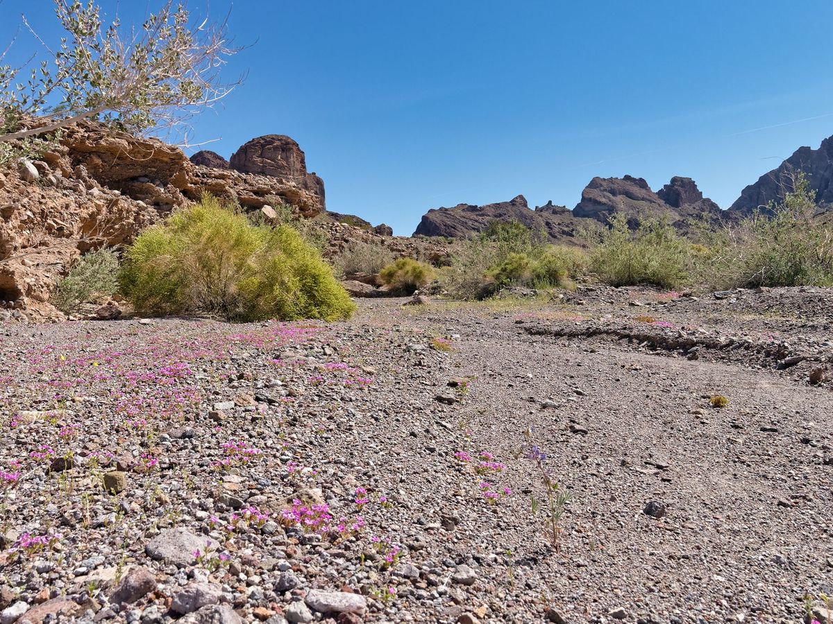
The desert has gone silent. Where once it was inhabited by homesteaders, miners, and even ranchers, now it's a checkerboard of wilderness areas delineated by long, lonely roads. Surely many interesting and historic sites remain, but how accessible are they now that most of the roads have been closed?
Such was our mindset when Jenni, my wife, and I planned our 2013 Spring Fling. We used Desert Magazine to pick our destinations and Dennis Casebiers' Guide to the East Mojave Heritage Trail to reach them. Part one, From Fenner to Sunflower Spring, is chronicled on Flickr. This is part two...
We became fascinated by the Blueprint Petroglyph. In an issue of Desert Magazine that you, dear reader, may find for yourself, we found a photograph of and detailed map to it. "How hard could it be?" Well, aside from the EMHT being closed through the Turtle Mountains Wilderness, we have photos...
Read next
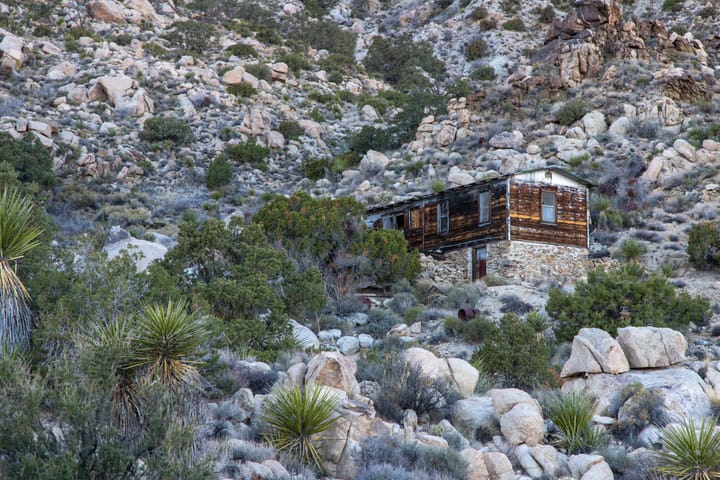
Goldstar and Pinyon Pine Mine Cabins
On the eastern slope of the rugged Old Woman Mountains are the remains of two weather-beaten cabins. Unlike the area's earlier gold and silver prospects, these mines targeted barite, a mineral primarily used in oil drilling. Barite (or Baryte) is a mineral consisting of barium sulfate, generally white
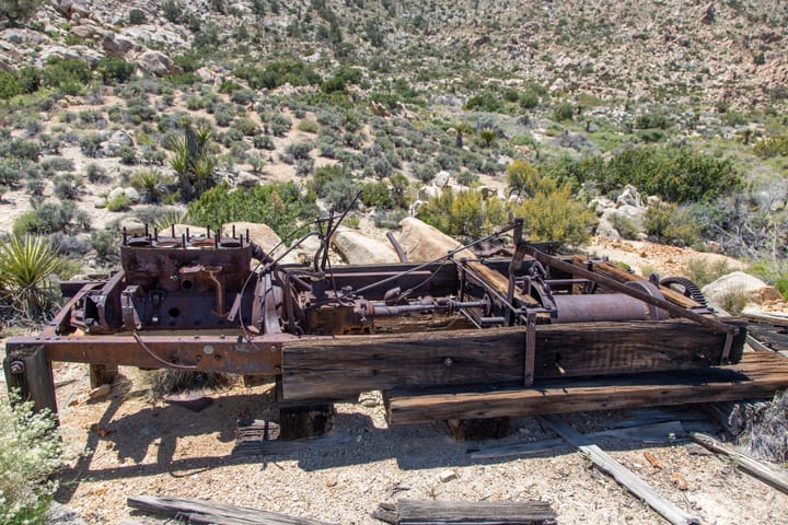
Lady Jeanne Mine
Nestled in the Old Woman Mountains Wilderness, the remote Lady Jeanne Mine is a challenging trek for those seeking beautiful scenery, solitude, and mining history. Surprisingly, I couldn't find any history on this gold and silver prospect. One wonders who Lady Jeanne was.
Up at the mine itself
The Lost Arch
No, there is another...
In 2022, while brainstorming for our annual Turkey Day Vacay, I recalled a saguaro that I’d seen in Vidal Valley and wondered if it was still there. The problem was that I’d never been to Vidal Valley, so I couldn’t possibly have seen