In 2022, while brainstorming for our annual Turkey Day Vacay, I recalled a saguaro that I’d seen in Vidal Valley and wondered if it was still there. The problem was that I’d never been to Vidal Valley, so I couldn’t possibly have seen the cactus in question. Such is the evocative power of Desert Magazine…
Satisfied that I’d imagined it, I retraced my research for our 2013 Spring Fling, when I must’ve seen the saguaro in another context. I consulted the index and asked Guy for several issues before finding a photo of it, towering over a full-grown man, on page 16 of the November 1944 issue…
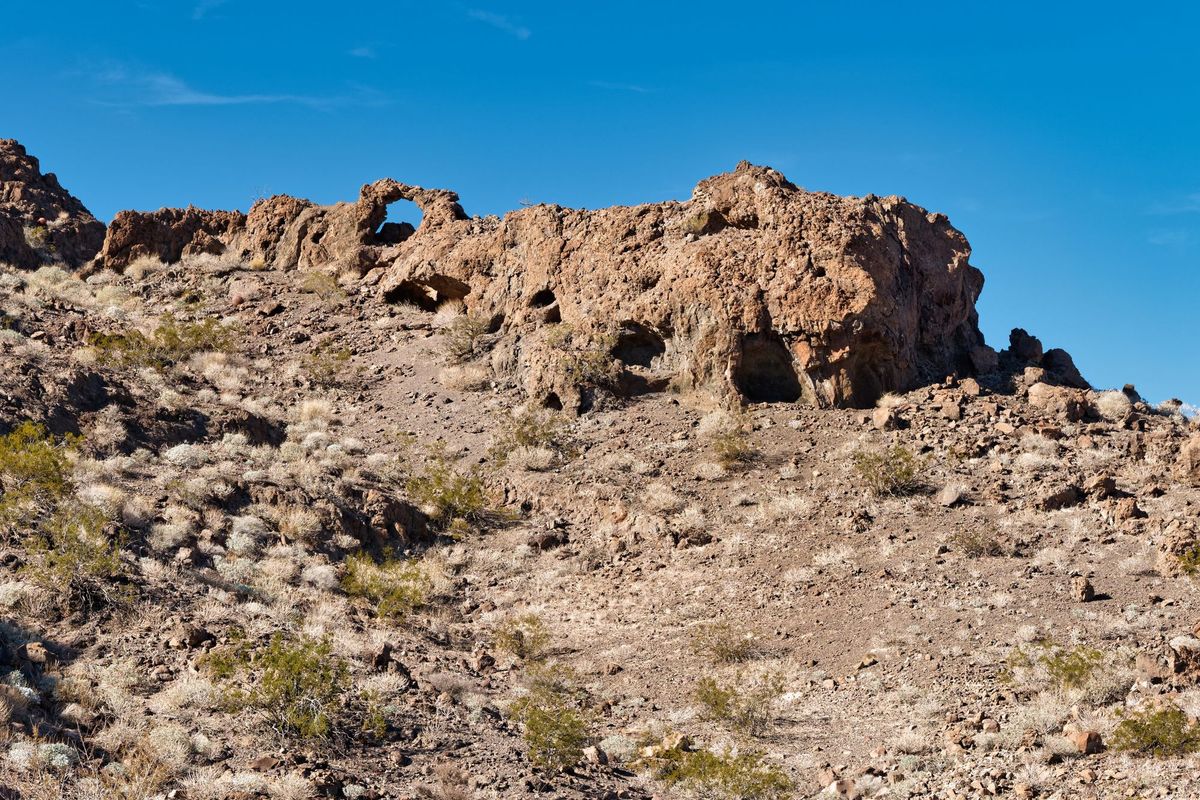
In the article, “We Found the Arch—but not the Nuggets” by Walter Ford, the saguaro is mapped as a landmark for a lost arch and a gem field. It was over 25 ft high 78 years ago, so if I find the arch, I'll find the cactus…if it still stands. A saguaro can live for over 200 years, and I needed an excuse…
Read next
Corn Springs Petroglyphs and the Little Chad Cabin
Corn Springs Petroglyphs
Out in the open canyon country of the Chuckwalla Mountains lies Corn Springs, one of Southern California's most significant (and often forgotten about) rock art sites. More than 600 petroglyphs have been carved into desert-varnished granite boulders over thousands of years. This was a crucial
The Blueprint Petroglyph
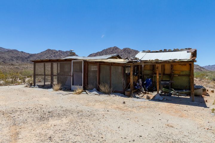
The desert has gone silent. Where once it was inhabited by homesteaders, miners, and even ranchers, now it's a checkerboard of wilderness areas delineated by long, lonely roads. Surely many interesting and historic sites remain, but how accessible are they now that most of the roads have been
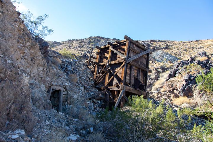
Virginia May Mine
The Virginia May Mine (also known as the Horn Mine) had been on my "To Do" list for years. It was never a high priority, but its remoteness called to me. Located in the southern Turtle Mountains of California, it is out in the middle of nowhere, and