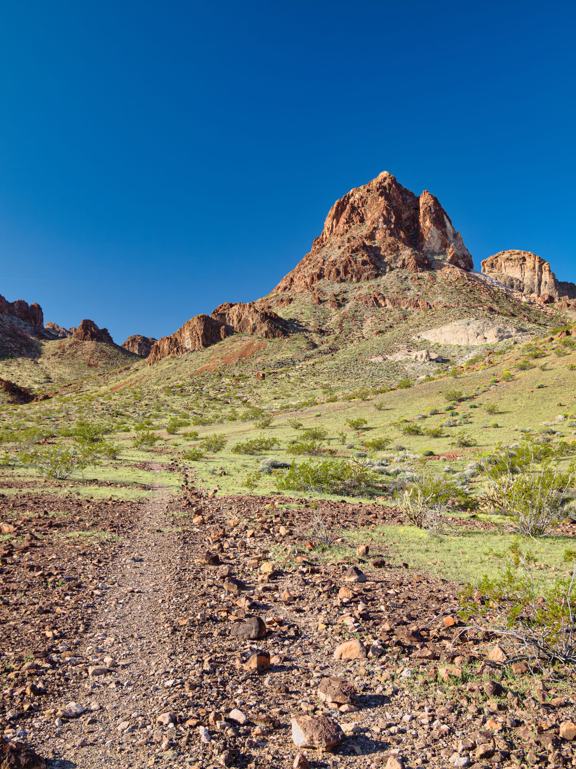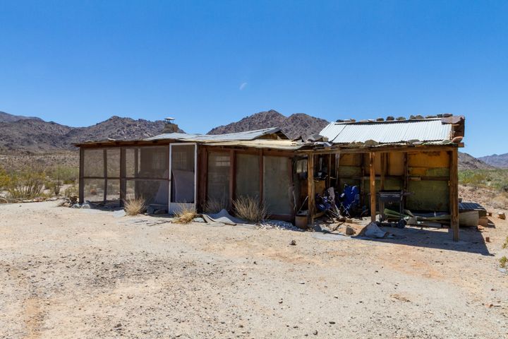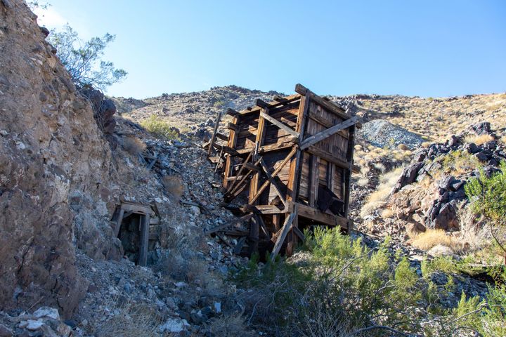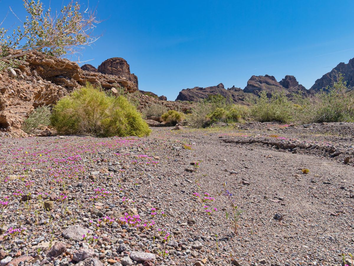
The desert has gone silent. Where once it was inhabited by homesteaders, miners, and even ranchers, now it's a checkerboard of wilderness areas delineated by long, lonely roads. Surely many interesting and historic sites remain, but how accessible are they now that most of the roads have been closed?
Such was our mindset when Jenni, my wife, and I planned our 2013 Spring Fling. We used Desert Magazine to pick our destinations and Dennis Casebiers' Guide to the East Mojave Heritage Trail to reach them. Part one, From Fenner to Sunflower Spring, is chronicled on Flickr. This is part two...
We became fascinated by the Blueprint Petroglyph. In an issue of Desert Magazine that you, dear reader, may find for yourself, we found a photograph of and detailed map to it. "How hard could it be?" Well, aside from the EMHT being closed through the Turtle Mountains Wilderness, we have photos...
Sorry, I won't give you explicit directions to the Blueprint Petroglyph. I'm hesitant to post this at all for fear of "outing" it to the digital world. I must set the tone for the photos, however, so you can get within a half mile of it by following along. You may walk right up to it if you find the map in Desert Magazine...