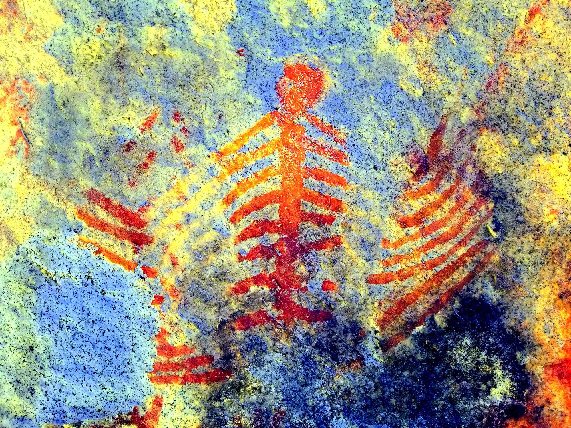
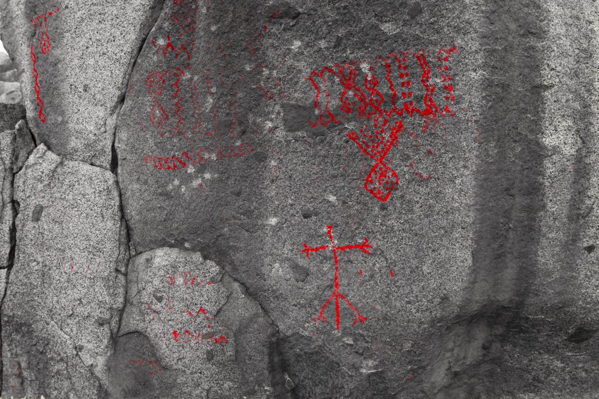
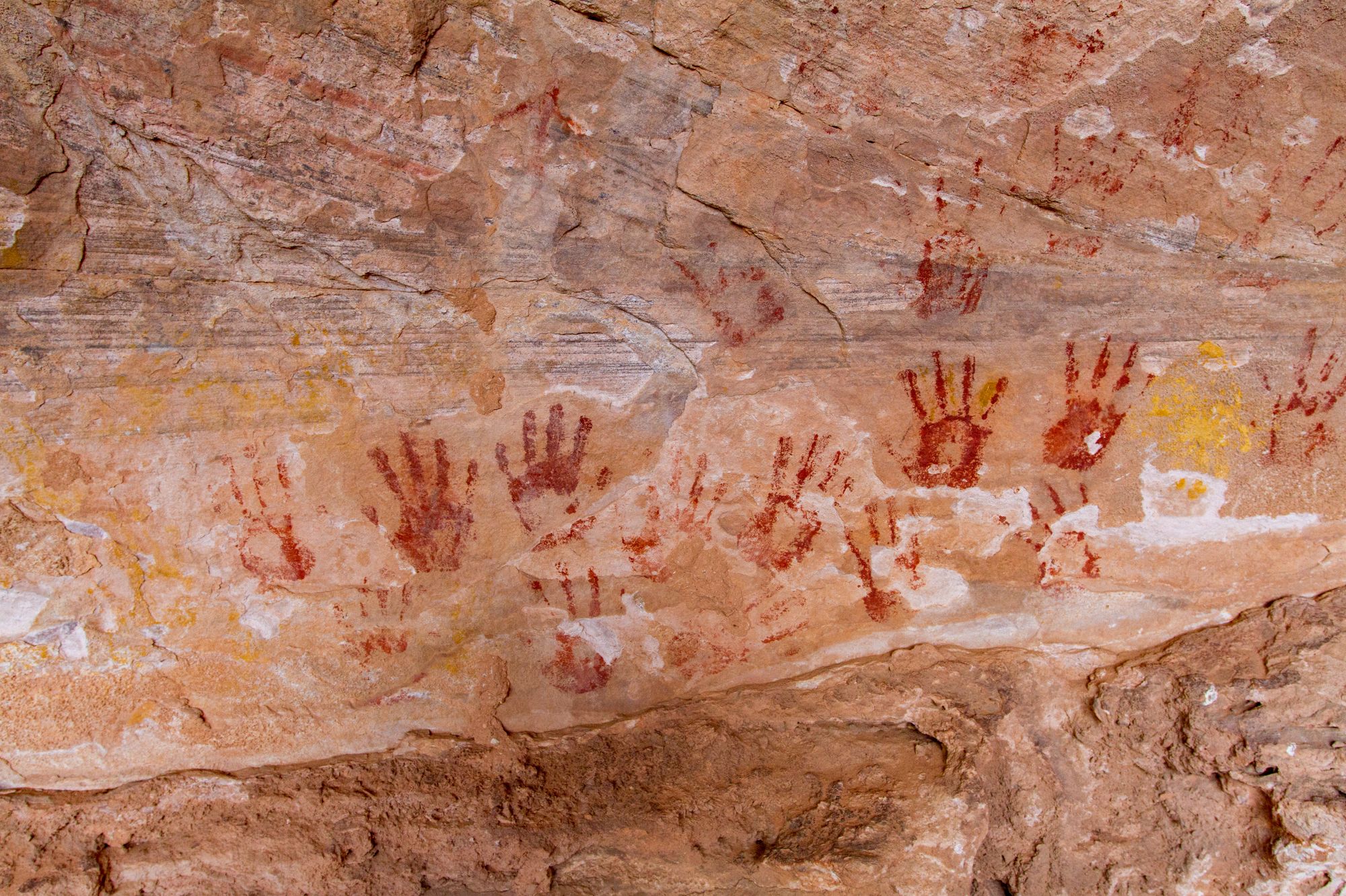
Not all trips have maps, GPS waypoints, or directions. I add more as I have time. I generally don't post directions or waypoints to rock art sites unless they are already known or published.
Be sure to scroll all the way down on these pages to load all the posts.
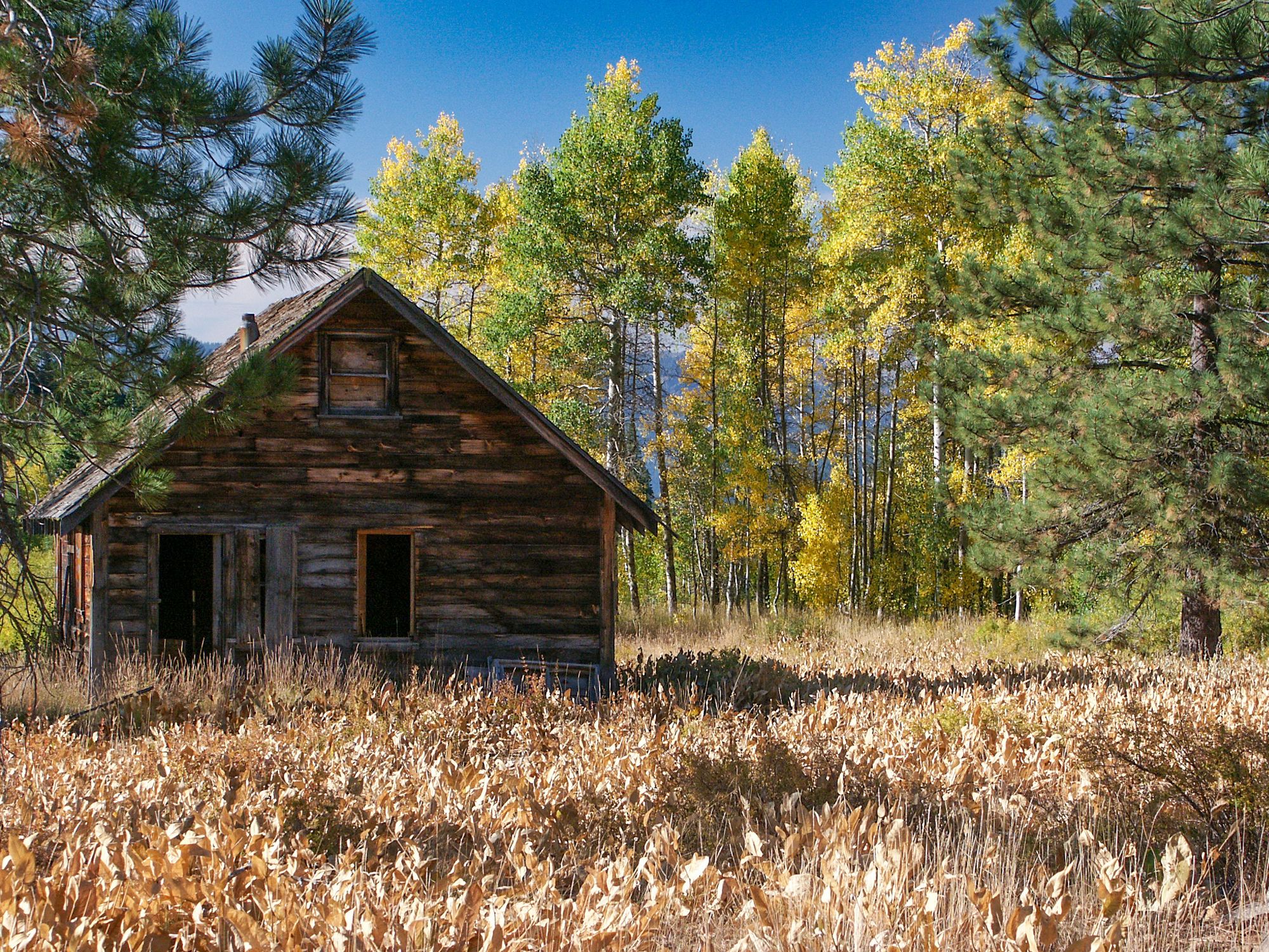
Arizona
Grand Canyon-North Rim Country
North Rim of the Grand Canyon and the Parashant of the Arizona Strip
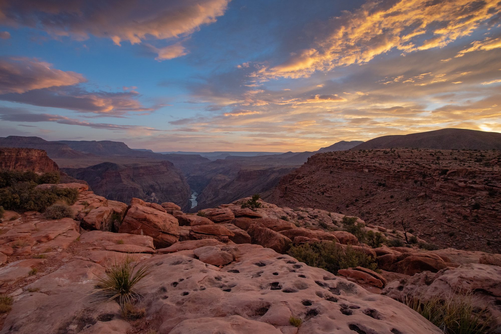
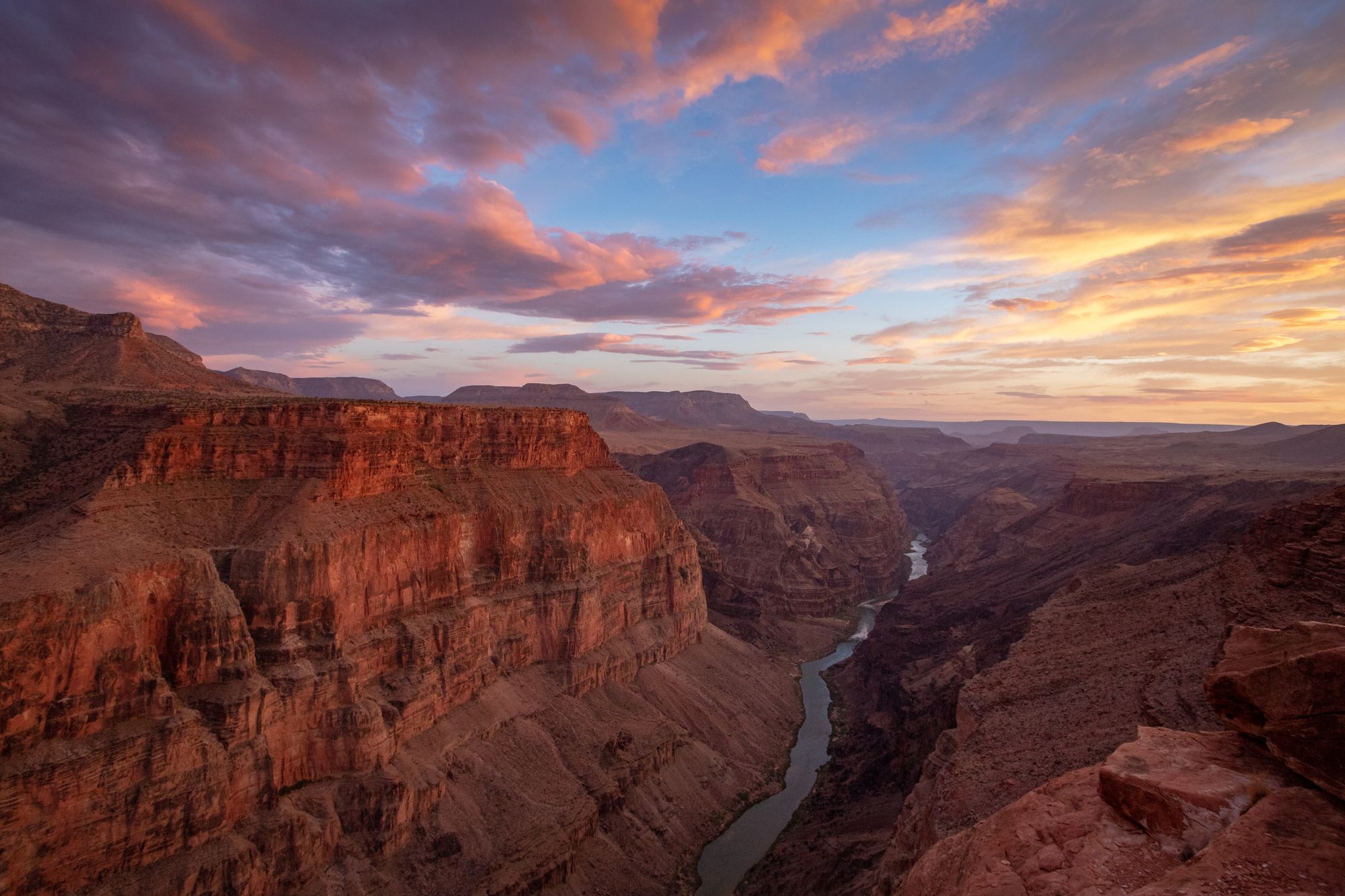
Grand Canyon-South Rim Country
South Rim of the Grand Canyon
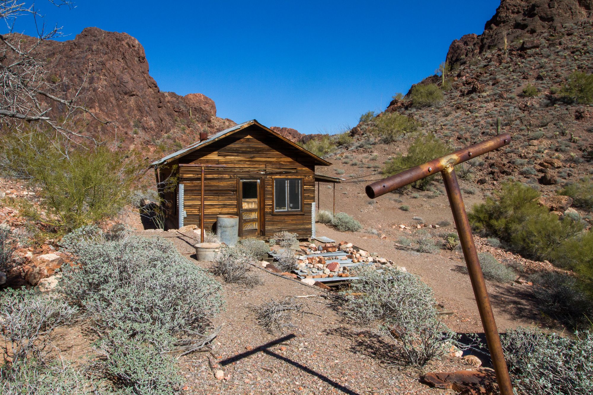
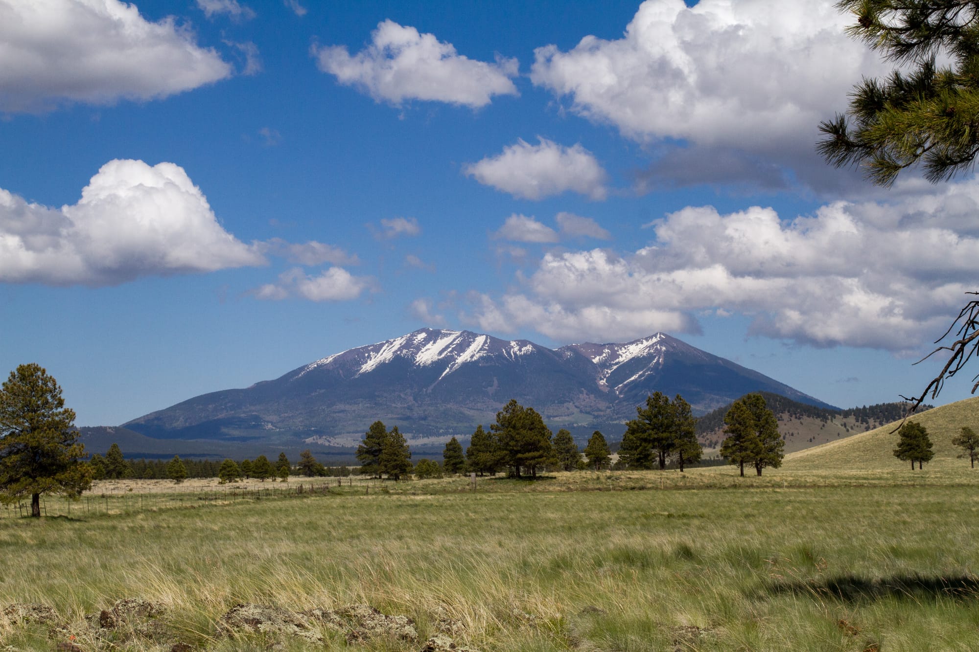
Sonoran Desert
Arizona's Sonoran Desert
California
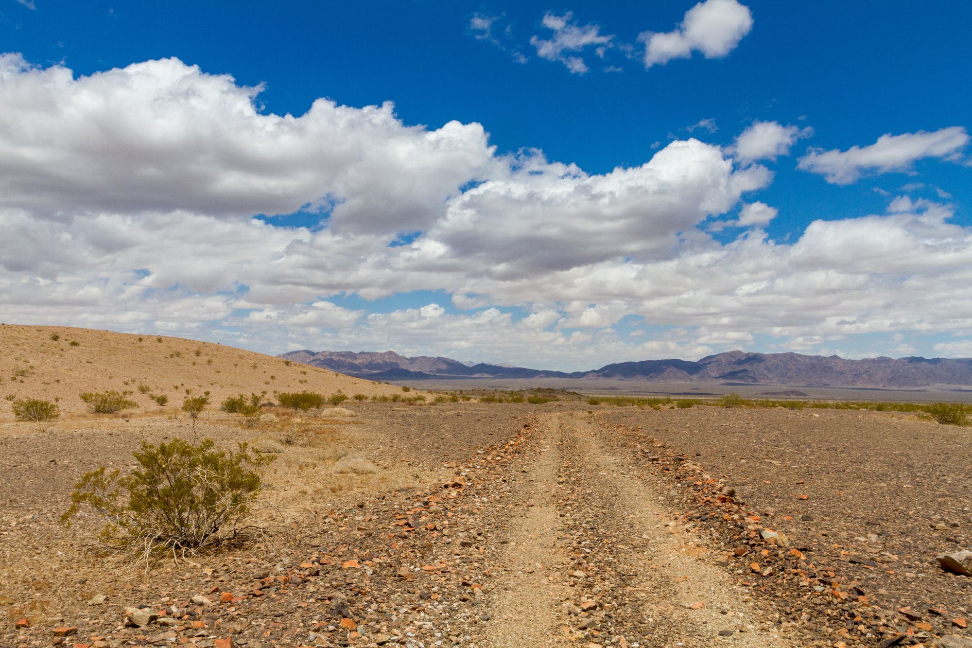
Amargosa Basin
The Amargosa Basin, north of the Mojave Preserve and east of Death Valley in California
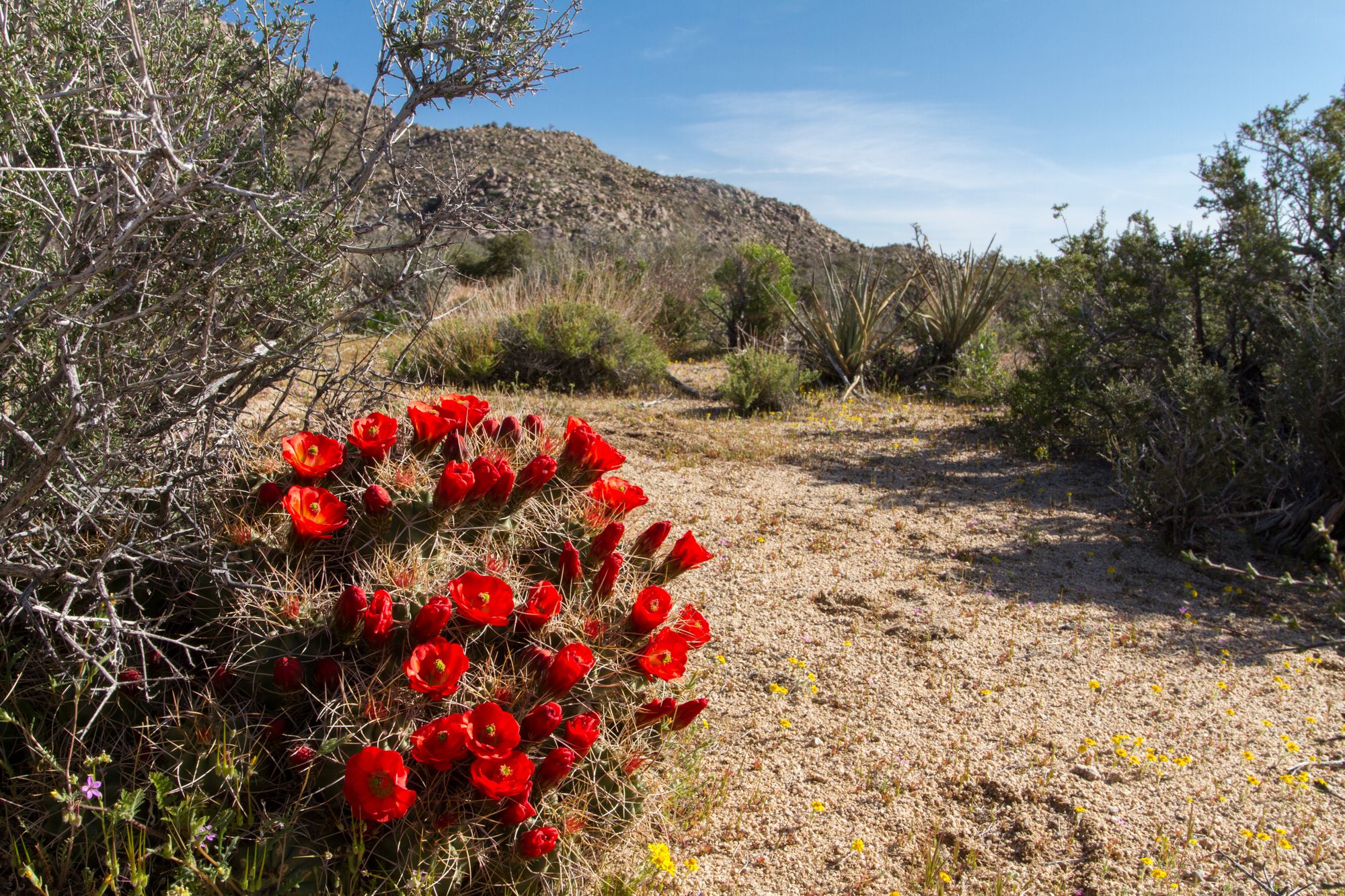
Anza Borrego and Chuckwalla Deserts
Anza Borrego country and the Chuckwalla National Monument of California
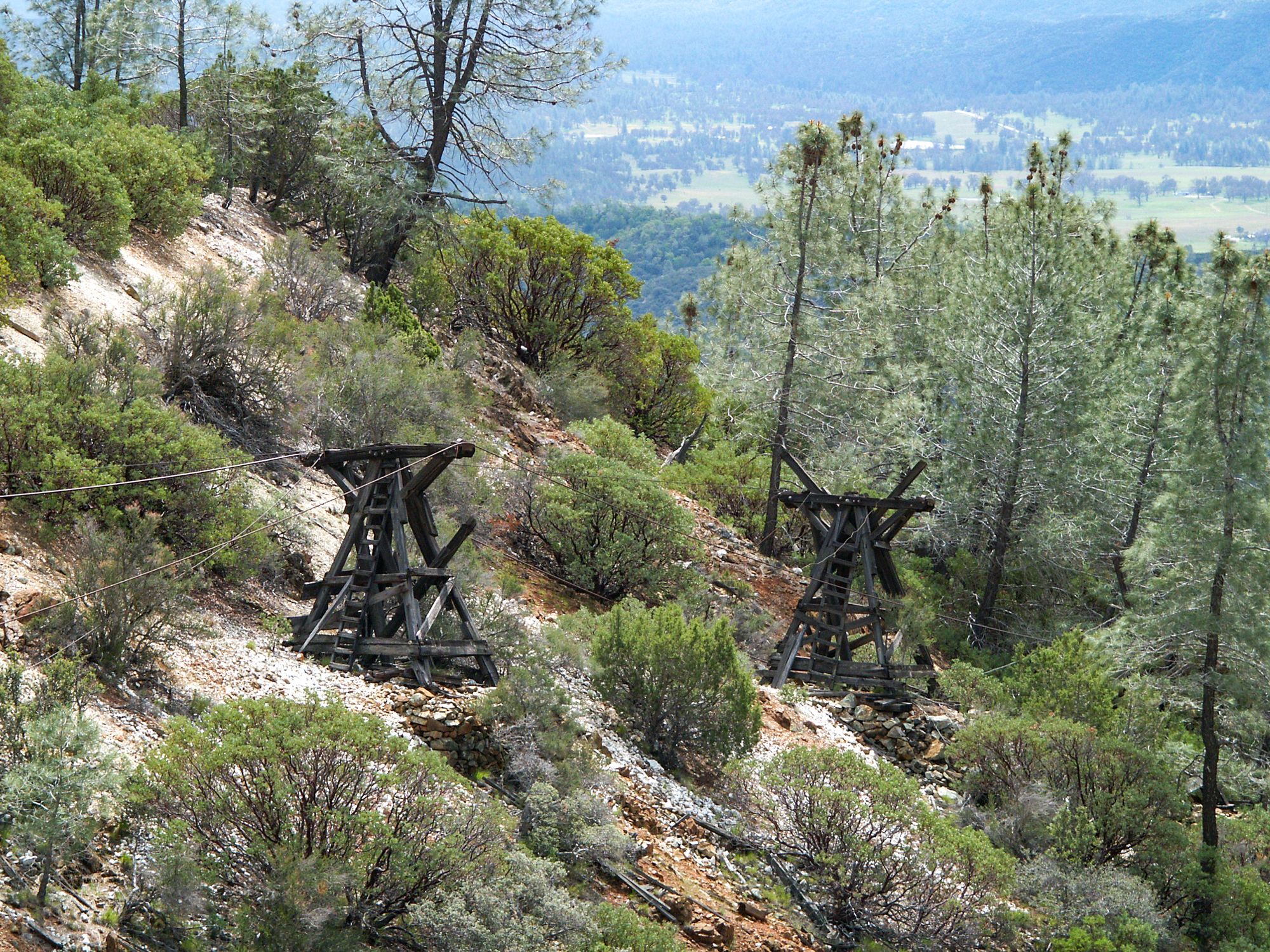
California's Central Coast and Valley
California's Central Coast and Valley
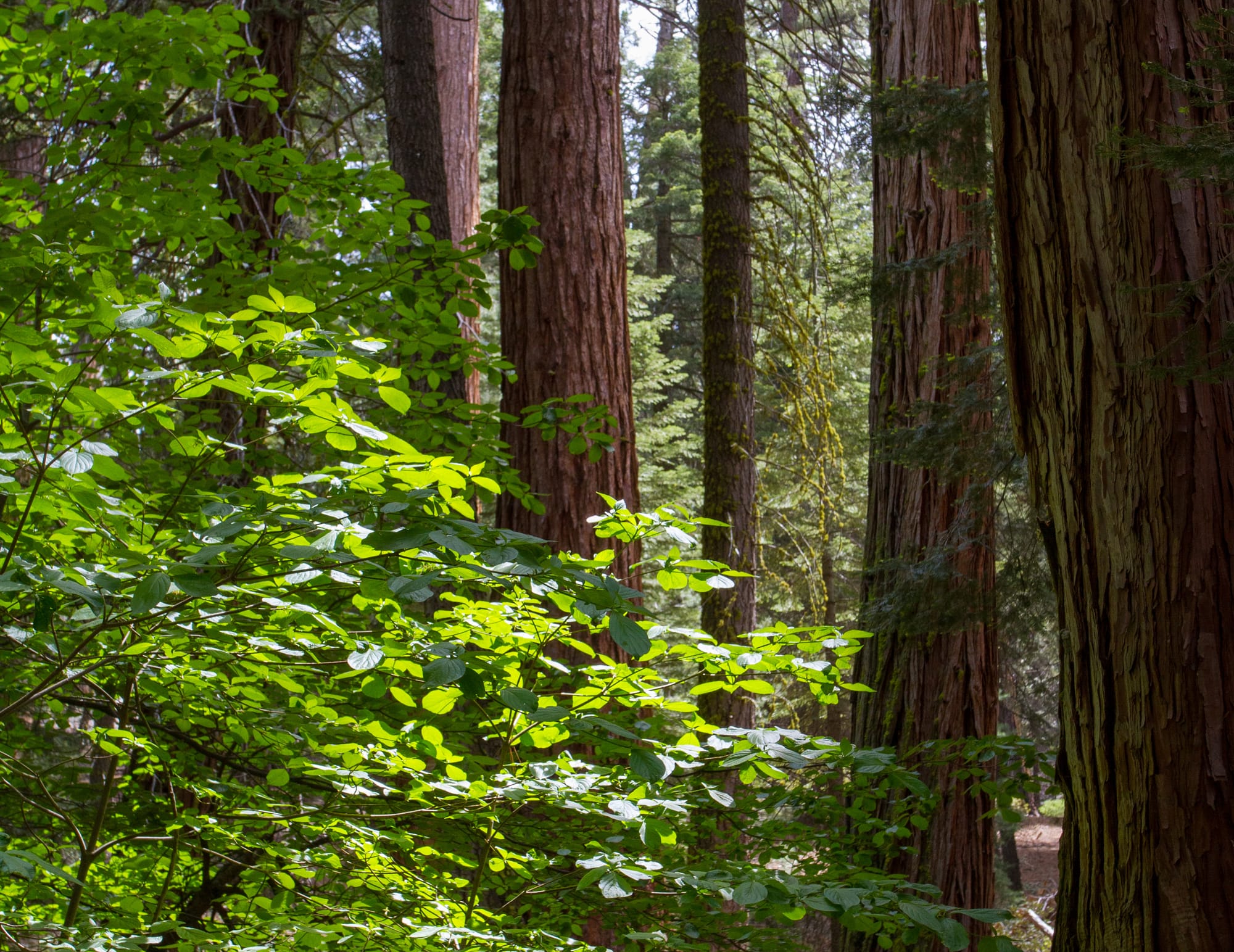
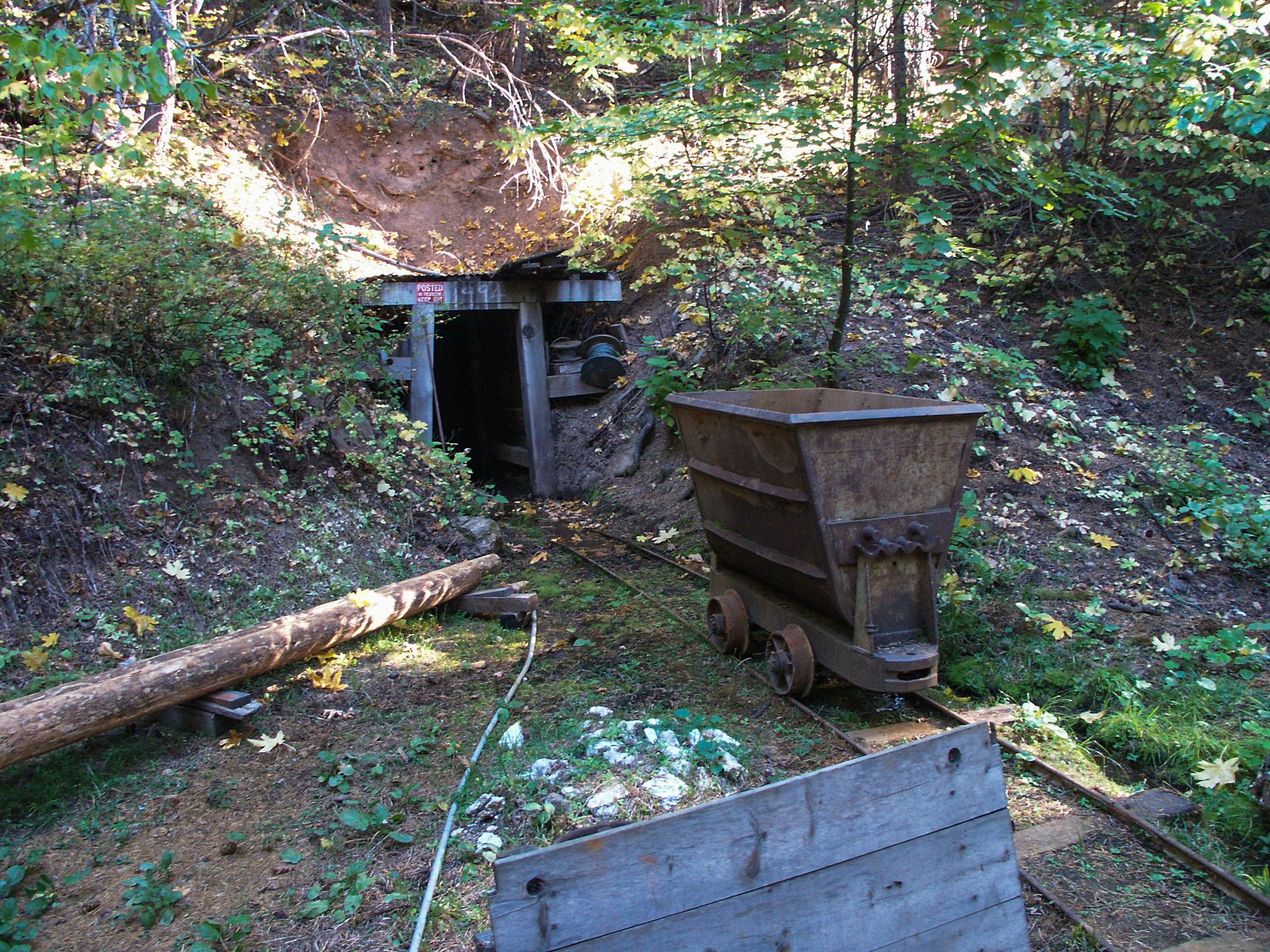
California's Klamath and North Coast Ranges
California's Klamath and North Coast Ranges
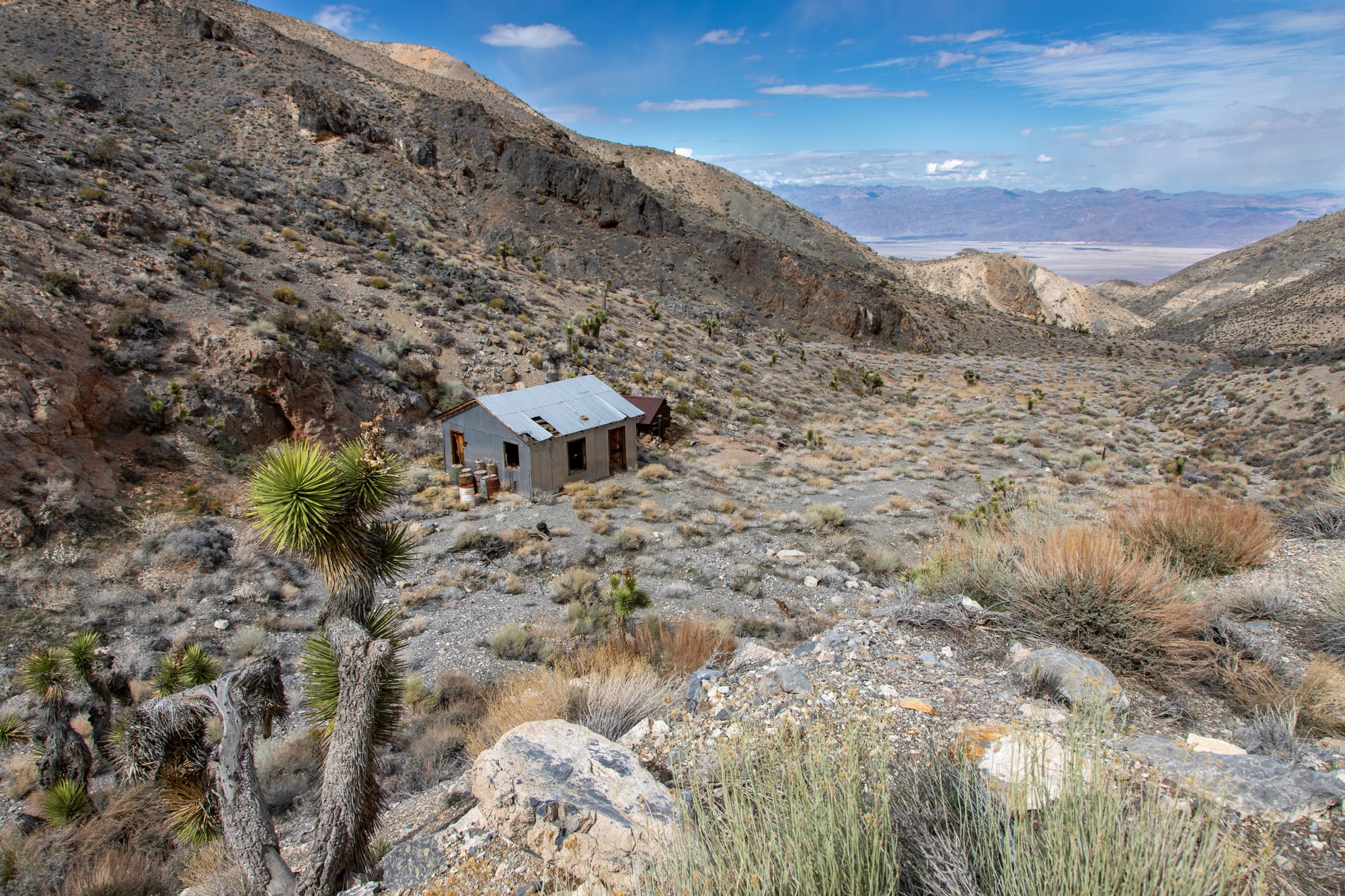
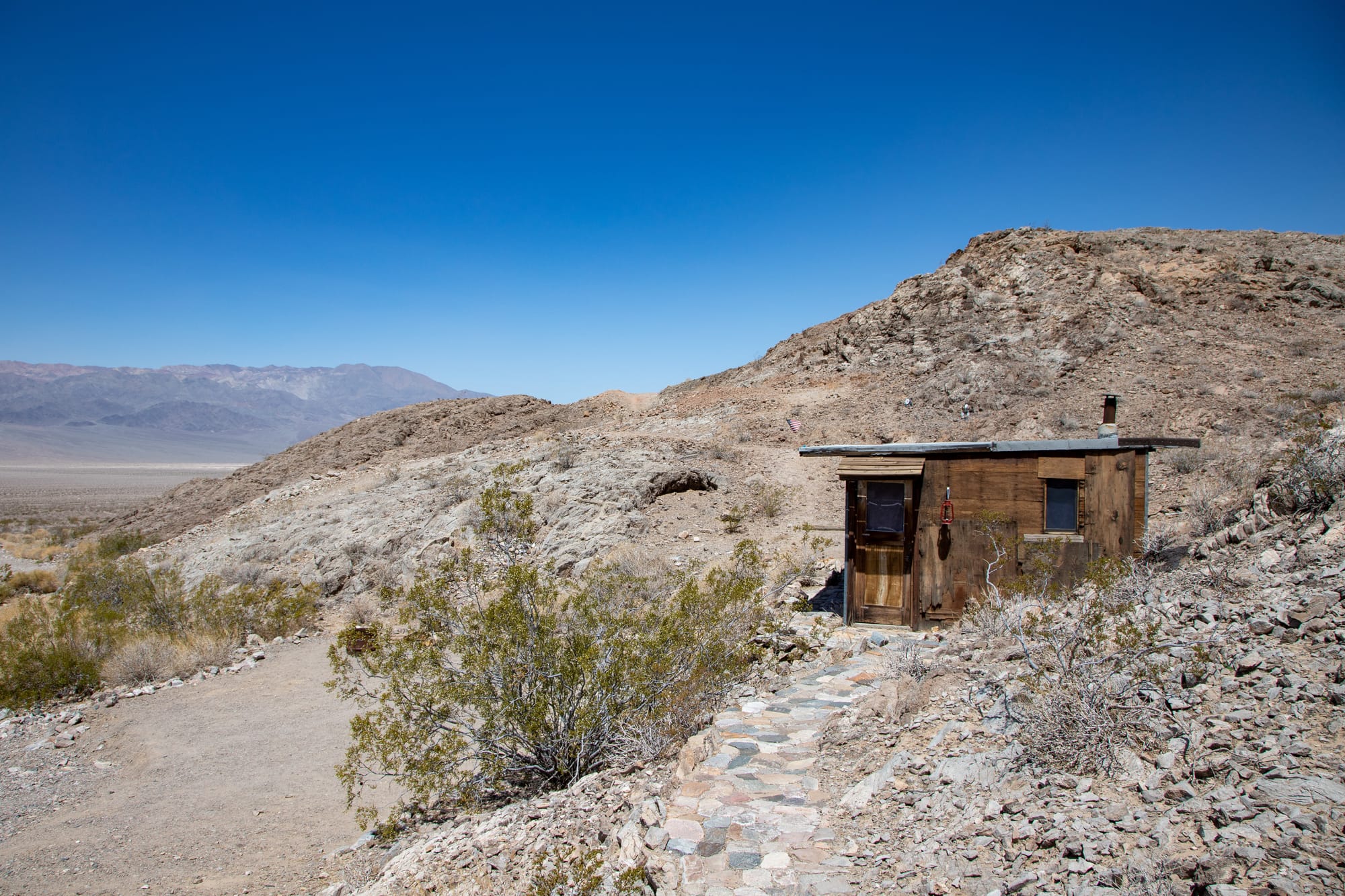
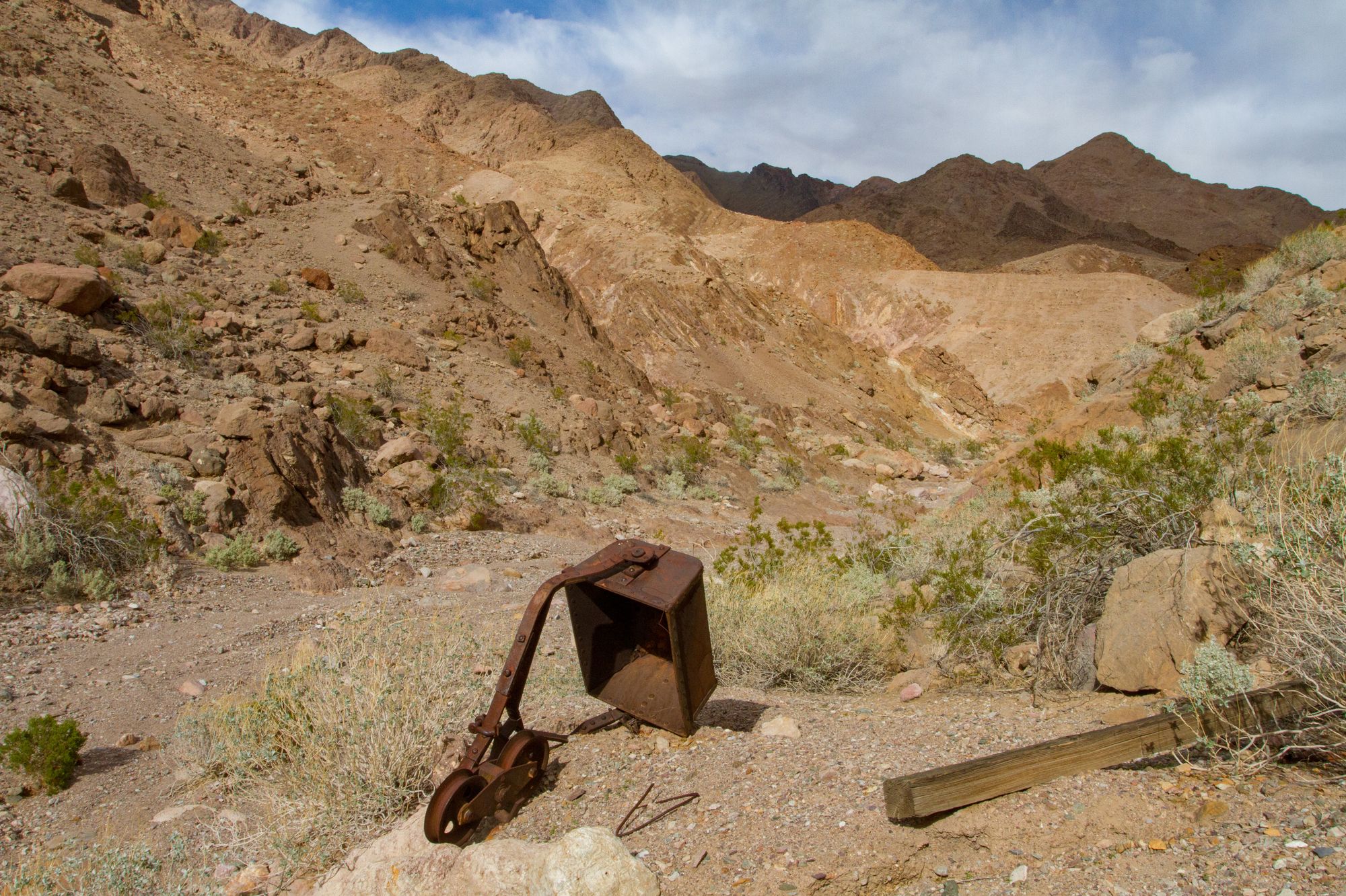
Death Valley-Northern
Northern Death Valley region of California, including the Cottonwood, Grapevine, Saline, and the Last Chance mountain ranges
Death Valley-Southern
Southern Death Valley region of California, including the Greenwater, Funeral, Black, Owlhead, and Panamint mountain ranges
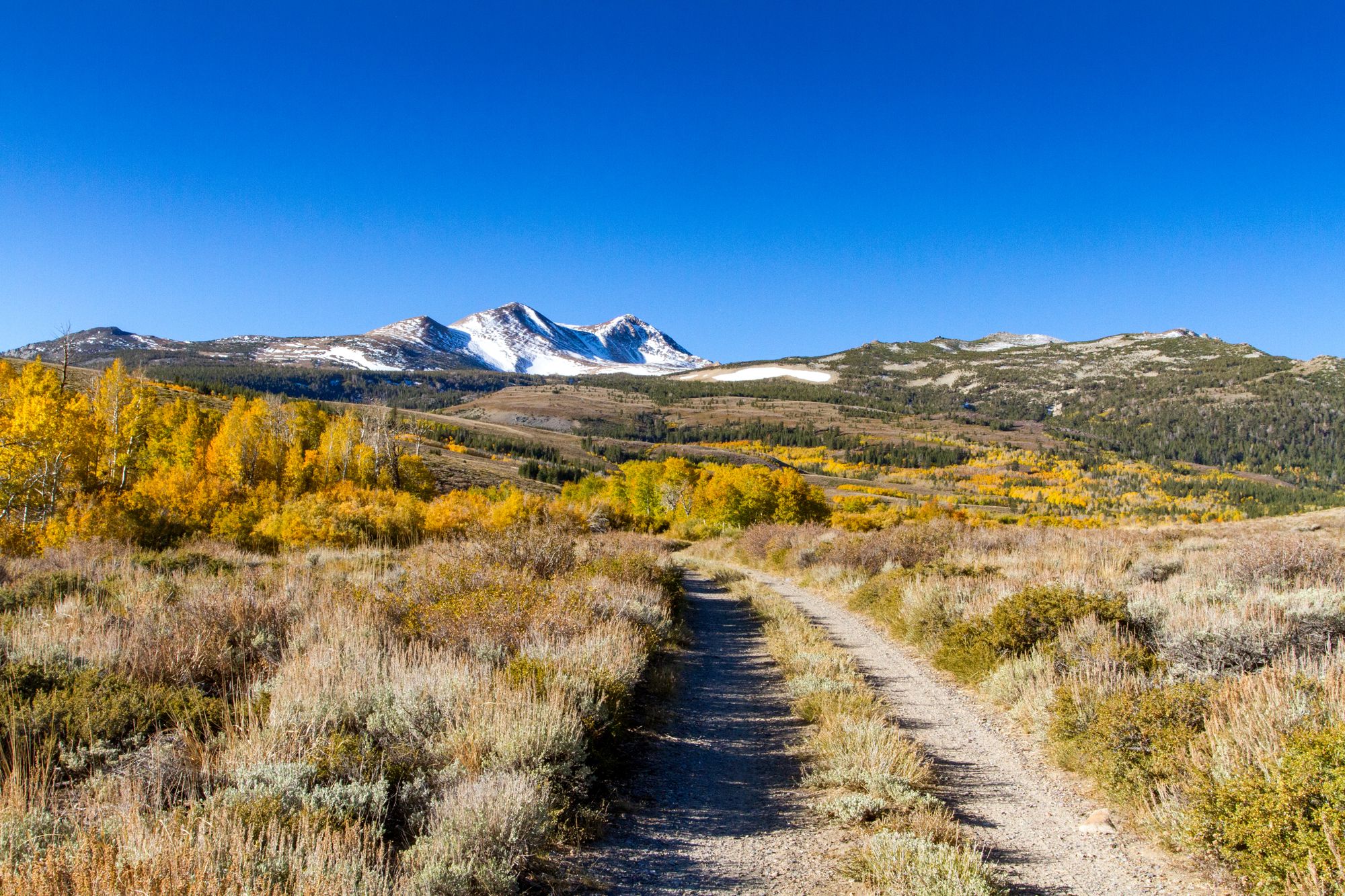
Eastern Sierra and Mono Country
Eastern Sierra Nevada and Mono Country of California
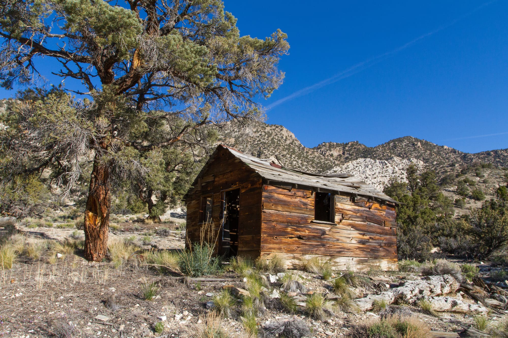
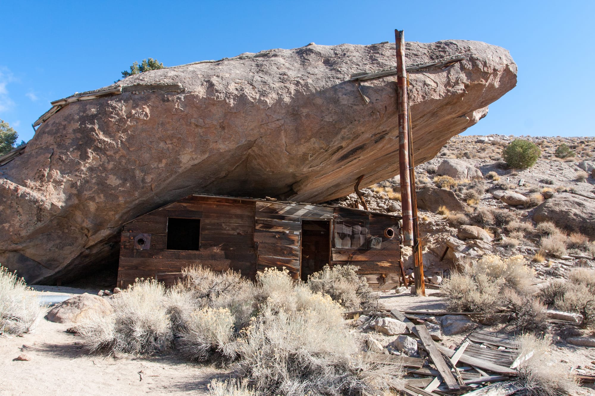
Inyo and White Mountains
Inyo and White Mountains of Eastern California
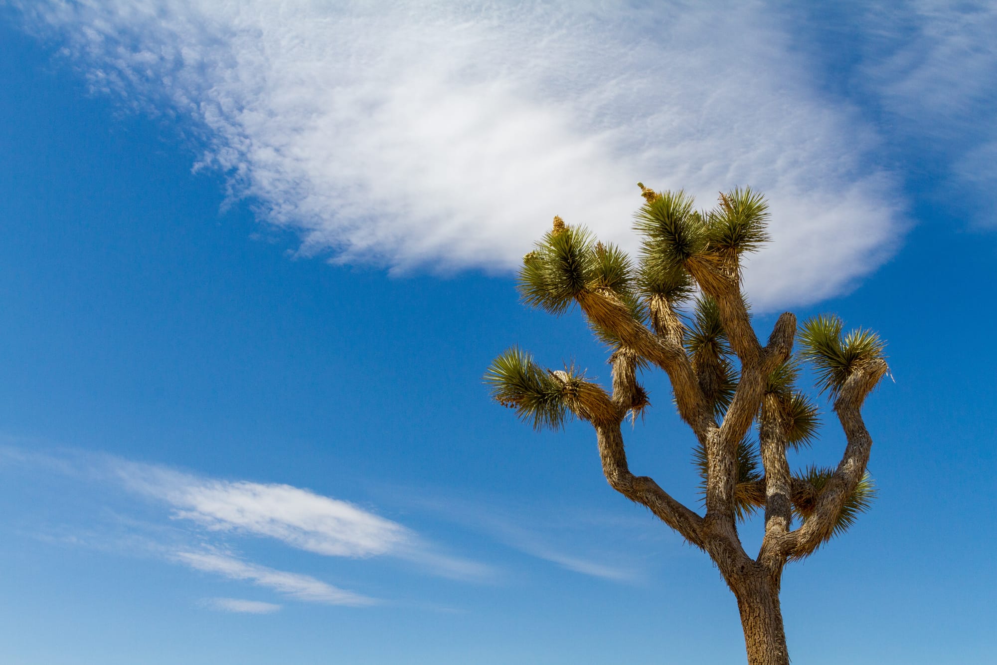
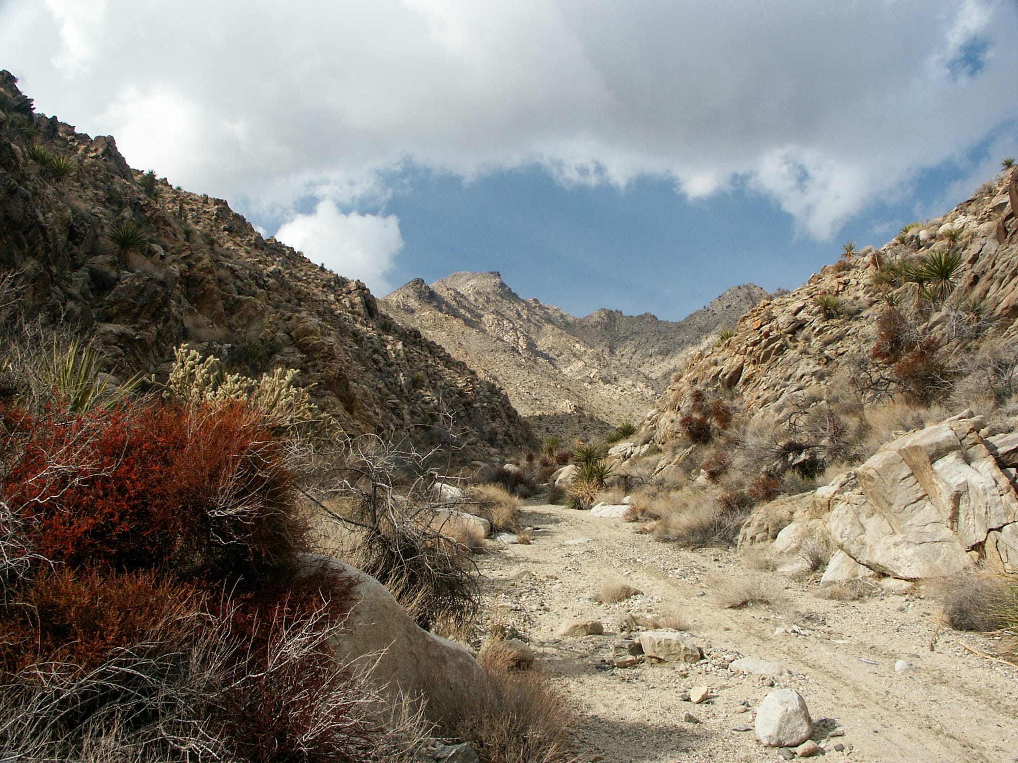
Joshua Tree
Joshua Tree National Park and the surrounding area in California
Mojave Preserve
Mojave National Preserve and surrounding region of California
Mojave Trails
Covering most of California's Mojave Trails National Monument, and including the Old Woman and the Turtle Mountains. Stretching between I-10 and I-40 freeways, the Twentynine Palms Marine Base, and the Arizona border.
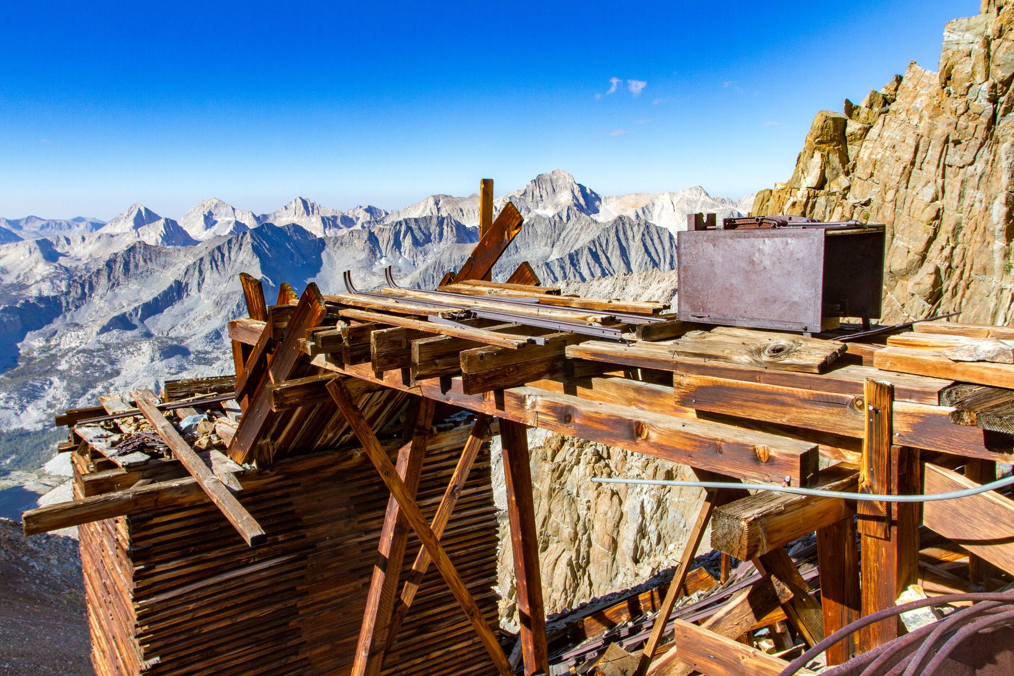
Sequoia and Southern Sierra
Sequoia and Kings Canyon National Parks and the southern Sierra Nevada of California
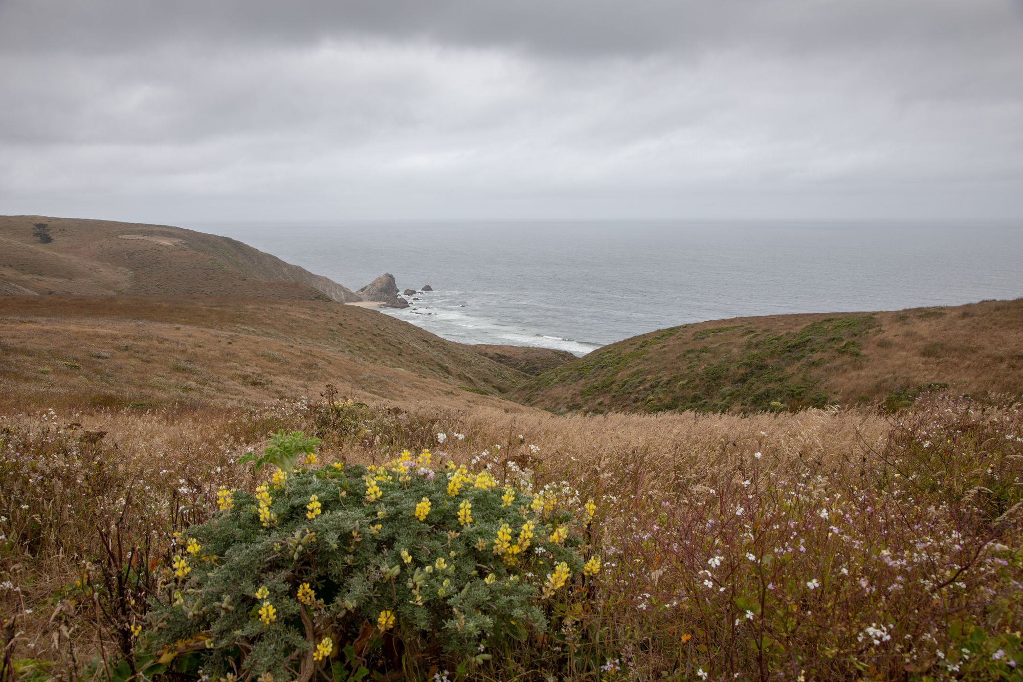
Southern California Coast and Mountains
Southern California's Coasts and Mountains
Tahoe Sierra and Modoc Country
Lake Tahoe, Plumas, and the Modoc regions of California
Western Mojave
California's Western Mojave Desert, stretching from the southern Sierra Nevada mountains to the Mojave Preserve, including the Coso and Argus mountains.
Yosemite and Central Sierra
Yosemite National Park and the central Sierra Nevada Mountains of California

Colorado
Northwest Colorado
The Park Range, West Elk Mountains, and Wyoming Basin regions of Colorado
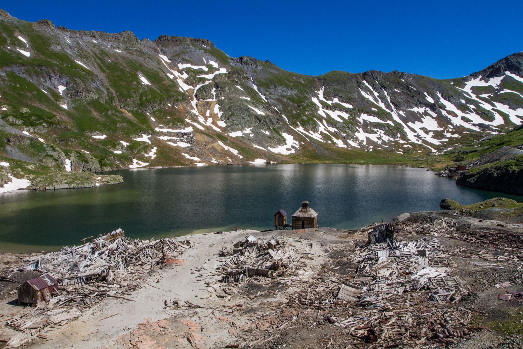
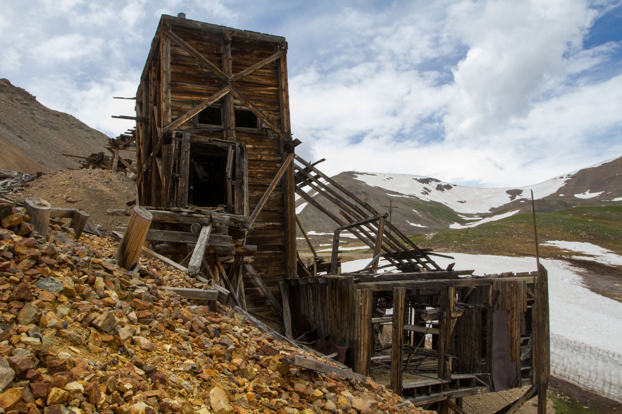
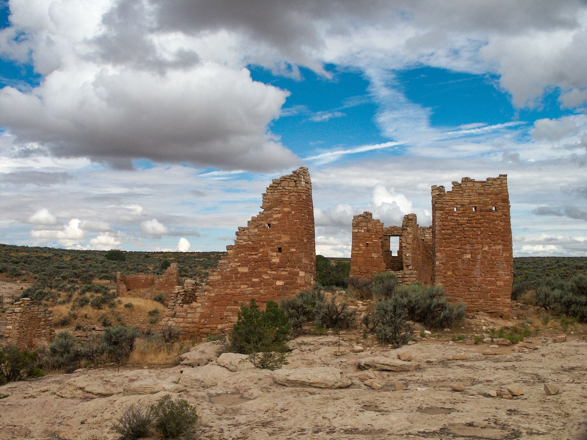
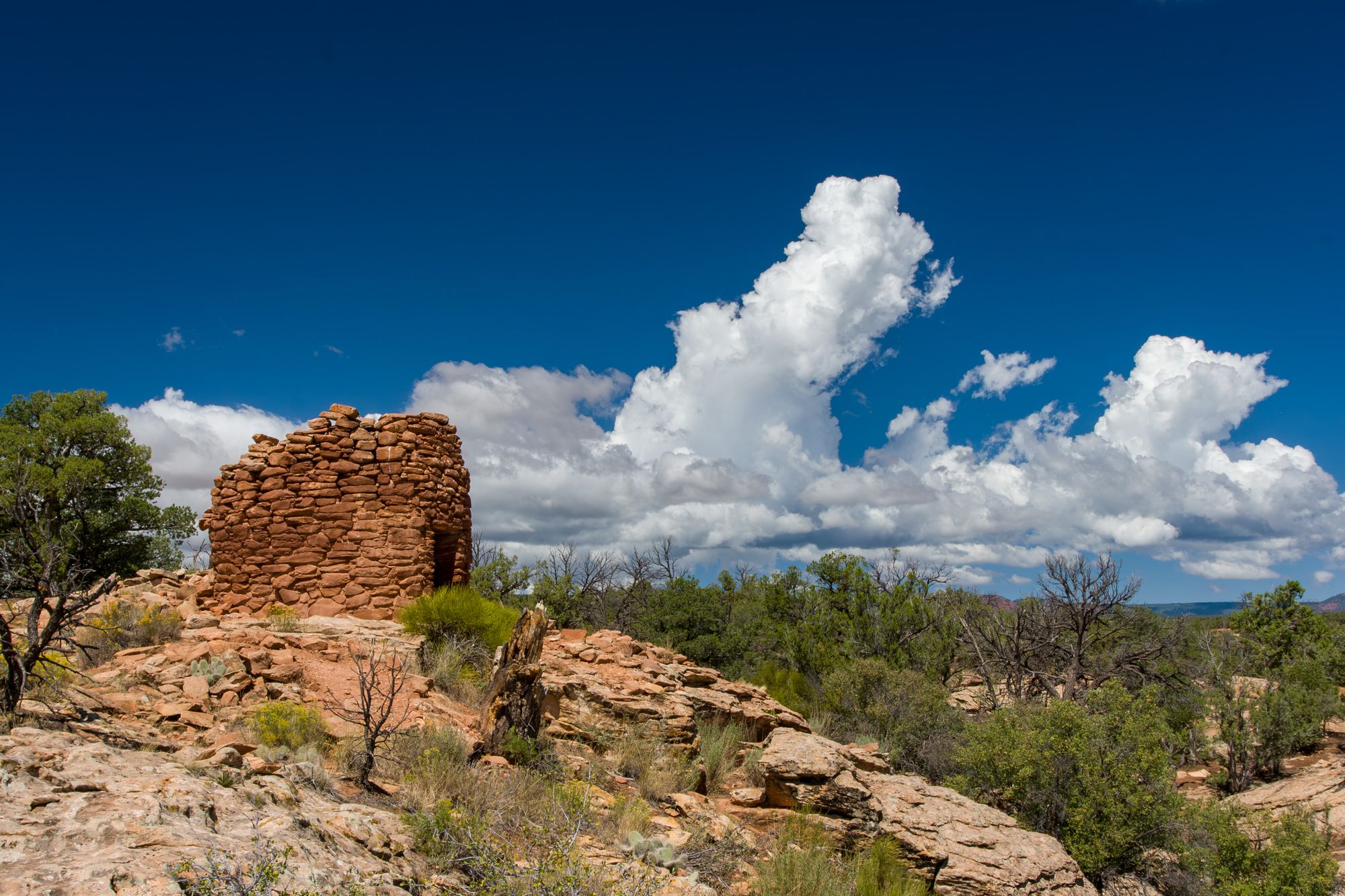
San Juan Mountains and Mesa Verde
The San Juan Mountains, Uncompahgre Plateau, and Mesa Verde of Southwestern Colorado
Idaho
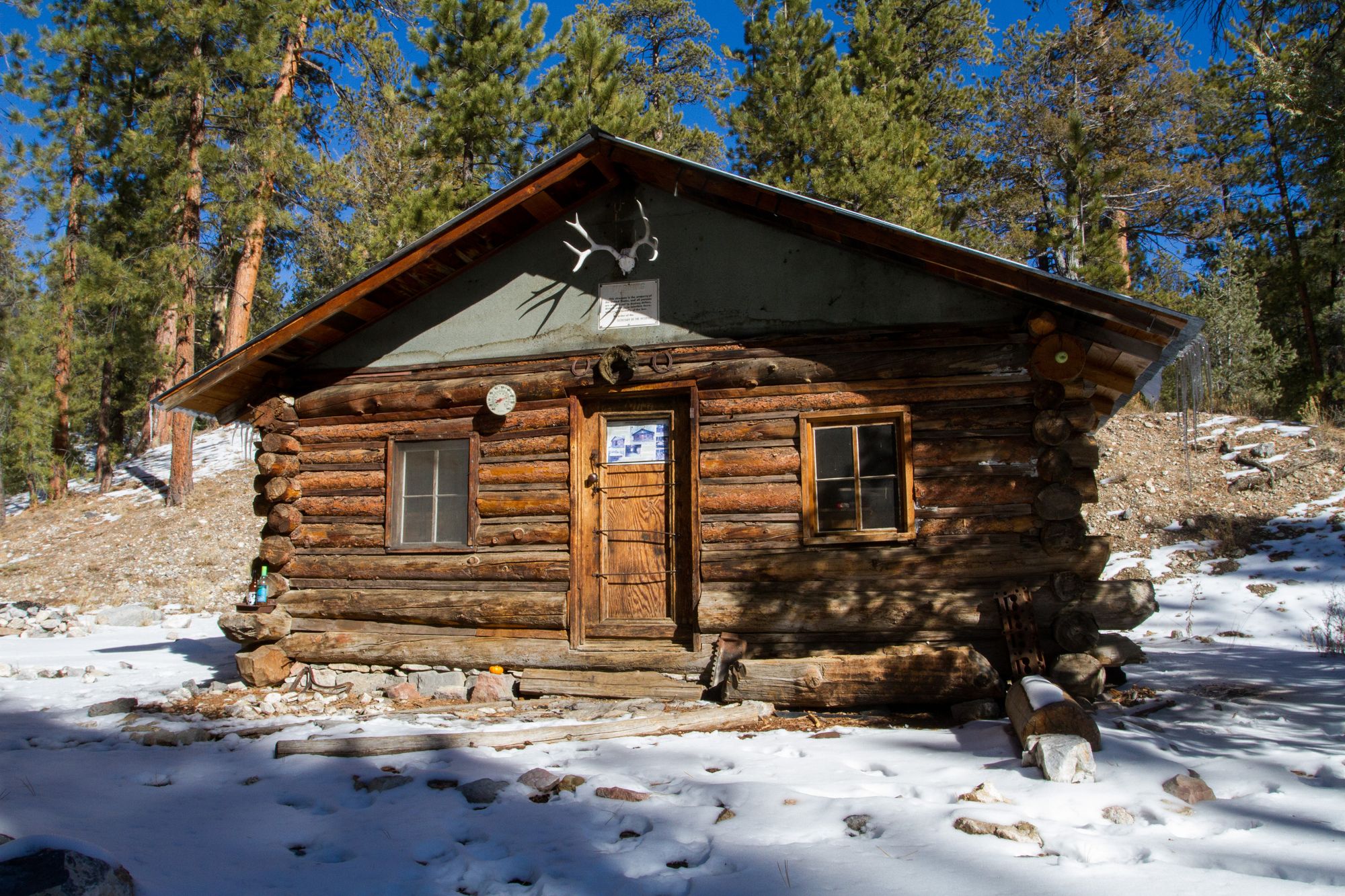
Central Idaho
Central Idaho, including the Sawtooths and the Frank Church Wilderness
Montana
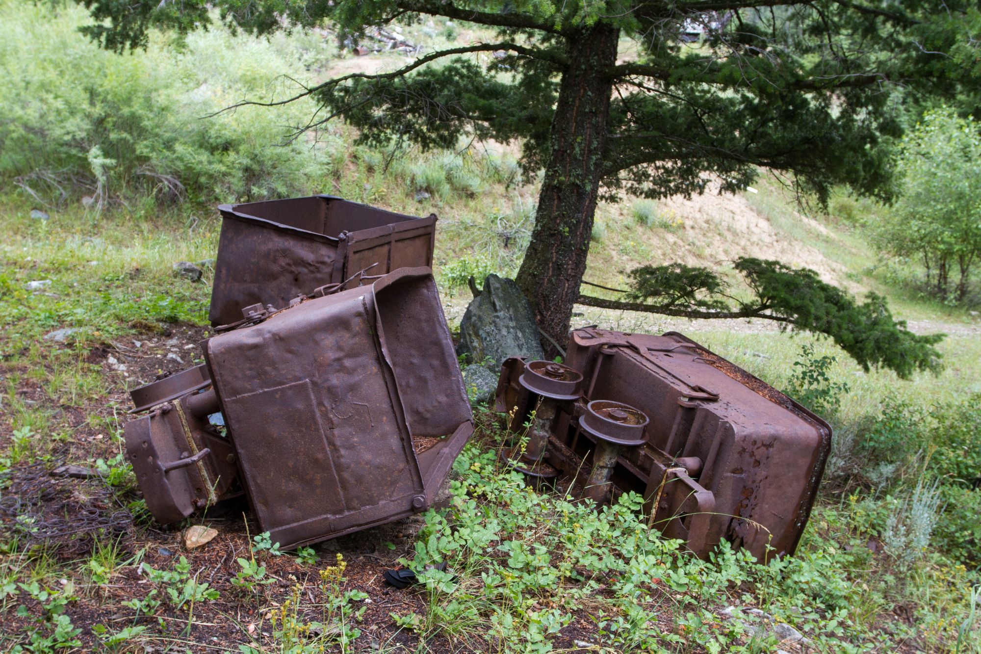
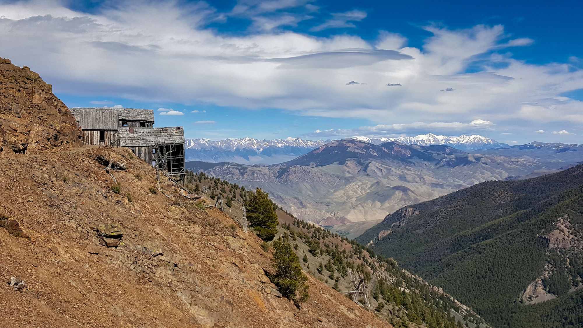
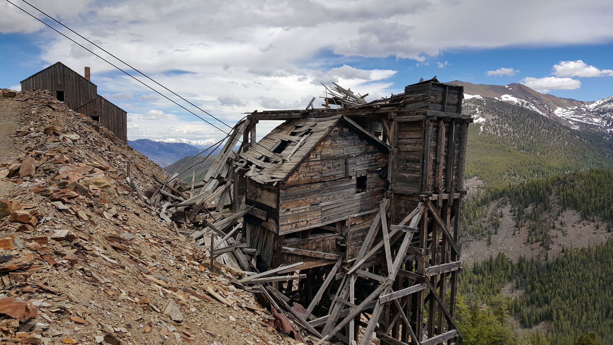
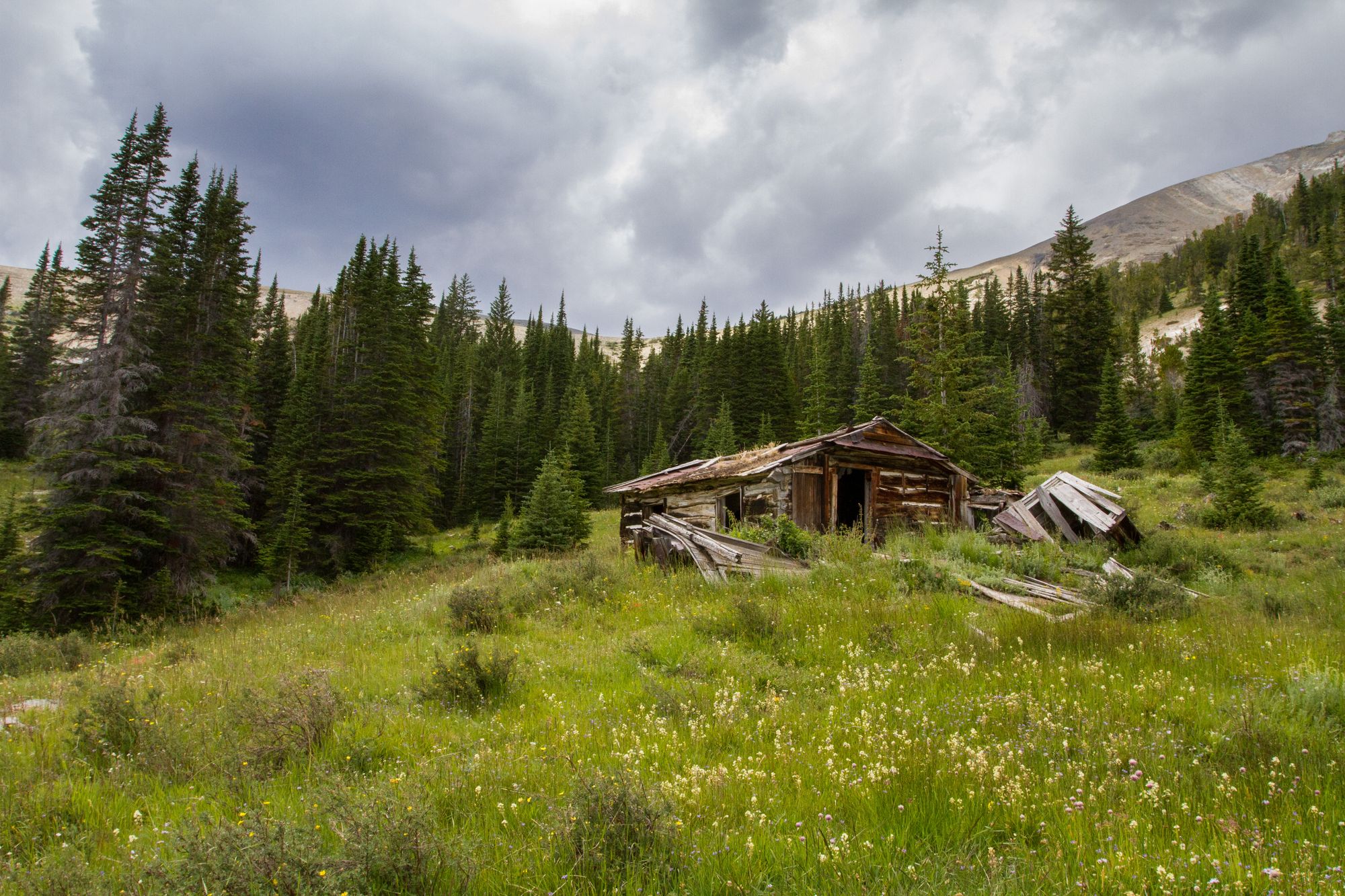
Montana's Central Rockies
The Central Rockies of Montana
Nevada
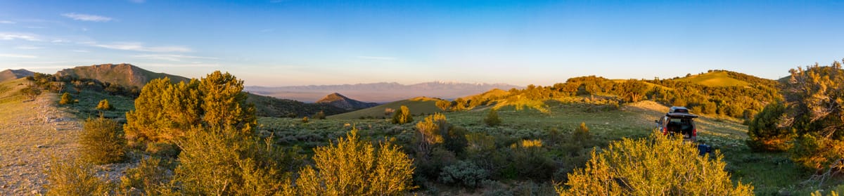
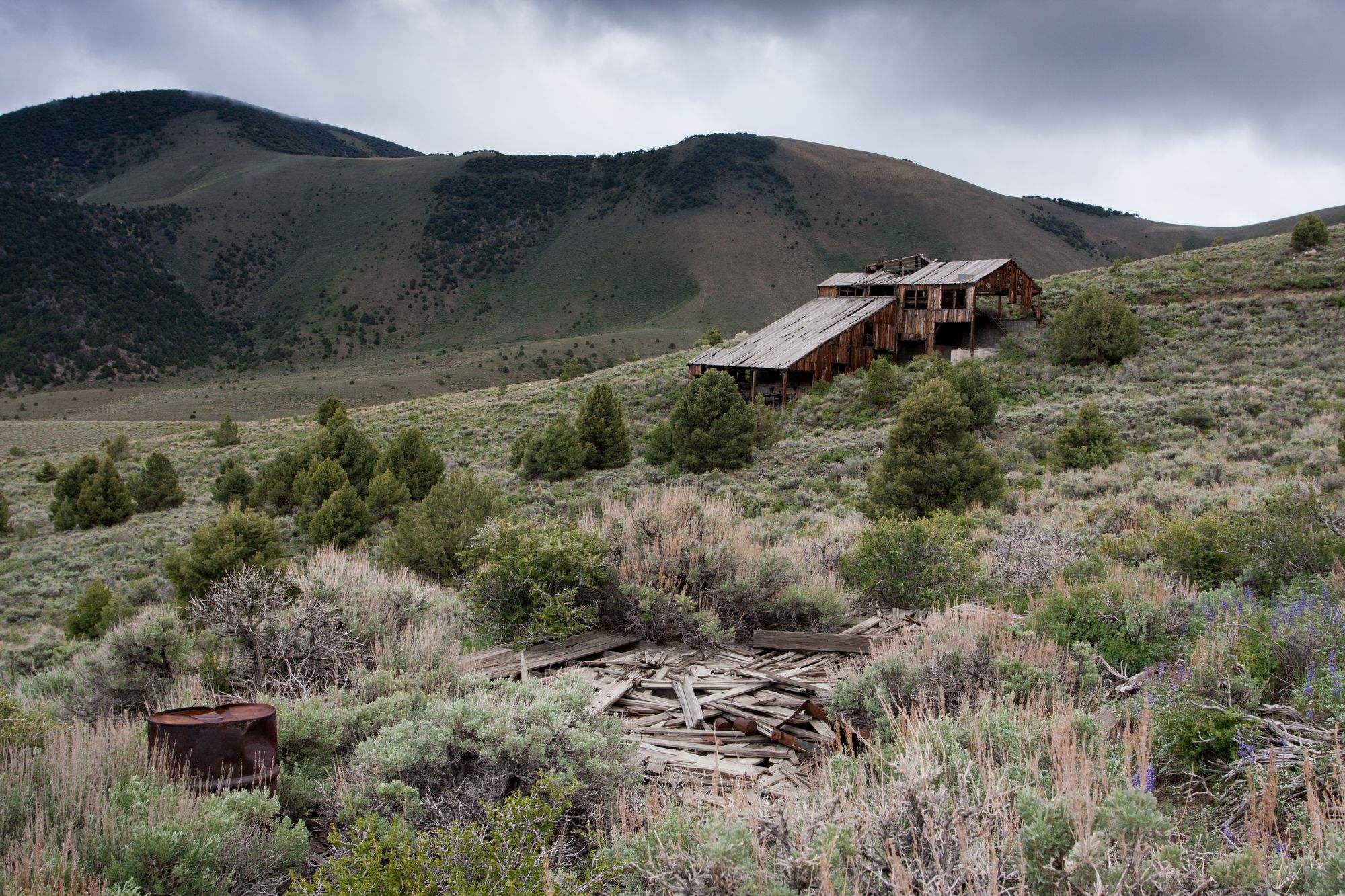
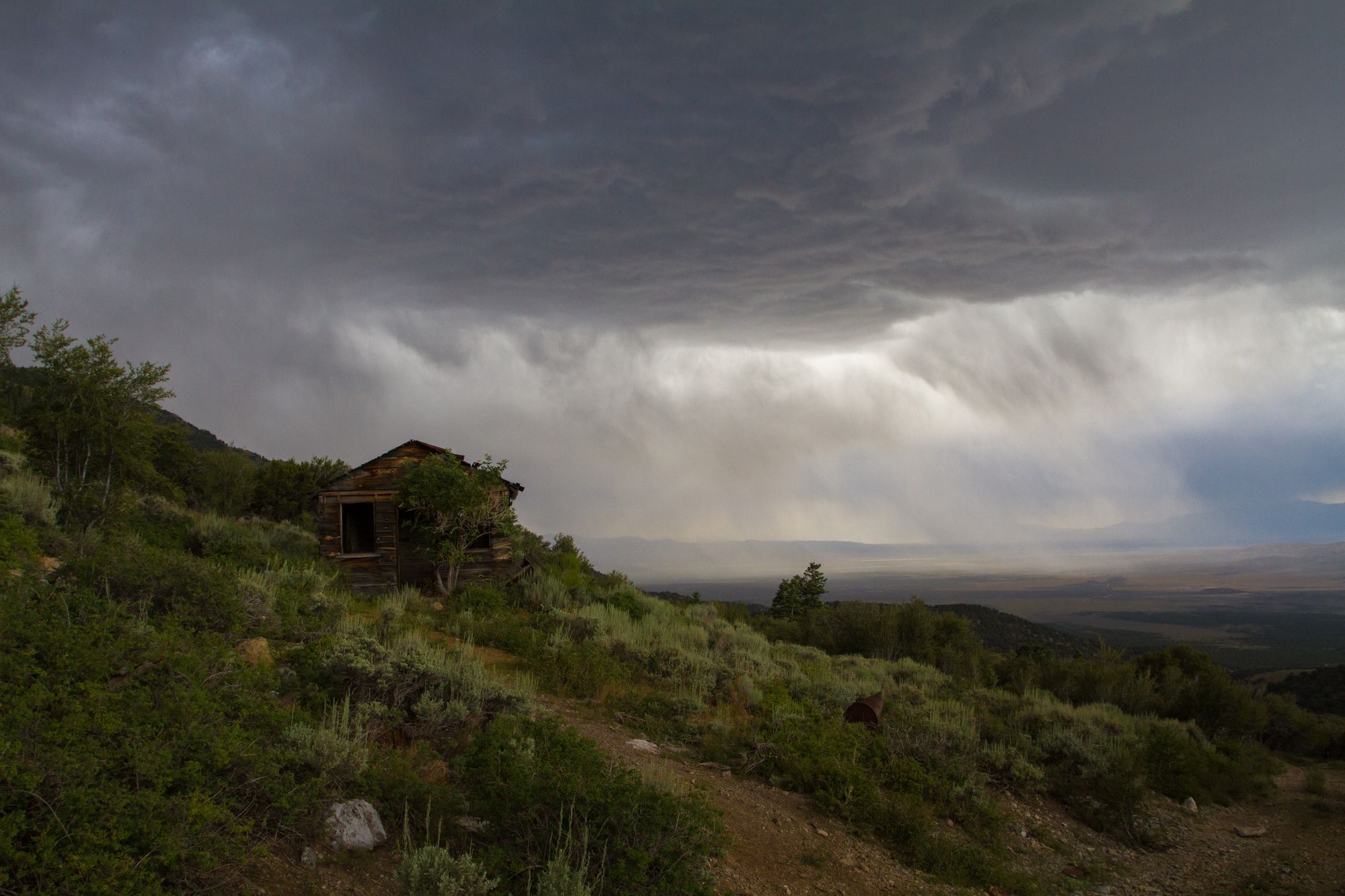
Central Nevada
Central Nevada, including the Toiyabe, Toquima, and Monitor ranges
Eastern Nevada
Eastern Nevada, including Great Basin National Park, the Basin and Range National Monument, and the Ruby and Schell Creek mountain ranges
Southern Nevada
Southern Nevada, including the Desert National Wildlife Refuge, Gold Butte National Monument, Valley of Fire State Park, Red Rock Canyon National Conservation Area, and sections of Lake Mead National Recreation Area
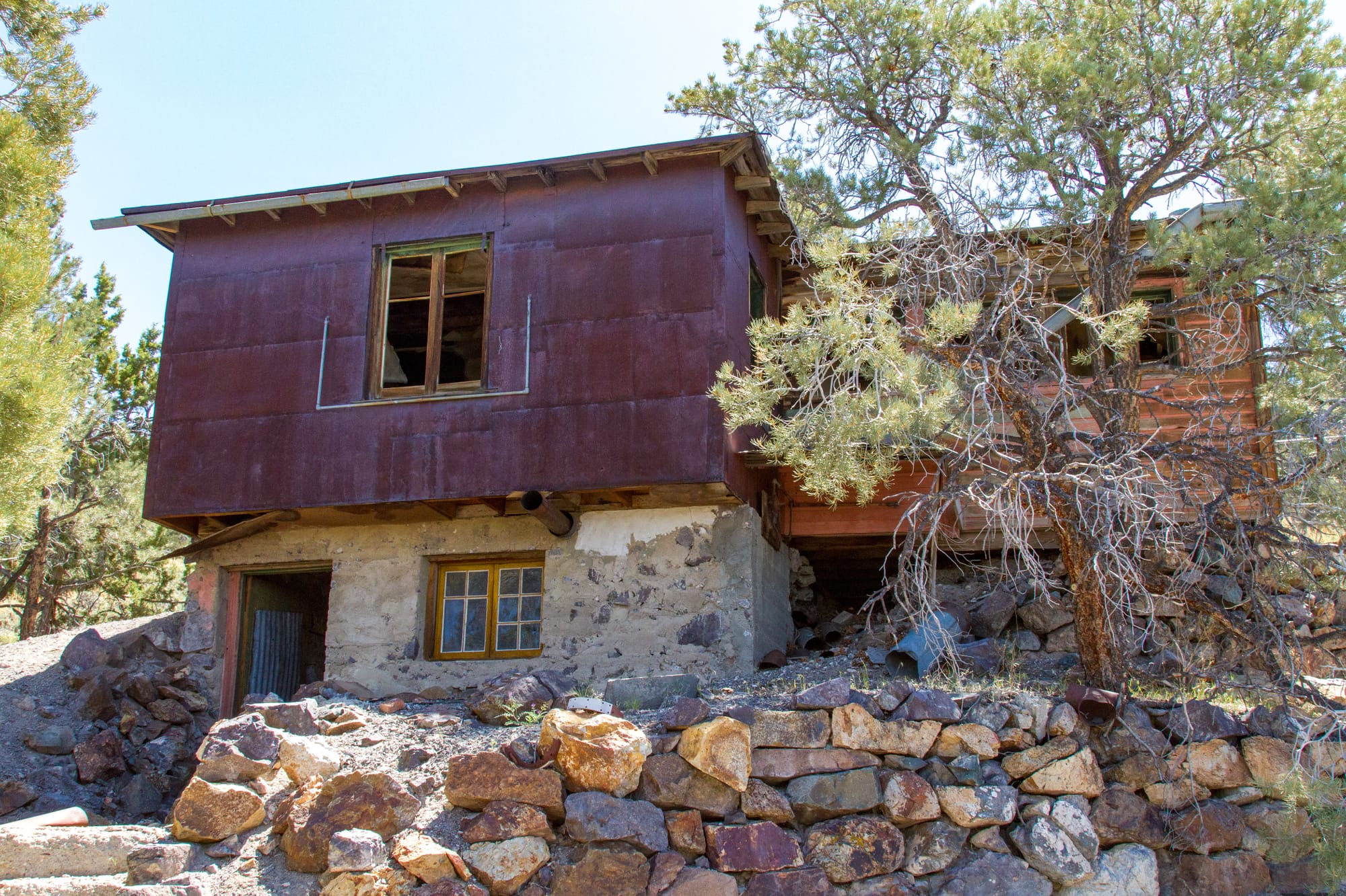
Western Nevada
Western Nevada, including the Silver Peak, Excelsior, Pilot, Gabbs Valley, Virginia, and Pah Rah mountain ranges. Stretching from Esmeralda and Mineral Counties to southern Washoe County
Utah
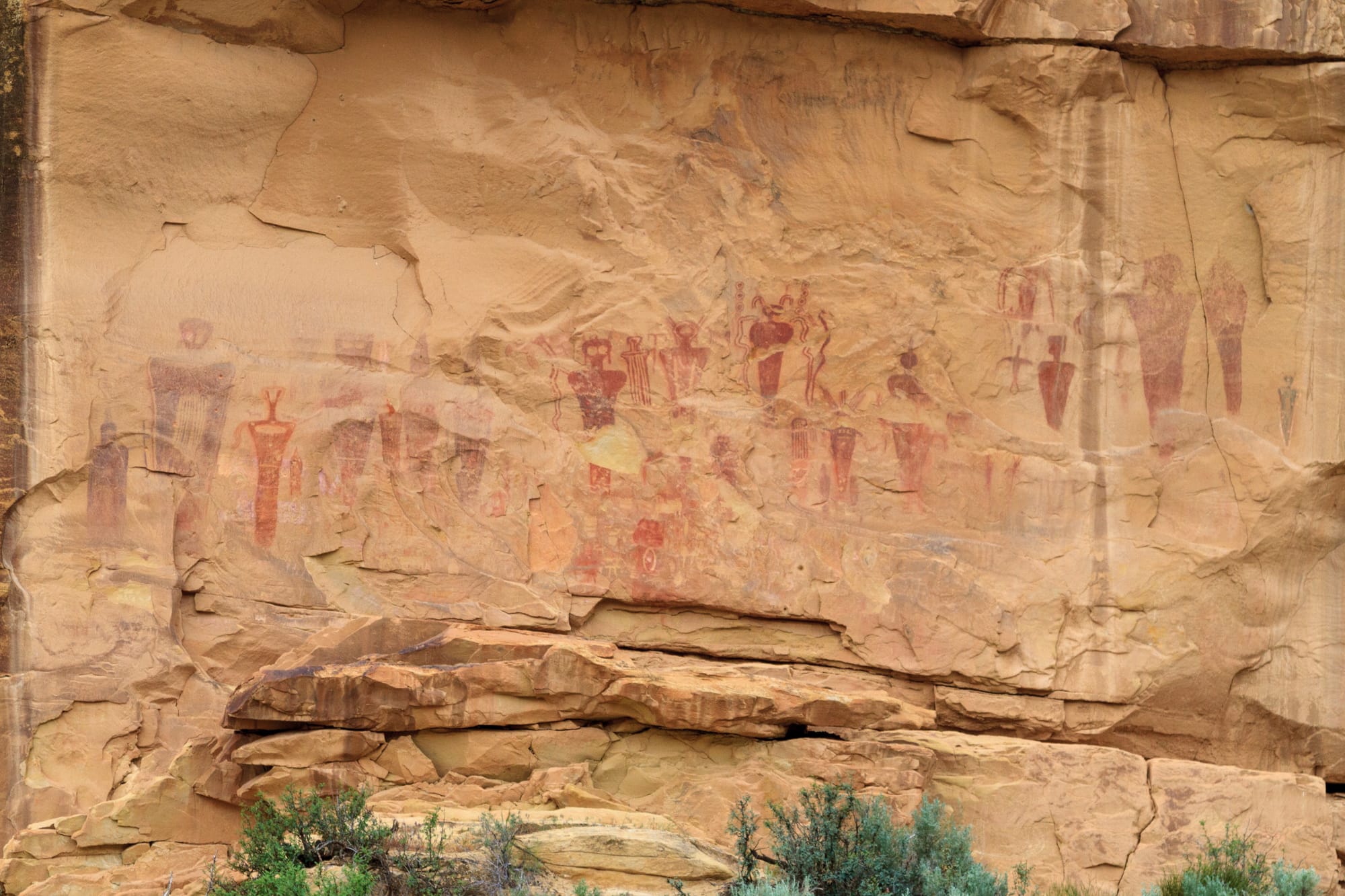
Arches, Canyonlands, and Bears Ears Country
Canyonlands and Arches National Parks, Bears Ears National Monument, and the surrounding country of southeastern Utah
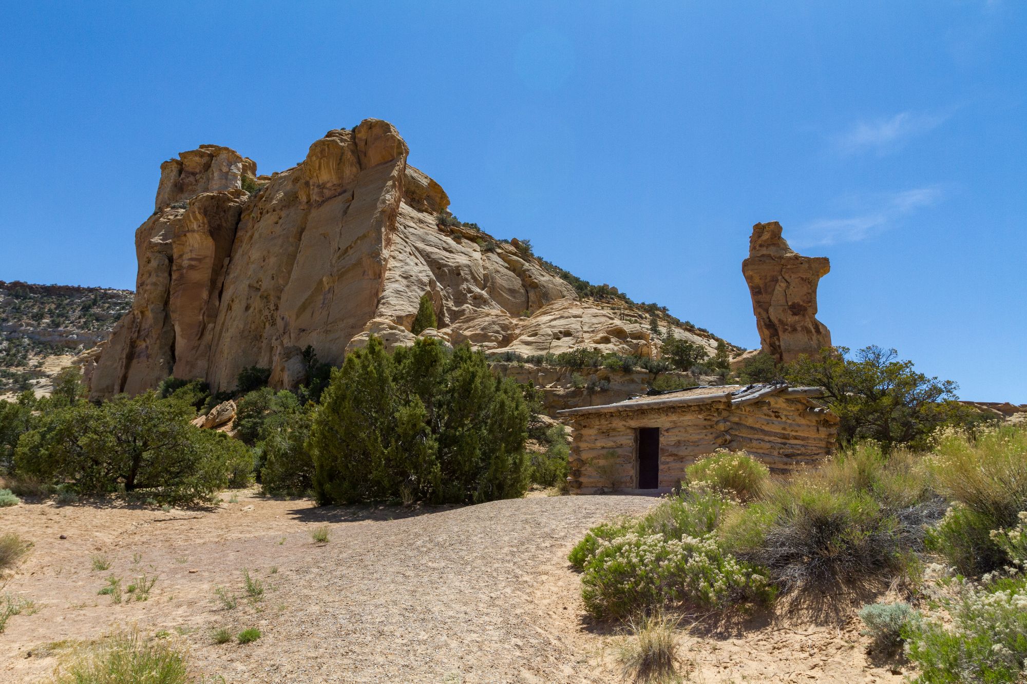
Grand Staircase-Escalante
Grand Staircase-Escalante Country, including Bryce Canyon and parts of Capitol Reef National Parks in Utah
San Rafael Swell
San Rafael Swell Country of Central Utah
Tavaputs Plateau
Tavaputs Plateau Country of eastern Utah
Western Utah Desert
Western Utah Desert west of the I-15 freeway