This is a shuttle hike that goes along the edge of the maze that is the Wonderland of Rocks, and then drops down into Indian Cove. It's not a backcountry hike to an old mine or anything, but I am including it for the completeness of Joshua Tree hikes that I like; plus, it is a nice hike.
And since it is a shuttle hike, you will need to arrange to have a car at the Indian Cove trailhead or someone to pick you up there. Of course, you can always turn back and head back to the Boy Scout Trailhead.
Directions
Getting There
The Boy Scout Trailhead and Backcountry Board is signed as the Keys West trailhead. To find it, go 2.4 miles west of the Hidden Valley campground or head 0.6 miles east of the Quail Springs picnic area. There is a large gravel parking lot here.
The Hike
Hike: Moderately Strenuous 8 miles shuttle, 274 ft gain one-way. 3 hours
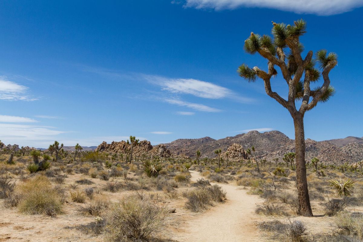
This trail is well-signed and relatively easy to navigate, but it wouldn’t hurt to use my GPS route. The sign at the trailhead says it is 7.7 miles out to Indian Cove, but I measured it as eight miles even. Start on the obvious trail to the north. The trail is flat, cutting across open Joshua tree woodland for the first three miles. This is pretty easy going. At 1.2 miles, you will come to a trail junction. The right fork follows an old road to Willow Hole. Continue on the left fork.
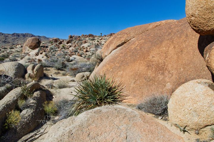
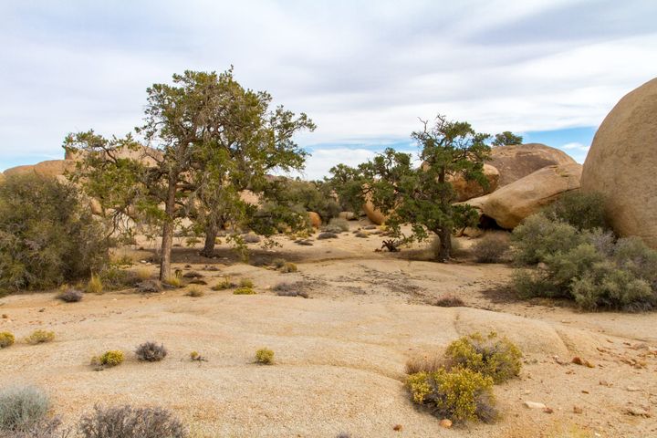
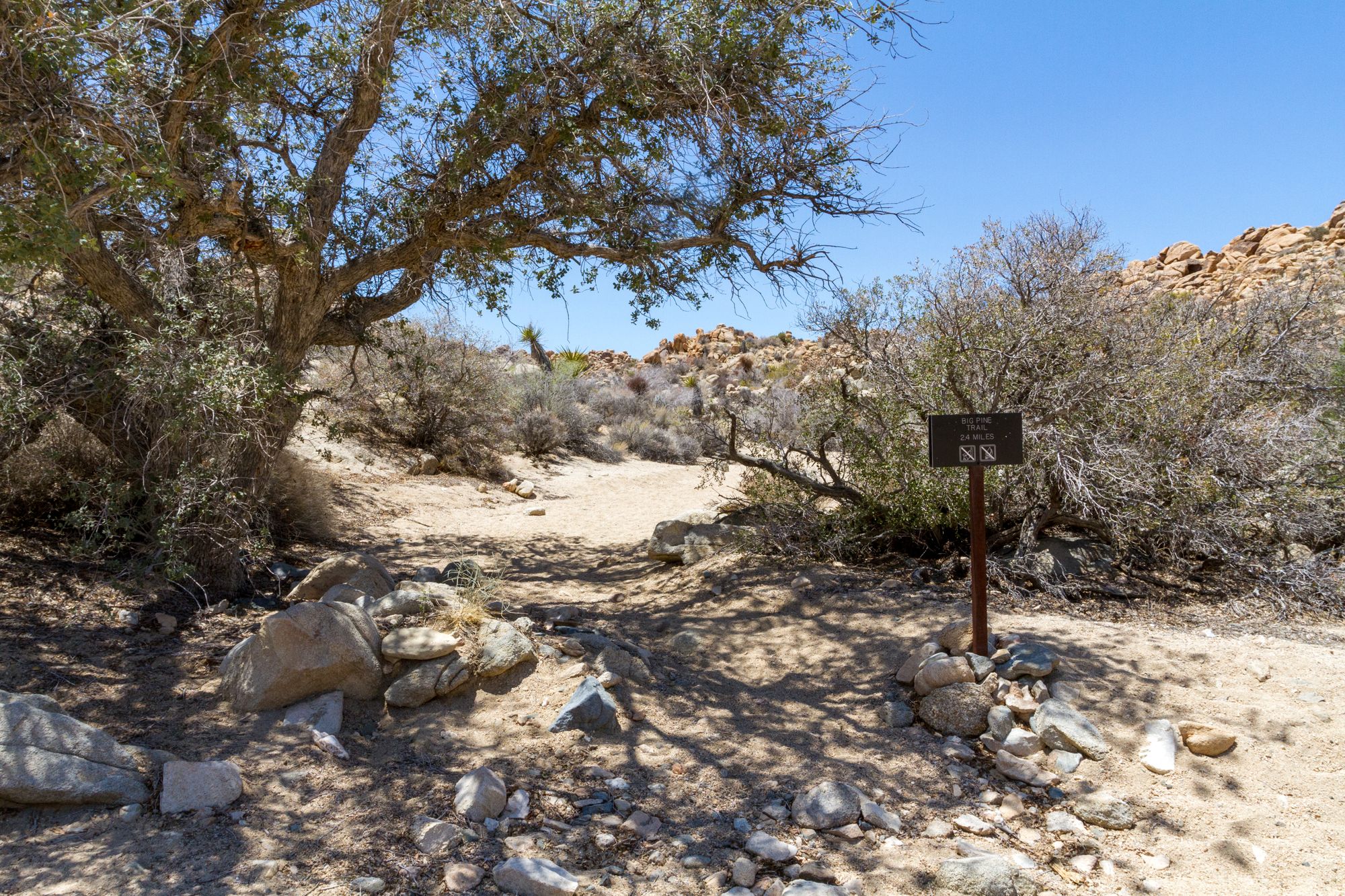
After 2.3 miles of remarkably flat terrain, you will enter a set of low granite hills. The trail meanders through these hills and enters a sandy wash. The trail generally stays in the wash downhill, but watch for signs where it occasionally leaves the wash, as it does in a couple of places, to avoid rocky dryfalls. After 3.8 miles, another wash enters from the west. The Big Pine trail heads up this wash to the West Entrance. Continue downstream in our wash. Oaks, pinyon pine, juniper, and Joshua trees become more frequent but are still recovering from wildfires that passed through here many years ago.
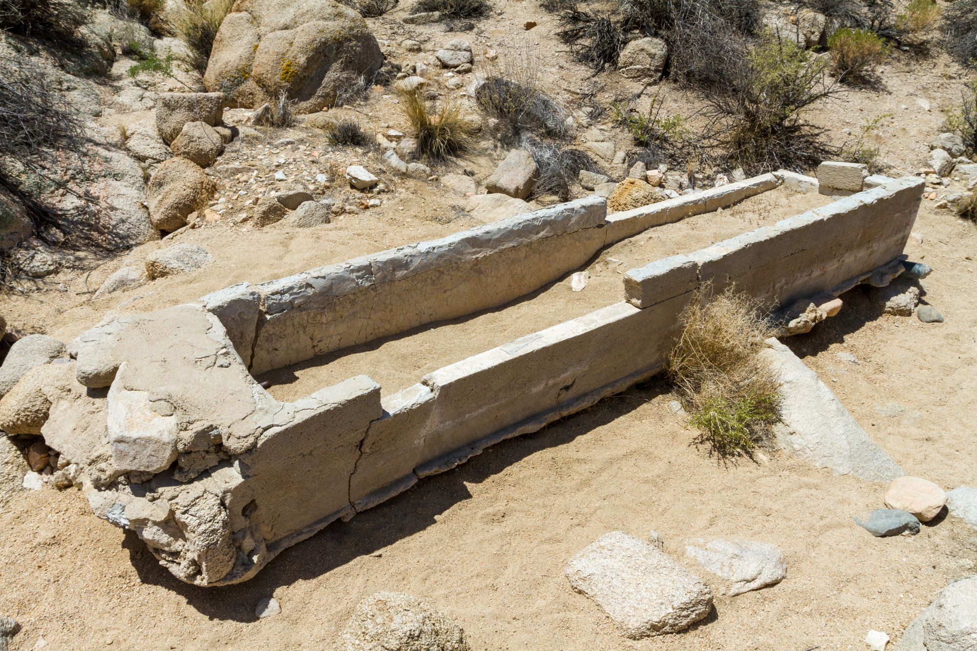
At a distance of four miles from the trailhead, there is an old water trough and a small concrete dam (34.09161°, -116.19524°) abandoned in the wash. It is hard to believe that cattle could have been brought down here or that it would have been worthwhile in this arid land. In the past, the area was wetter, and ranchers would have done so. Bill Keys constructed this trail for the Boy Scouts to attract more visitors to the Monument. It is possible, even likely, that he built the trough to supply water for horses during the hike.
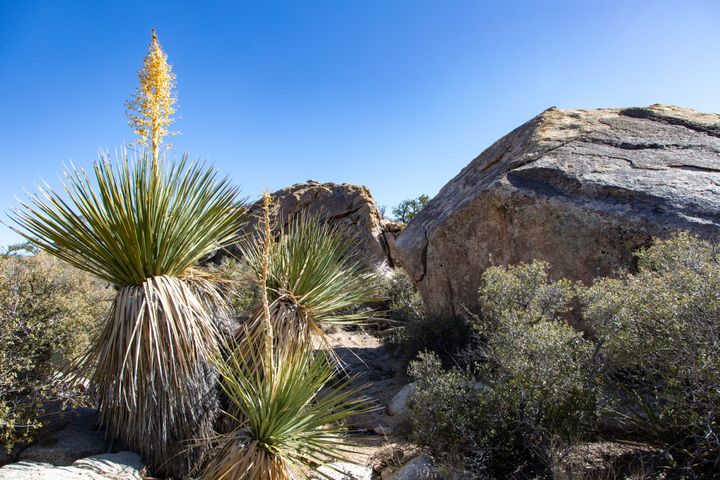
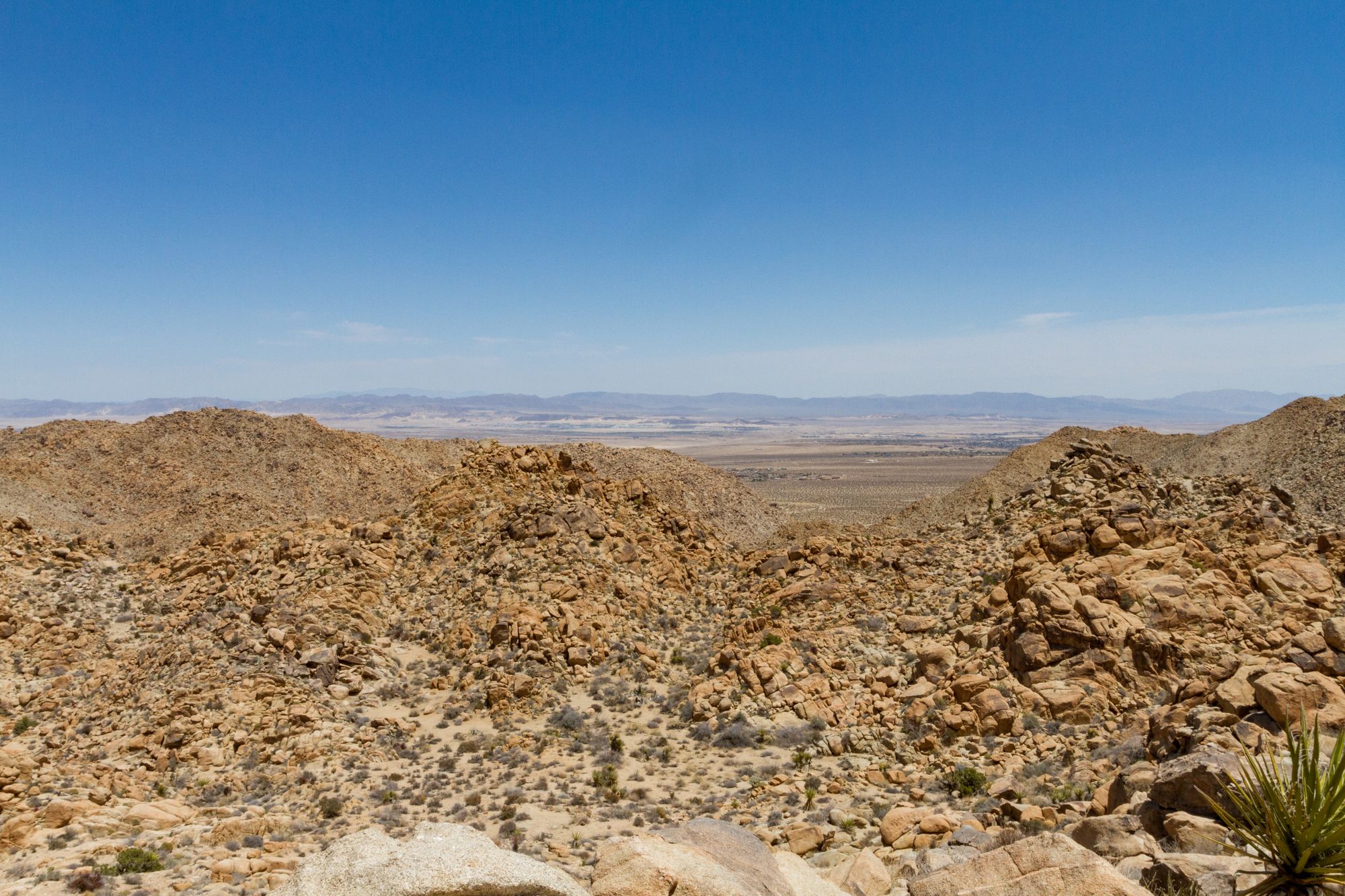
From here, the wash cuts more profoundly into the granite of the White Tank formation, and 0.2 miles farther along the trail leaves the wash on the left. The trail traverses across the hillside and comes to an excellent viewpoint (the best along the trail).
After going around a small bowl, the trail drops down the face of a hill, and you enter a set of tight switchbacks before dropping into another canyon. Follow this canyon downstream. It turns to the east and drops you into the alluvium of Indian Cove. Once on the flat, the trail quickly leaves the broad sandy wash and beelines directly to the small trailhead along the Indian Cove Road.
I hope you have a car waiting for you here; otherwise, it will be a long and strenuous walk back. To be more specific, if you head back to the Boy Scout trailhead, you can expect to hike 16 miles with a 1,890-foot gain round trip. That should take around seven and a half hours.
Map
GPS Waypoints
- Boy Scout Trailhead: 34.04116°, -116.18568°
- Old Cattle Trough: 34.09161°, -116.19524°
- Indian Cove Trailhead: 34.11315°, -116.15564°