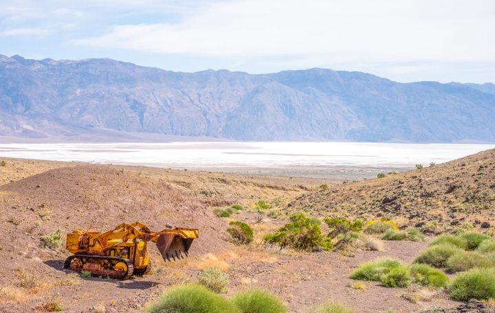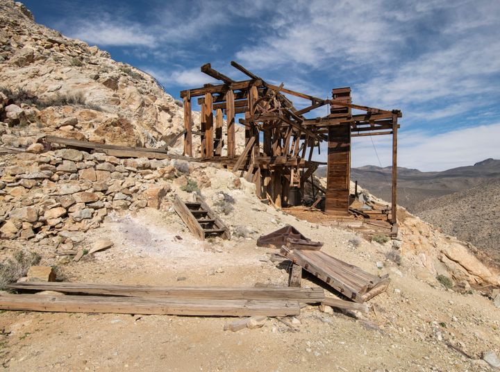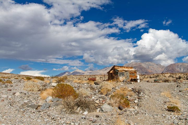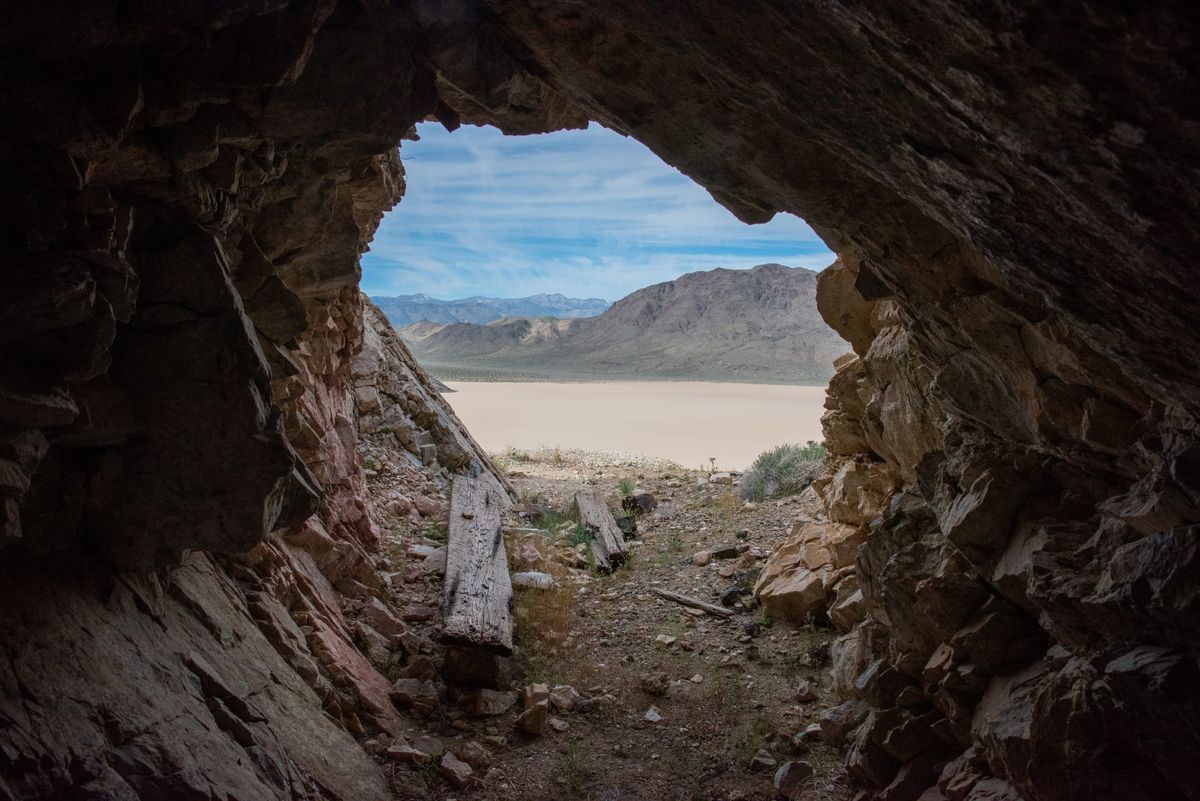
Unknown to most people, there used to be a mining camp at the southeast corner of the Racetrack. A cabin and two enclosed yards belonging to the Sally Ann Mine, sitting on the alluvial fan a mile out across the playa. The Park Service removed the buildings, almost certainly because the only practical way to reach the camp by vehicle was to drive across the Racetrack itself. Little remains beyond a few rusted cans, artifacts, and rectangular rock borders where the buildings once stood.
It is not every day you get to hike across a dry lake to a mine; and the Racetrack to boot! This hike crosses the playa, visits the former camp, and zigzags up a steep, very loose trail past a series of prospect holes to the main adit. The view back is worth the climb.
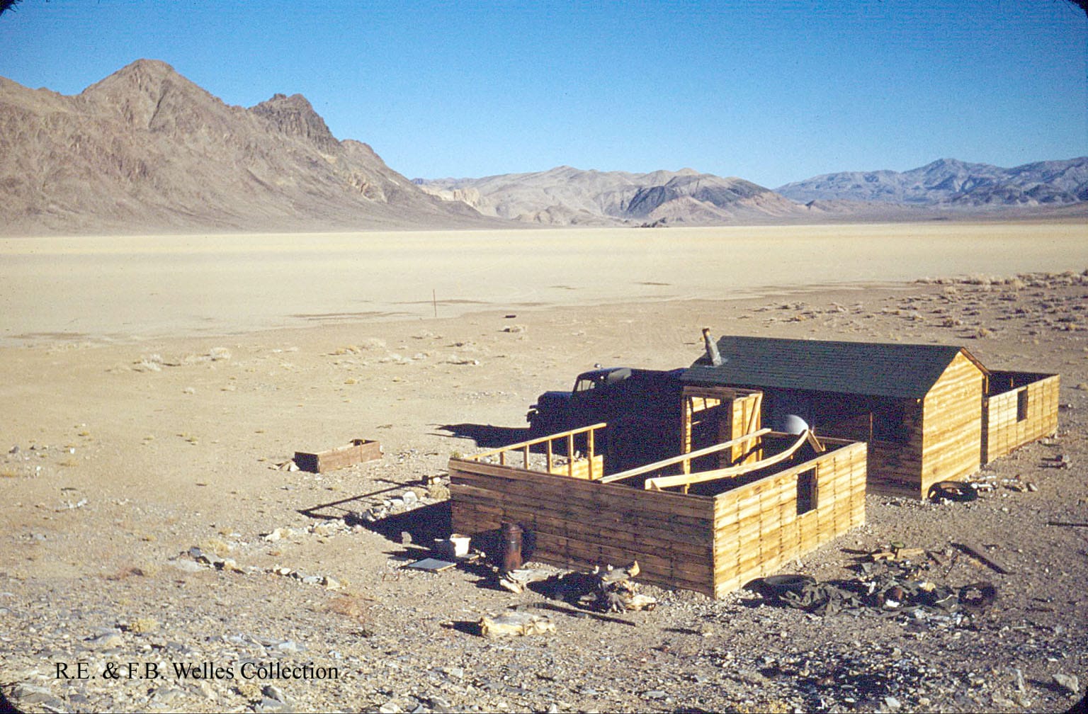
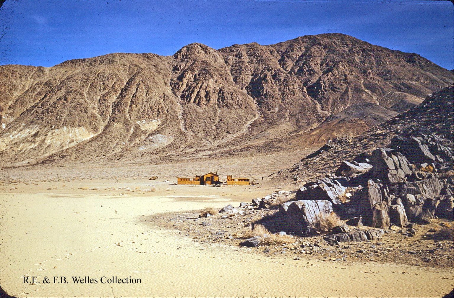
Undated (probably late 1940s) photos of the Sally Ann Mine Camp. Only rock borders remain today. Photos courtesy of GM from the Ralph Welles Collection. Used with permission.
History
The deposit was already on prospectors' radar by 1902, when W. T. Grant of Olancha and George McConnell of Independence filed it as the Copper Knife Mine. The state mineralogist's report that year described an outcrop reportedly 800 feet long and ten feet wide, all malachite. The same report said "no development." Grant and McConnell never dug into their claim. They held three more in the Ubehebe district, all clustered around Dodd Spring's area: the Navajo Chief, the Trail, and the Dodd's Springs Claim.
In late 1947, James Arnold, Orval Huffman, and Sally Ann Smith of Compton, California, restaked the same ground as five new lode claims and named the property after Smith. The workings became Sally Ann Nos. 1 through 5. What Smith brought to the partnership is not recorded. Maybe Arnold and Huffman just named the mine after her and cut her in. The sources don't say.
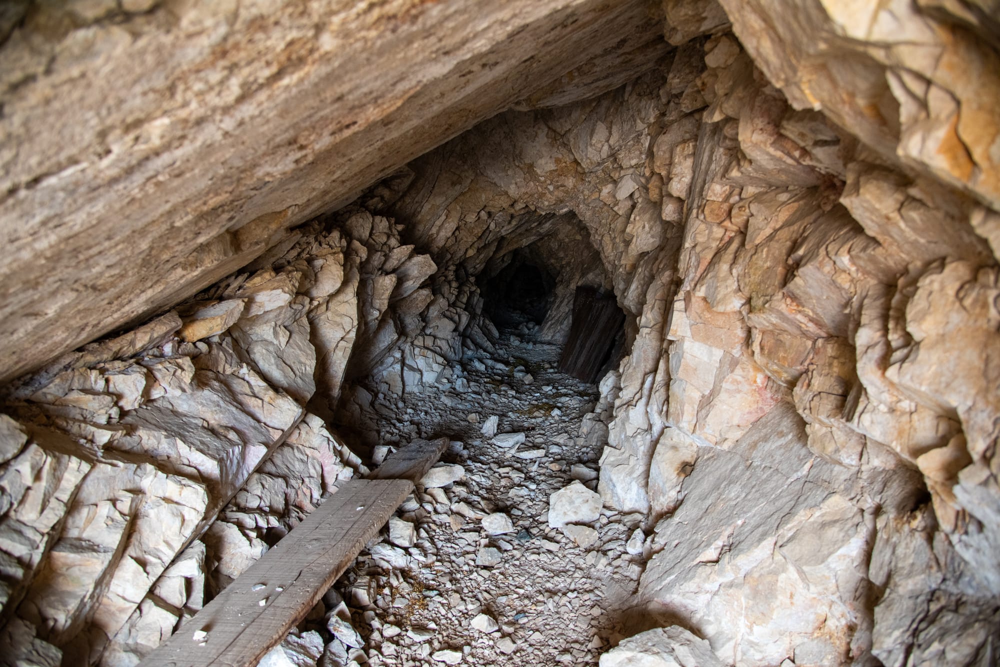
Arnold and Huffman did the field work. They built a cabin and two enclosed work yards on the alluvial fan at the southeast corner of the Racetrack. With no available water within walking distance, they hauled it in by truck from Goldbelt Spring, roughly twenty-three miles away by road. They drove a 117-foot adit into the hillside about sixty-five feet below the best surface copper outcrop, hoping to undercut the deposit and intercept a larger vein at depth. The lower prospects never got past a few trenches and shallow pits. Eight months after they had started, by mid-1948, the partners gave up.
A year after the partners gave up, USGS geologist E. M. Mackevett walked the property and wrote a preliminary report on the deposit. The samples ranged widely in copper content, with traces of gold, silver, and lead. The high-grade pockets turned out to be too small and too scattered to ship. No production was ever recorded.
Also see the nearby Inyo Copper, Copper Queen, and Lost Burro Mines.