GPS Only
These trips have GPS waypoints (but not detailed directions). GPS waypoints are limited to paid subscribers. GPS coordinates are in Degrees unless otherwise stated. WGS84 Datum.
Be sure to scroll down to load all of the posts.
243 posts
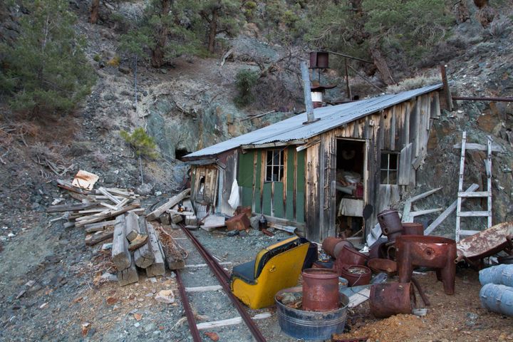
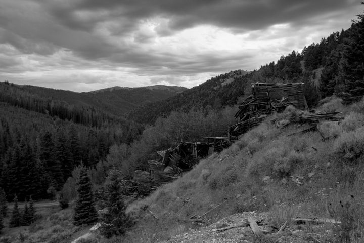
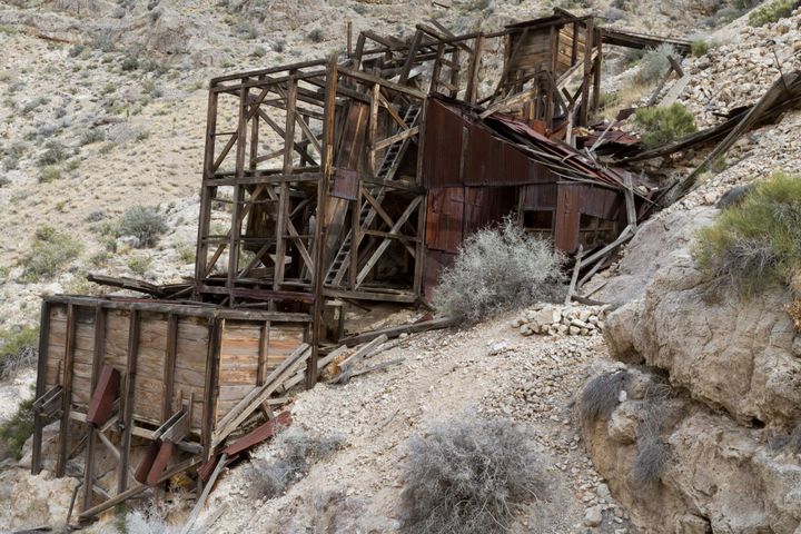
Silver Divide Mine
I couldn’t find any information about this little mine, and I was surprised by what was left when I hiked up to it. It is an interesting little spot in Western Nevada.
The place consists of a ruined workshop-cabin combination next to a short adit.
I need to
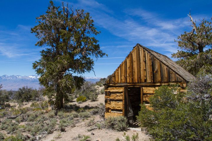
Silver Canyon Cabin
In the summer of 2014, at the end of an exploration trip in the White Mountains of eastern California, we decided to take a little side trip to a cabin I had heard about. From what scarce history I could find on the place, there didn’t seem to be
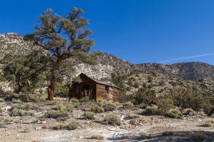
Sandstone Eagle Cabin
We stumbled across this remote cabin back in 2010. Like so many cabins I come across, I haven’t been able to find the history of this one. I call it the Sandstone Eagle Cabin because there is a bit of sandstone nearby, which is quite unusual for the area,
New Years Mine
The mine was a minor producer of zinc, lead, silver, and gold. It was first located in 1913 but wasn’t worked until 1915. It was active only for a few short years and idle by 1918.
Poinsettia Mining Camp
Poinsettia was once a cinnabar mine. Reportedly, the mine was worked from 1929 to WWII, but information on it is hard to find, and no production was recorded. It is doubtful much cinnabar was ever mined here. Cinnabar is a primary ore for mercury, which is important in the gold

Harrisburg Flat Cabin
Back on a cool April day in 2013, Dan and I hiked out to a little cabin ruin near Harrisburg Flat in the Death Valley backcountry. (Harrisburg Flat is on the way to the old townsite of Skidoo.) These days, nothing much remains of that town or its former rival,