GPS Only
These trips have GPS waypoints (but not detailed directions). GPS waypoints are limited to paid subscribers. GPS coordinates are in Degrees unless otherwise stated. WGS84 Datum.
Be sure to scroll down to load all of the posts.
242 posts
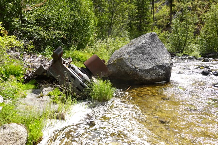
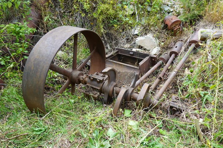
War Eagle Mine (Gospel Hump)
Burham Canyon Pictographs
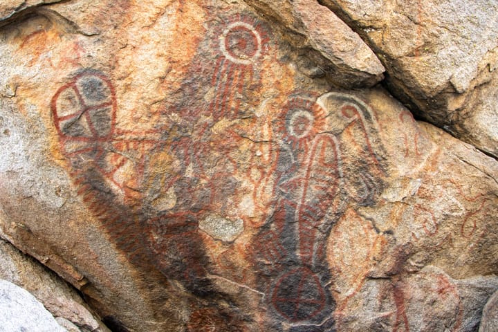
Two things make Burham Canyon remarkable: the vibrant pictographs painted in red, white, black, orange, and traces of blue, and the fact that women from three different tribes traveled here specifically for childbirth. The Kitanemuk considered it home territory, but Kawaiisu women came from the northeast and Tataviam from the
Pocketed Rocks Petroglyphs
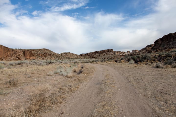
Unlike the dramatic canyon walls at White River Narrows a few miles away, the rock art at Pocketed Rocks requires more careful exploration. The petroglyphs are more scattered here and, more interestingly, on unusual volcanic tuff formations surrounding tinajas (natural rock basins).
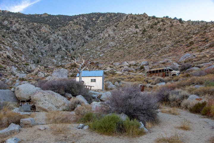
Emmett's Lone Tree Cabin
Peter B. Kyne's Hideout
Cottontail Petroglyphs
Just a few miles south of fabulous Las Vegas, Nevada, the Cottontail Petroglyphs are two adjacent sites at either end of an Aztec sandstone bluff. The site consists primarily of abstract symbols with some representational symbols of bighorn sheep.