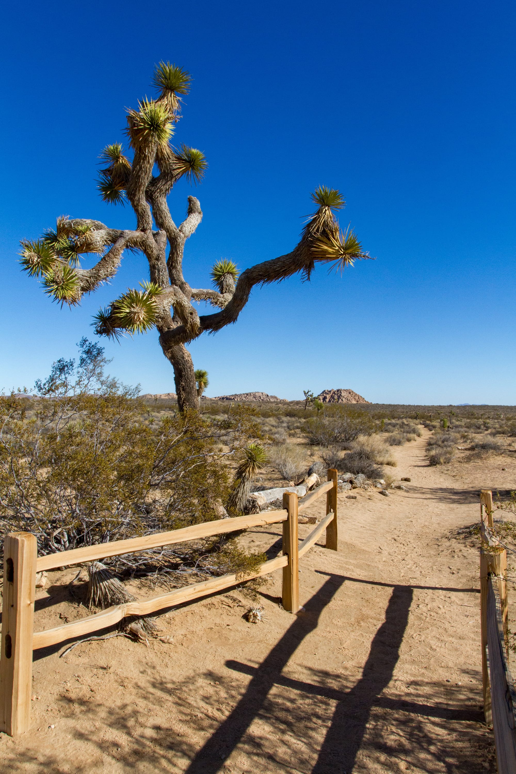
The California Riding and Hiking Trail was part of an ambitious 1940s California State Parks project to create a statewide trail network. Due to land ownership issues, it was never completed. However, the sections within Joshua Tree are complete and provide an excellent opportunity for experienced hikers to explore the park's vast scenic backcountry and do some backcountry camping if desired.
The trail is divided into five sections, which I've called A through E. I've focused on the three middle sections (B, C, and D) because they have the most wilderness character and make up the heart of the trail. These sections run from the Covington Flat Trailhead to Juniper Flat Trailhead (Section B), Juniper Flat Trailhead to Geology Tour Trailhead (Section C), and Geology Tour Trailhead to Twin Tanks Trailhead (Section D). Together, these sections total nearly 22 miles of the trail's full 35-mile length, making it the longest trail in the park. These trips are all one-way shuttle hikes requiring a car to pick you up at each trailhead.
These sections can be done in a single day, but I wouldn't recommend that. Instead, it should be done in two days: Covington Flat to Juniper Flat (Section B) on the first day (with an overnight stay at Ryan Campground, in the backcountry, or even in town), then hike from Juniper Flat to Geology Flat and continue to Twin Tanks (Sections C and D) on the second day. White Tanks Campground is near Twin Tanks, or you could camp in the backcountry (or town). Remember to check with the park for current backcountry permits and conditions. There are no reliable water sources along the trail, so bring plenty of water — at least a gallon per person per day and more in hot weather.
Directions
Overall Trail
- Hike: Very Strenuous 22 miles, 1,800 ft gain, one-way shuttle. 9 to 10 hours.
Section B - Covington Flat to Juniper Flat
Getting There
To reach the trailhead at the Covington Flat Backcountry Board (in Upper Covington Flat), head east on Highway 62 from downtown Yucca Valley, at the intersection of Highway 62 and Highway 247, for 2.7 miles to La Contenta Road, and turn right (south).
The Road
Road: 11.4 miles, High Clearance
After a mile, La Contenta crosses Yucca Trail and becomes a graded dirt road. Continue on it and watch your odometer. The road travels through a residential area for 1.8 miles and then curves southeast toward Covington Flat. Follow the road to a junction at 7.7 miles, where a spur road heads over to a picnic area. Turn right at this intersection. At 9.5 miles, the road forks. Follow the left fork to the Upper Covington Flat Backcountry Board. There is parking for about a half dozen cars.
The Hike
Hike: Strenuous 11.1 miles shuttle, 1,285 ft gain one-way. 4 to 5 hours
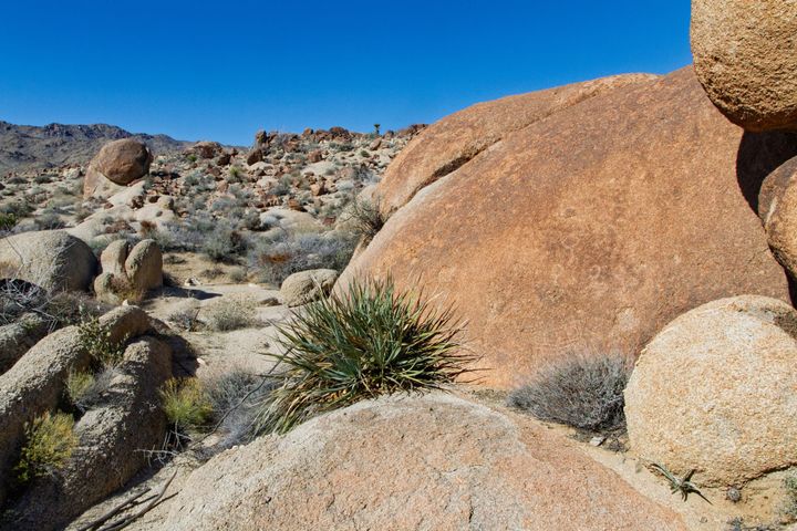
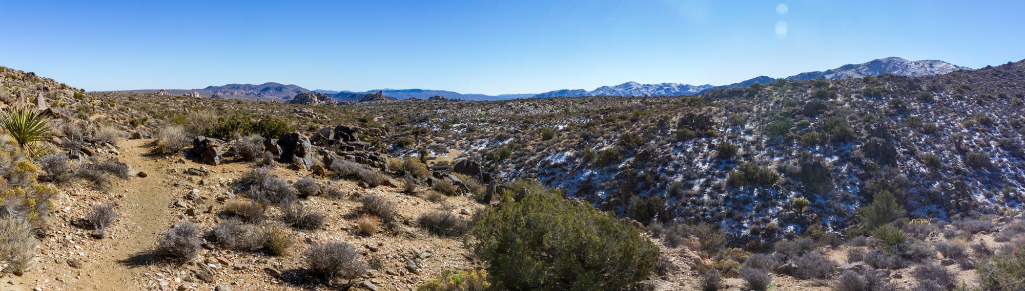
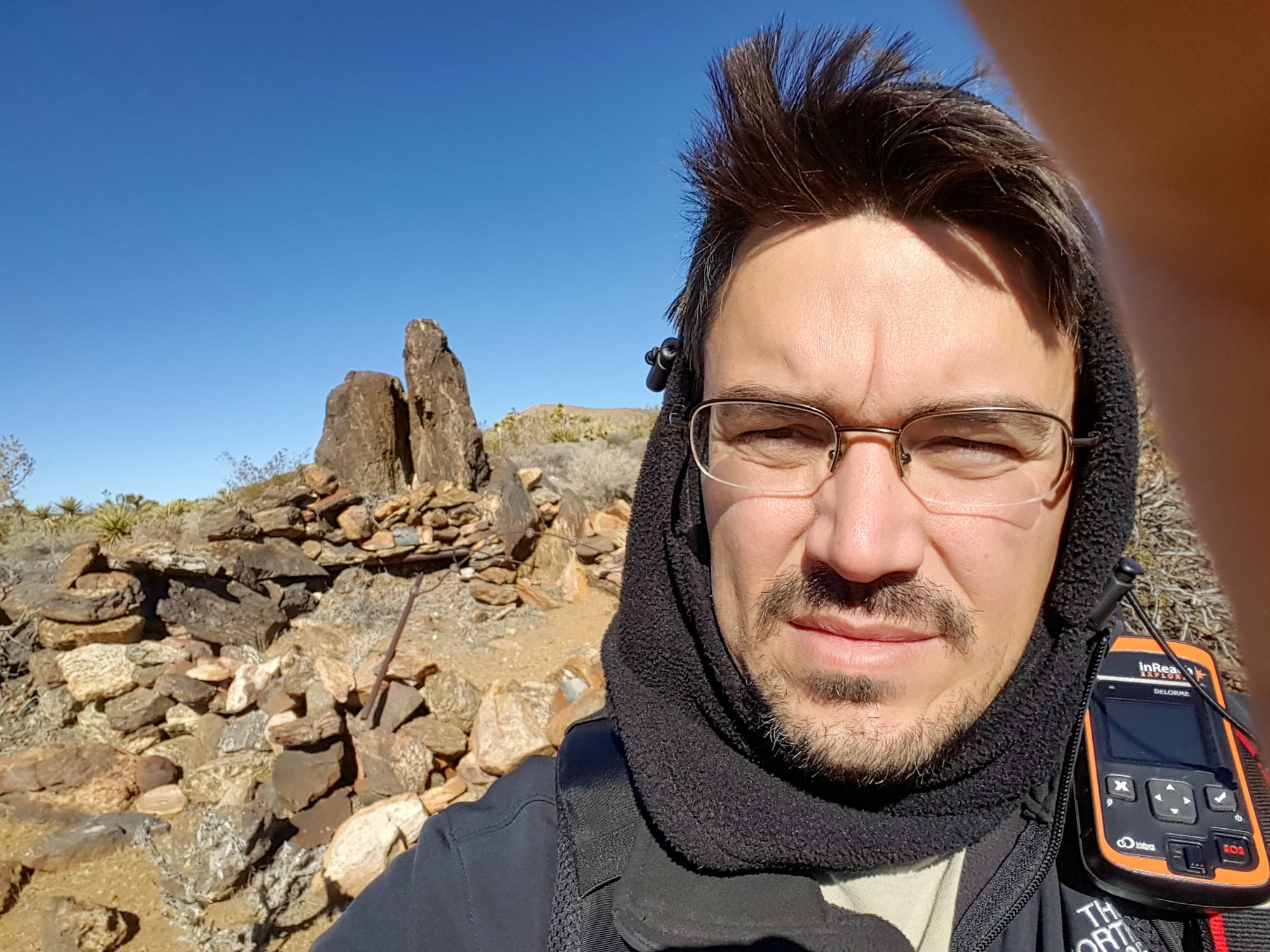
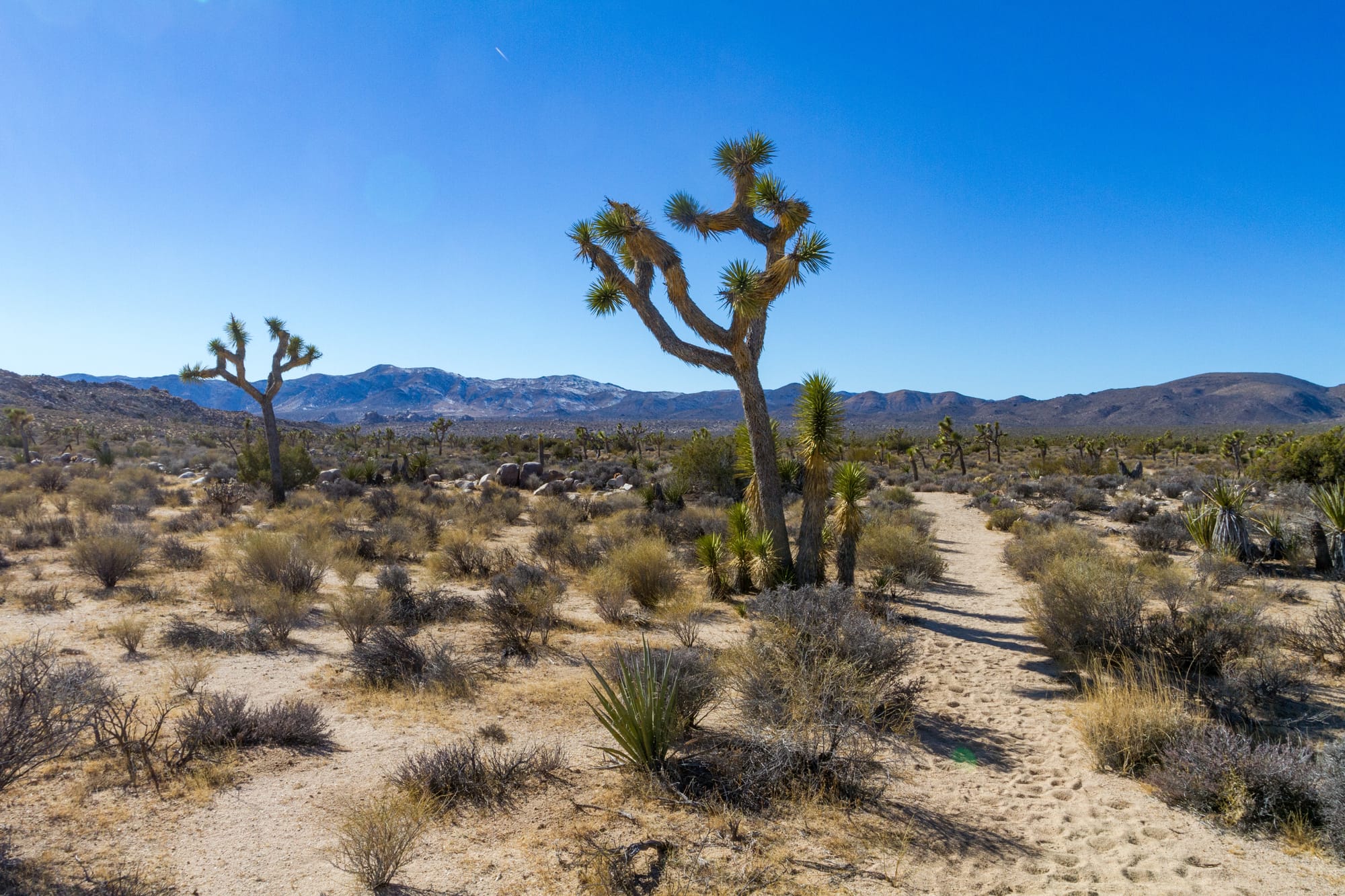
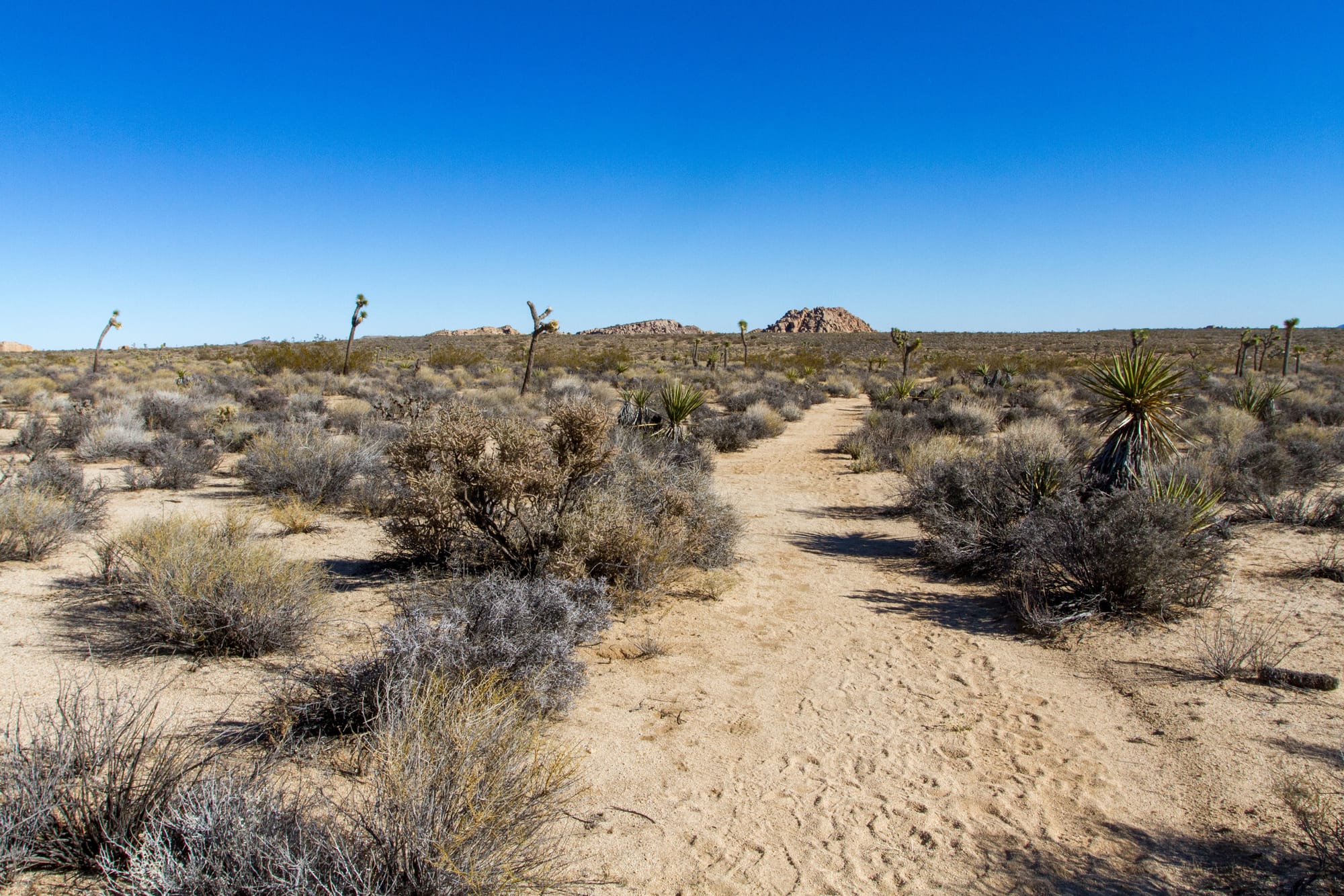
This challenging section is perfect for a full-day hike. It immerses you in the park's untamed beauty and wilderness, transitioning from pinyon-juniper woodlands to open desert flats. It's unlikely you will see anyone else on the trail for the first six miles. The trail begins by winding through pinyon- and juniper-covered hills and then drops down into the upper reaches of a little valley. Most of the geology here is granitic granodiorite or quartz diorite from the Cretaceous era. At 1.6 miles in, you will pass a trail junction, which heads down to the Lower Covington Trailhead, but you will want to continue straight ahead on our trail, which climbs the rest of the valley to a pass. Quail Mountain (the tallest in the park) looms to the east. The trail then drops 800 feet into a dry, unnamed valley, turns east, and climbs 600 feet back out. At 6.2 miles in, you will emerge onto the Juniper Flats woodland. The trail becomes much easier from here on out.
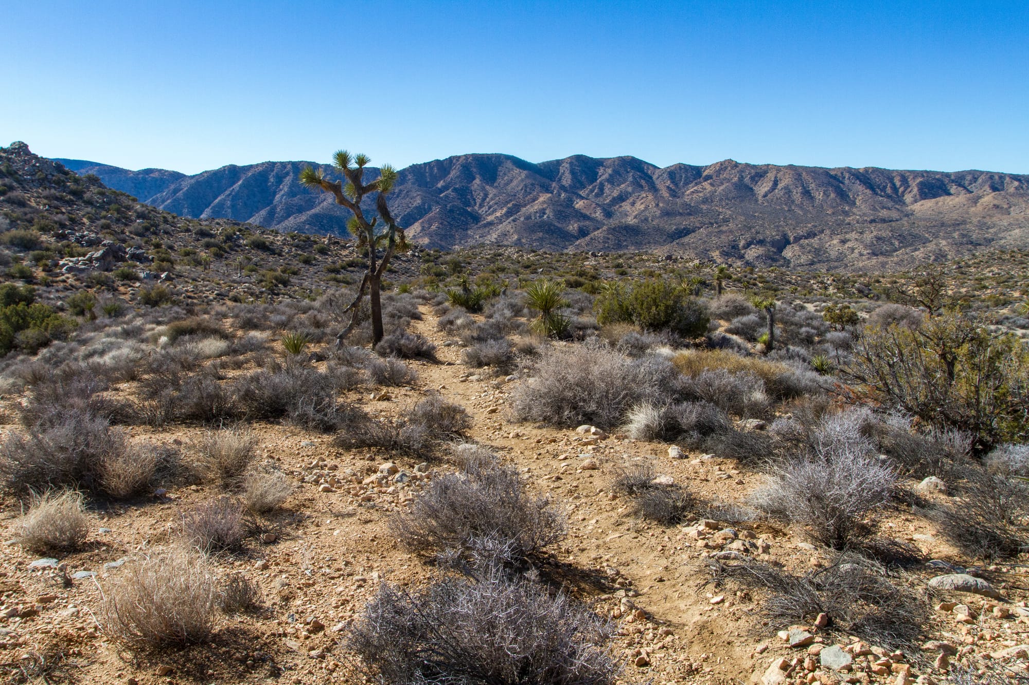
Once on the flat, you will soon cross the old Juniper Flats dirt road. You can actually follow this dirt road (by turning right) to the Juniper Flat trailhead, but our trail offers a more remote and scenic feel. In 0.9 miles (and 7.5 miles from the trailhead), a side trail heads south as part of the Stubbe Spring Loop trail that spurs off of this trail. There is little to no water at Stubbe Spring. Continue on. At 9.4 miles in, you'll cross the other end of that loop trail. From here, it is a quick 1.7 miles through some dark gneiss hills to the Juniper Flat Trailhead.
Section C - Juniper Flat to Geology Tour
Getting There
The Juniper Flat Trailhead and Backcountry Board are on the paved road to Keys View, about a mile south of Cap Rock and 1.3 miles north of the turnoff for the Lost Horse Mine. The gravel parking lot has enough room for over a dozen vehicles.
The Hike
Hike: Moderate 6.4 miles shuttle, 469 ft gain one-way. 3 hours
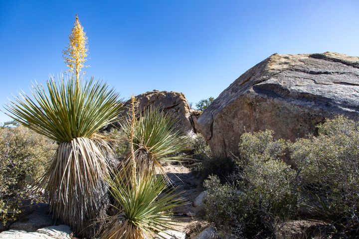
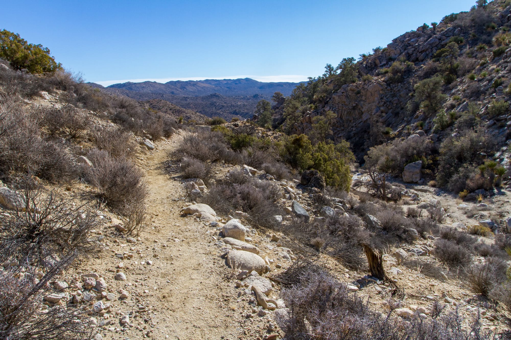
The trail heads east across the flat desert and touches the very southern tip of Ryan Campground in 0.7 miles. (This makes for a great starting point if you are camping.) From here, the trail climbs up a broad canyon between Ryan Mountain and the Lost Horse Hills. The geology noticeably changes here as you cross into the hills. Dark metamorphic gneiss formations, probably of the Precambrian era, predominate, with a few outcrop spires of White Tank quartz monzonite (like those seen at Ryan Campground). As the trail begins to climb, at 1.26 miles in, watch for the remains of the pipeline that once carried water from Lost Horse Well to the Lost Horse Mine.
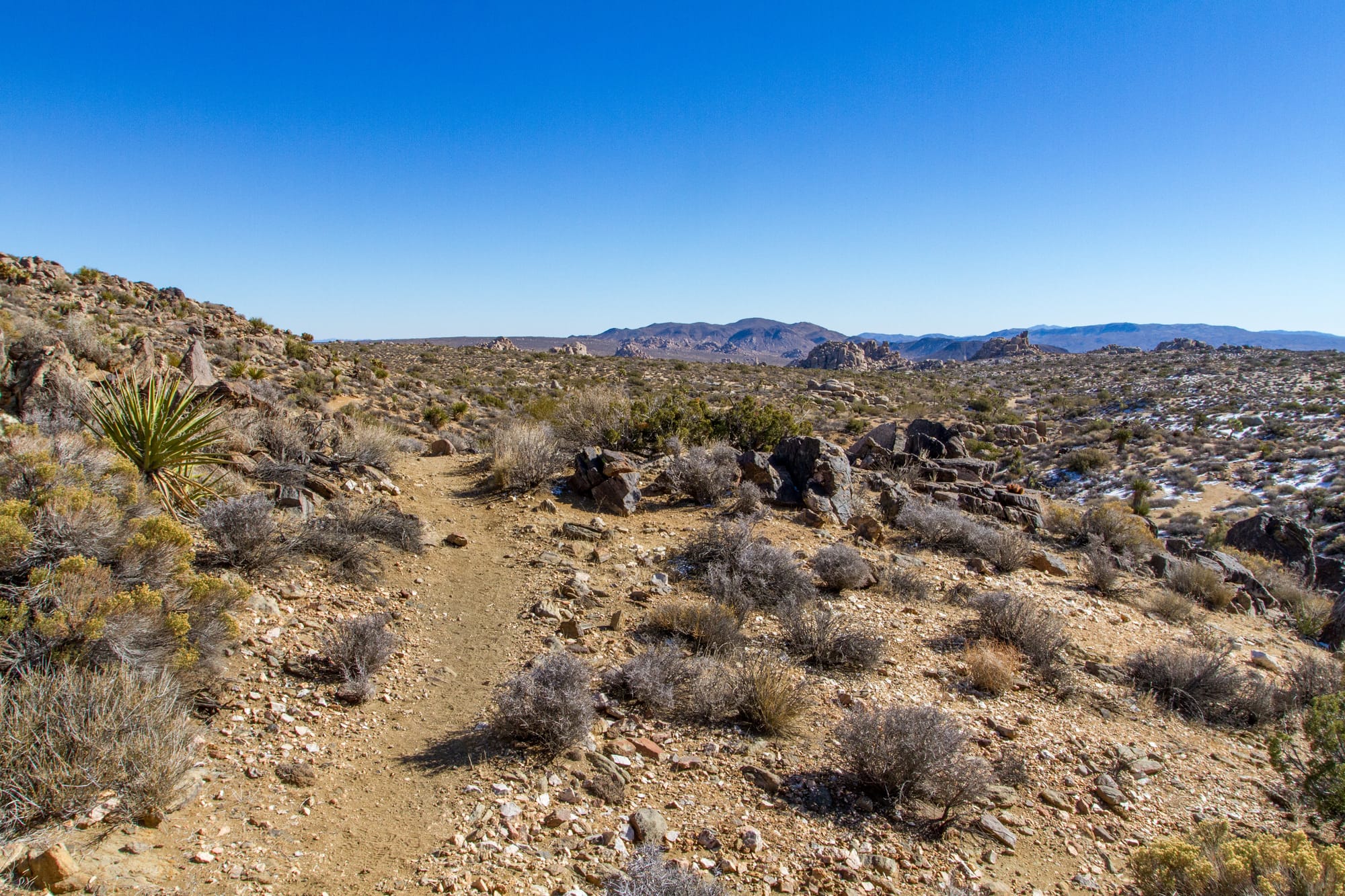
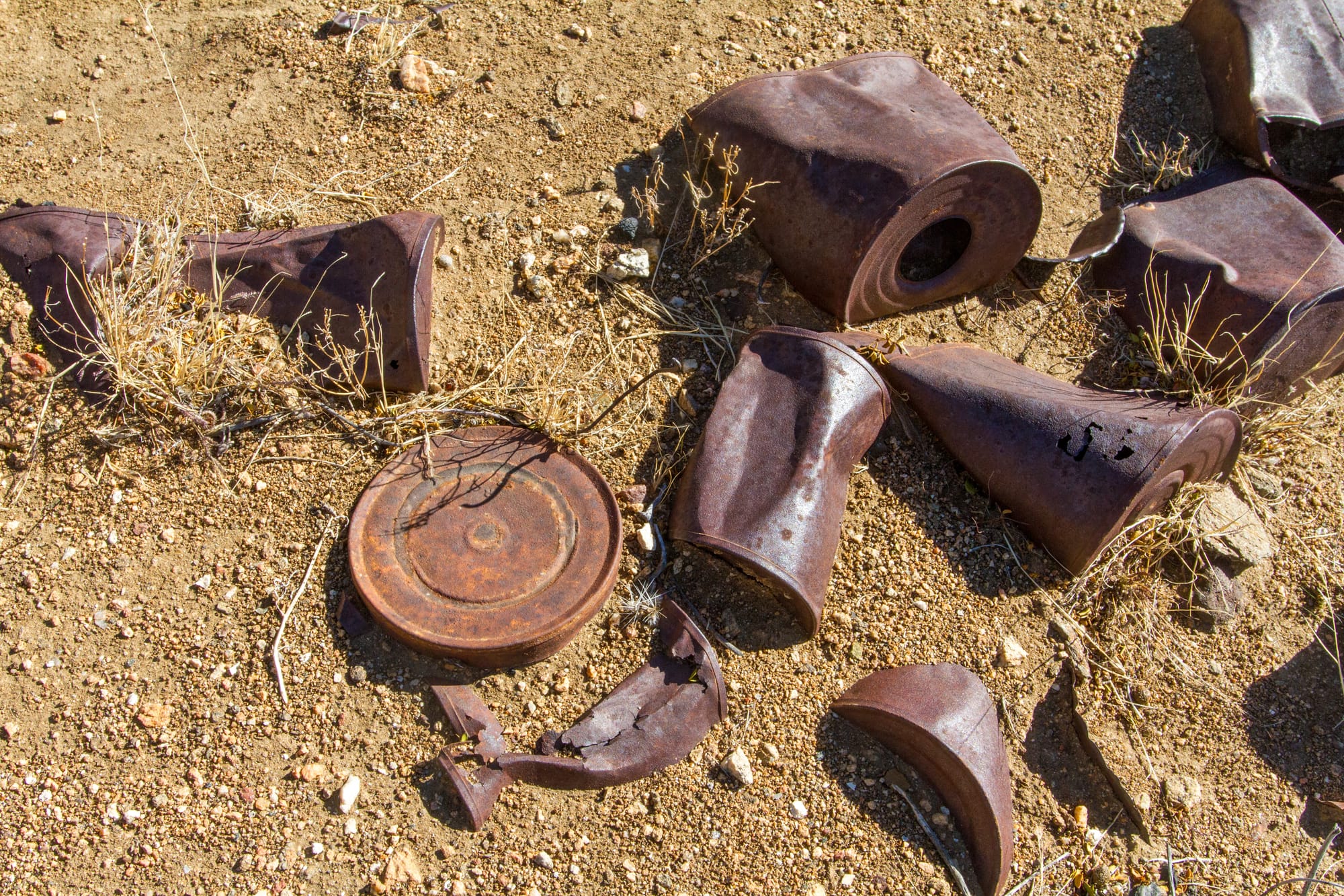
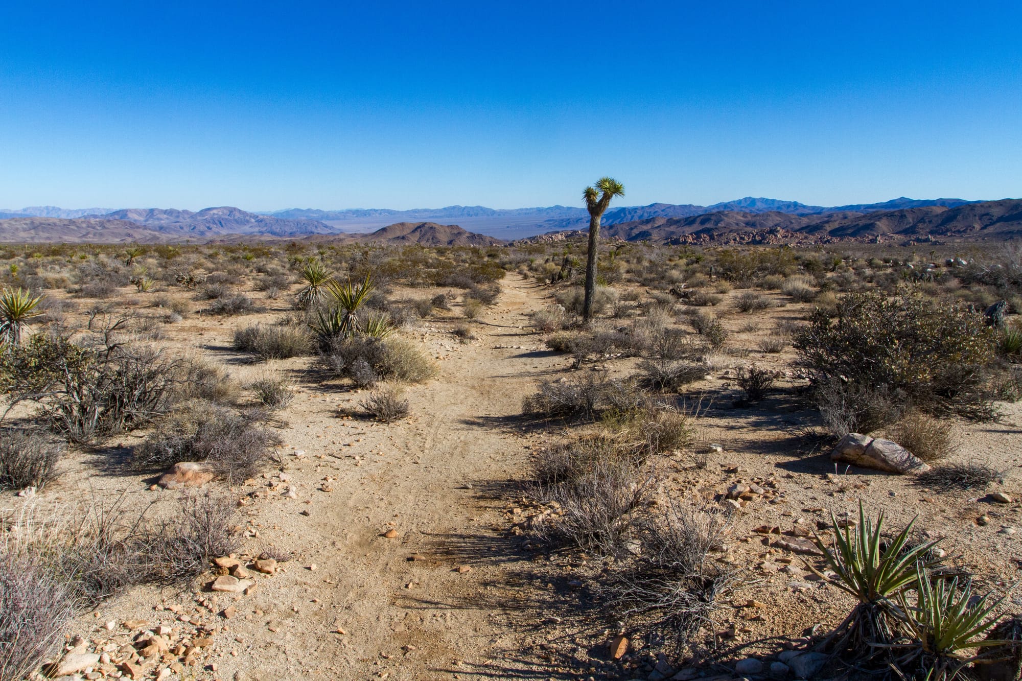
At 2.5 miles in, the trail crests a scenic low pass and drops by an old stone cabin ruin. Which prospector lived here has been lost to history. The trail winds around the hill and passes another mysterious prospect and cabin site in 0.2 miles before emerging into the more open terrain of Queen Valley. The geology here again changes back to the lighter White Tank granite. In about 1.5 miles, the trail crosses a sandy wash; from this low point, the trail makes a long, slow, and straight 2.2-mile climb to the Geology Tour Trailhead.
Section D - Geology Tour to Twin Tanks
Getting There
Geology Tour Road is off Park Blvd. It is 1.6 miles west of Jumbo Rocks Campground or 6.5 miles west of Hidden Valley. Drive south down the graded dirt Geology Tour road 1.5 miles to the trailhead at the Geology Tour Backcountry Board. There is room for four or five cars.
The Hike
Hike: Moderate 4.4 miles shuttle, 46 ft gain, one-way. 2 hours
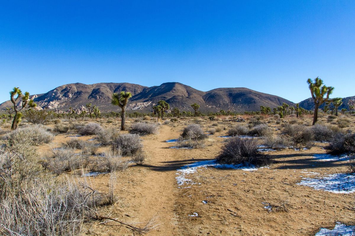
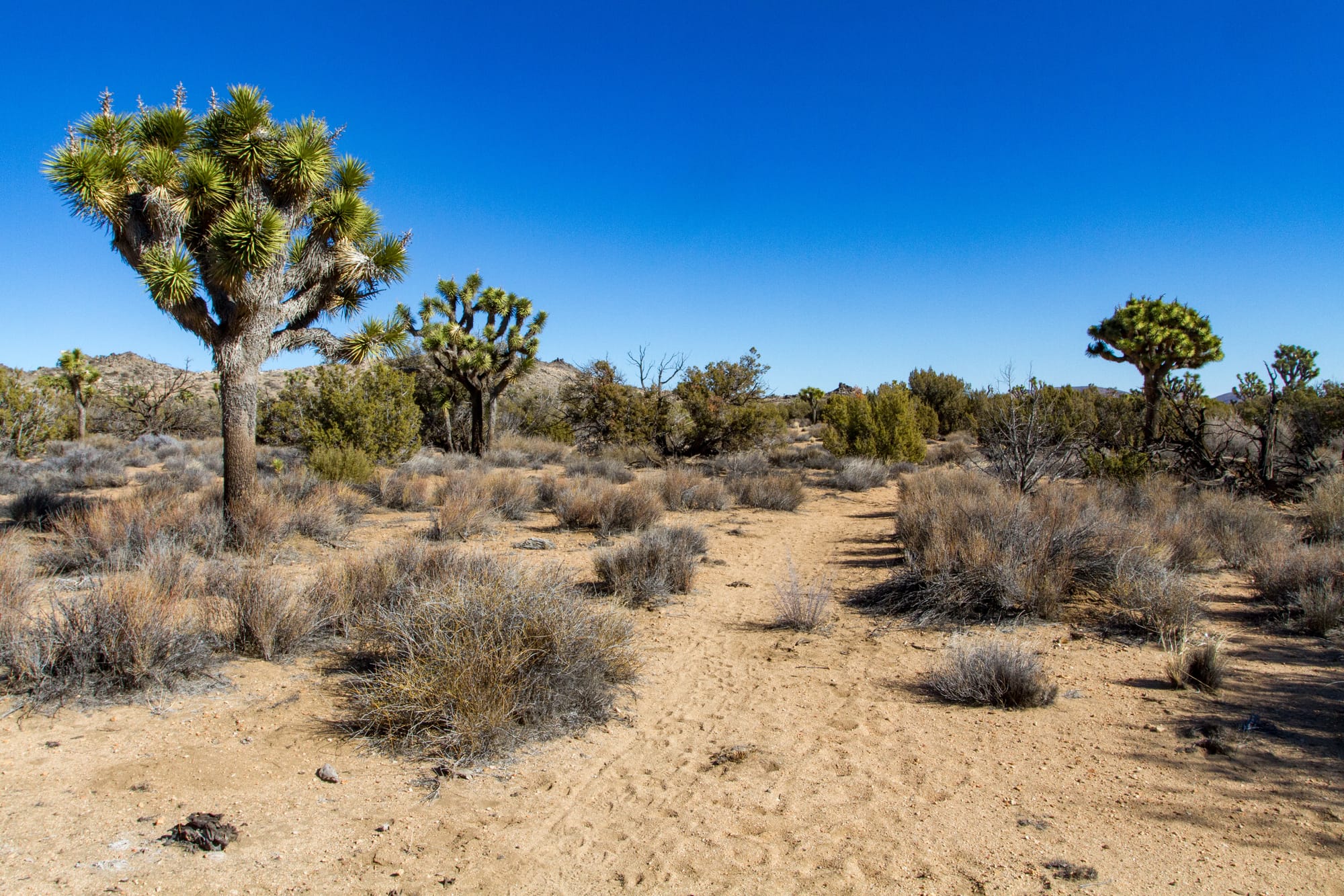
This final section of the hike is by far the easiest of the three trail sections. The trail traverses the vast expanse of Queen Valley, providing views of the wide-open desert vistas as it transitions from the Mojave to the Colorado Desert. The vegetation shifts from Joshua trees and junipers to creosote bushes and cholla cacti. This segment ends at the Twin Tanks Backcountry Board trailhead. White Tank Campground is located just a half mile away.
Map
GPS Waypoints
- Covington Flat Trailhead: 34.00962°, -116.30589°
- Juniper Flat Trailhead: 33.97675°, -116.16509°
- Geology Tour Trailhead: 33.98529°, -116.08208°
- Twin Tanks Trailhead: 33.98953°, -116.02293°