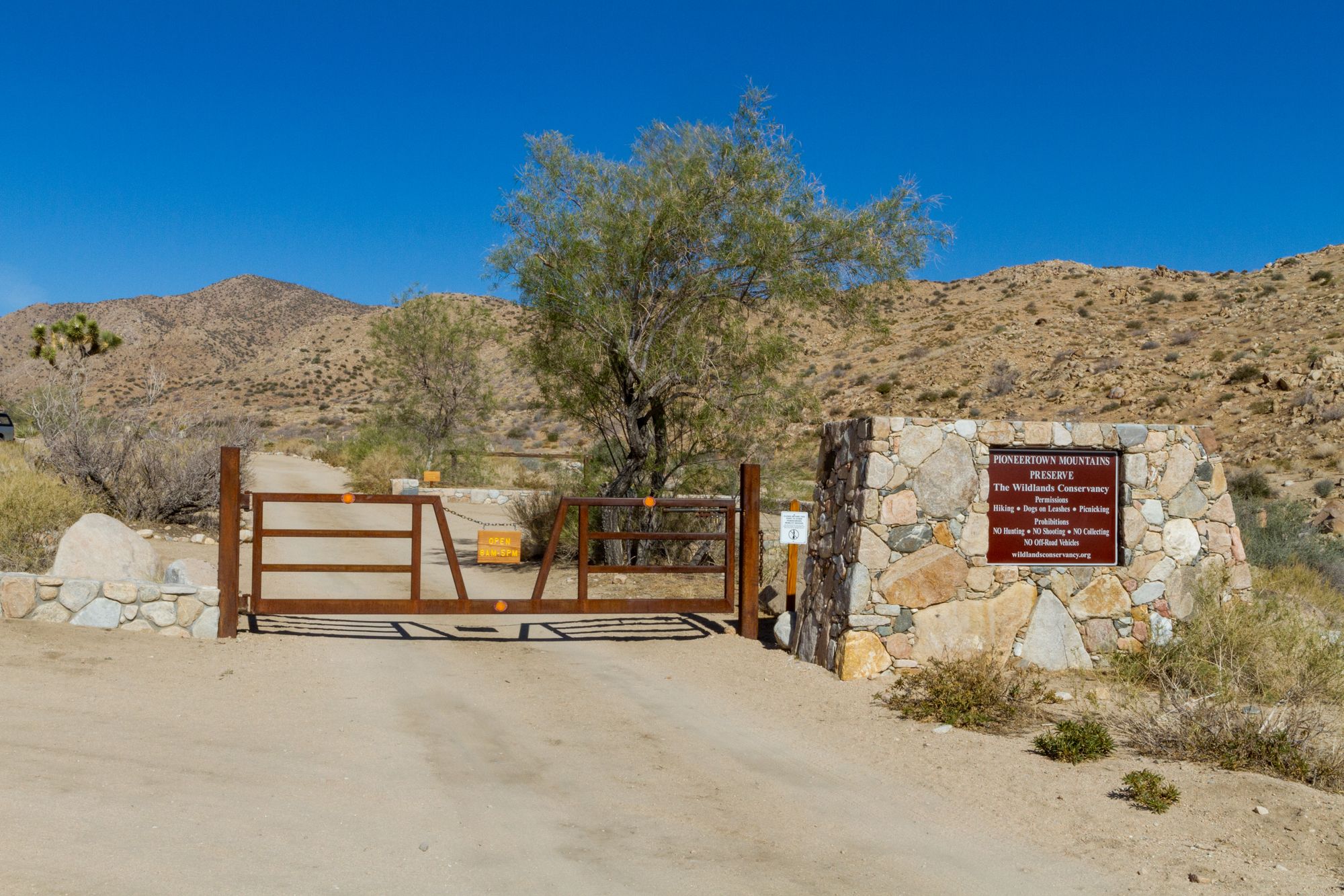
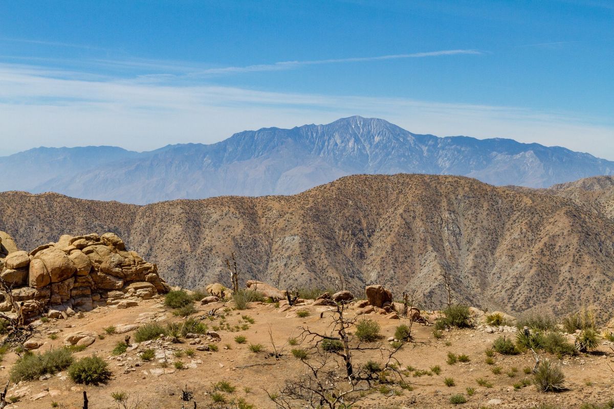
There is nothing historical here, but this is a nice hike to a peak with great views just outside of Joshua Tree.Pioneertown Mountains Preserve Gate
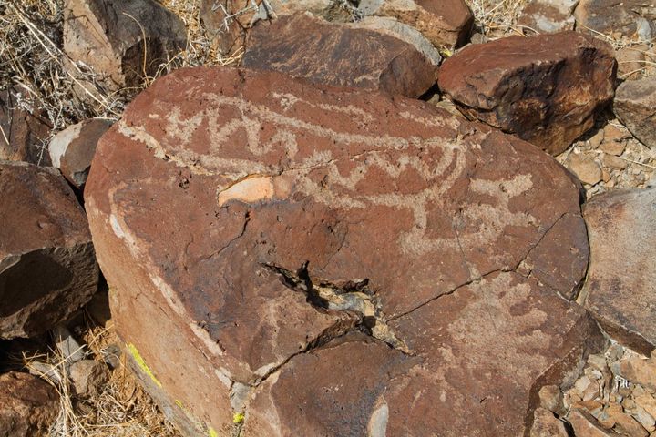
Black Lava Butte Petroglyphs Black Lava Butte is one of a pair of mesas rising from the desert north of Pioneertown within the Sand to Snow National Monument, its dark basalt cap slowly eroding at the edges. Lava-covered mesas are rare in the Mojave, and these two stand as remnants of volcanic flows
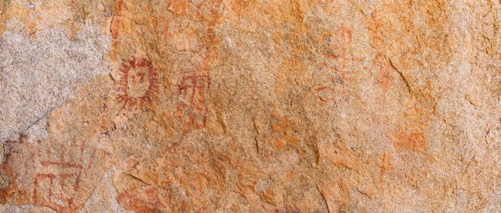
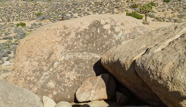
Hondo Wash Pictographs The Hondo Wash pictographs sit where granite boulders narrow the canyon to a passage. Rock art on both sides of the wash, exactly the kind of spot where people would pause as they moved through. The site features both petroglyphs and painted images in red and black. What's