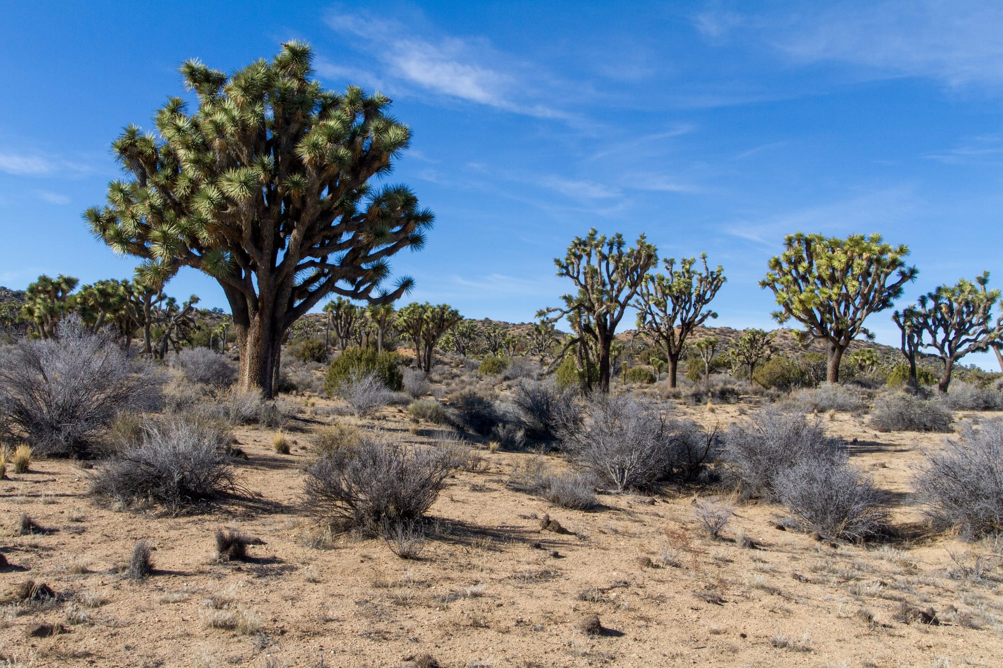
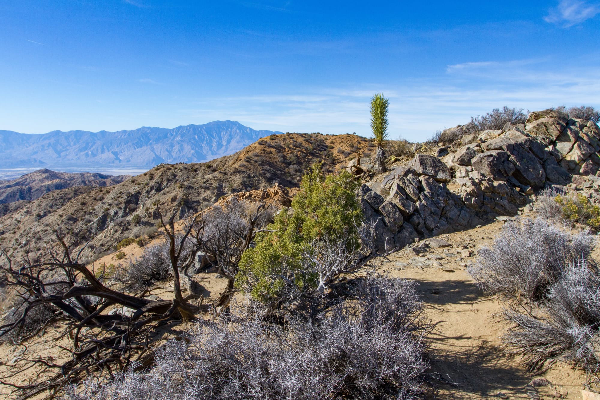
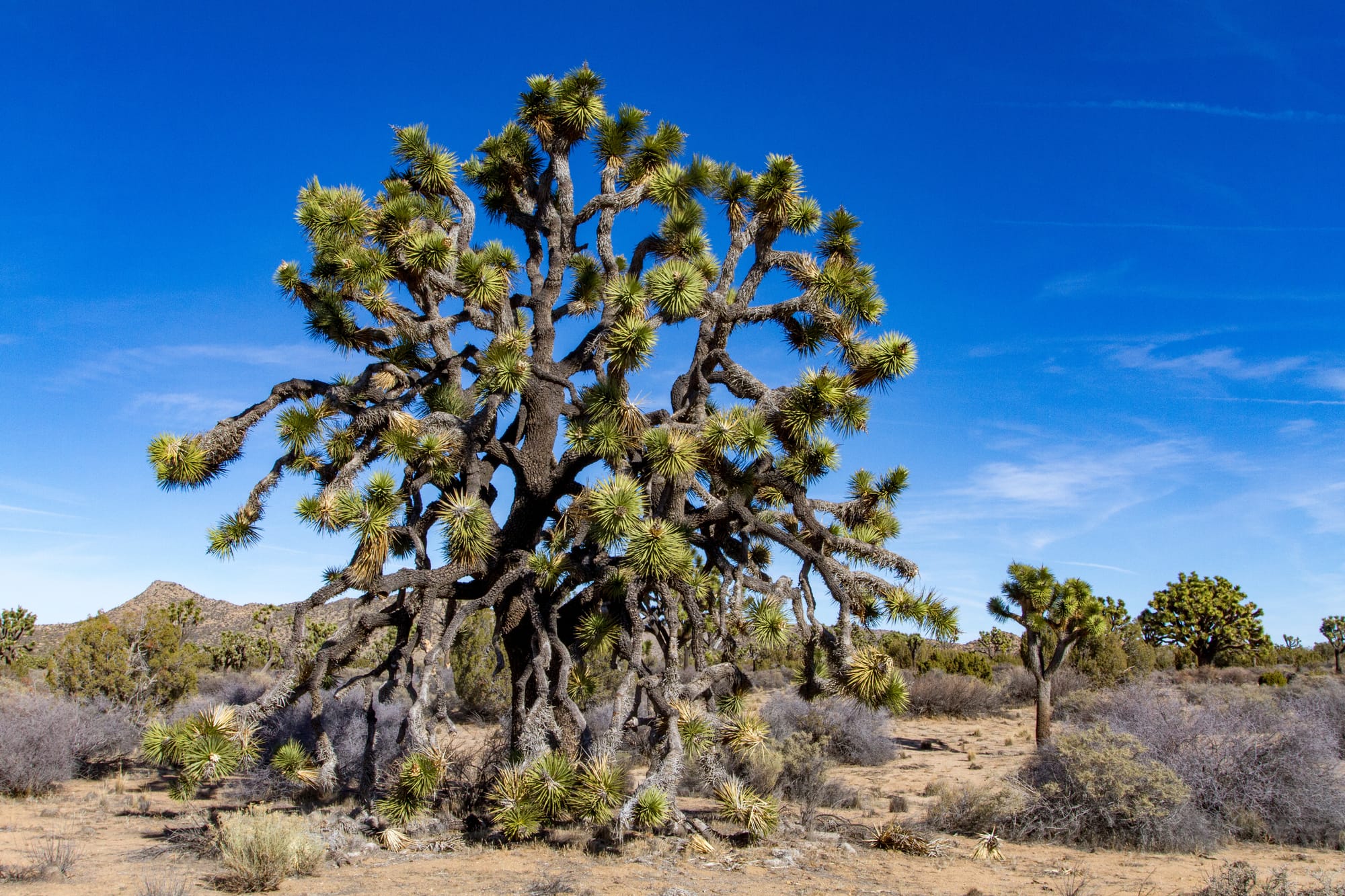
The Covington Crest trail offers a short but rewarding trek into seldom-visited Covington Flat. It is an easy 3-mile round trip hike that rambles through some of the park's largest Joshua trees. The trail culminates at a dramatic precipice overlooking the canyons of the Little San Bernardino Mountains, with sweeping views into the Coachella Valley beyond.
History
This remote area was once home to cattle ranchers in the late 1800s and early 1900s. Mark "Chuck" Warren established a ranch in what would become Yucca Valley in 1881. He was killed in his one and only automobile ride in September 1917, after which his neighbor, William V. Covington, acquired the ranch. Covington ran cattle in a few places in the high desert, including in this picturesque flat that now bears his name.
Directions
Getting There
From downtown Yucca Valley, at the intersection of highways CA-62 and CA-247, take CA-62 east for 2.7 miles to La Contenta Road and turn right (south). After a mile, La Contenta crosses Yucca Trail and becomes a graded dirt road. Continue on it and watch your odometer.
The Road
Road: 11.4 miles, High Clearance
La Contenta Road road travels through a residential area for 1.8 miles and then curves southeast toward Covington Flat. Follow the road to a junction at 7.7 miles, where a spur road heads over to a picnic area. Turn right at this intersection. At 9.5 miles, the road forks. Follow the left fork, which heads to the Upper Covington Flat Backcountry board. There is parking for about a half dozen cars.
The Hike
Hike: Easy 3.1 miles out and back, 139 ft gain round trip. 1 hour
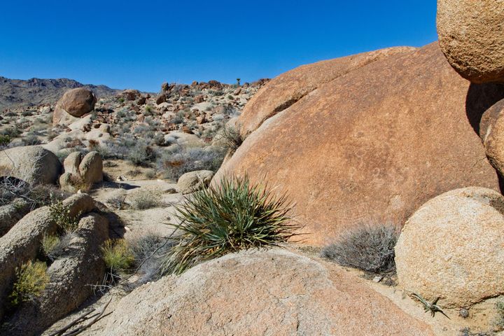
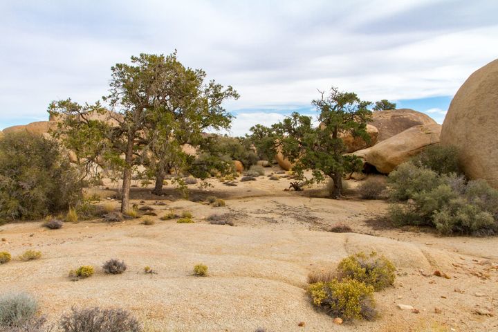
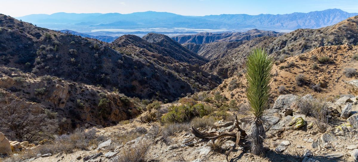
This straightforward hike begins at the signed Covington Crest trailhead, heading south from the parking area. Follow the clear path 1.5 miles through the Joshua tree, juniper, and pinyon pine woodland. The trail ends abruptly at the edge of a precipice overlooking the canyons and the Coachella Valley. Enjoy the expansive views.
Alternate Hike
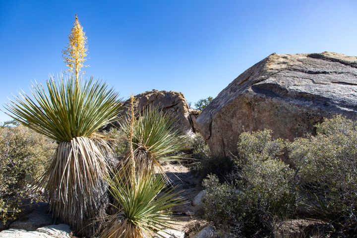
For an even better vista, backtrack 0.25 mile on the trail, then go cross-country northwest 0.3 miles to the top of Lone Tree Hill, marked by a prominent solitary Joshua tree. From here, you can see the Salton Sea from a notch to the southeast. After taking in the panorama, retrace your steps back to the trailhead.
Map
GPS Waypoints
- Covington Flat Trailhead: 34.00962°, -116.30589°
- Covington Overlook: 33.9904°, -116.3073°