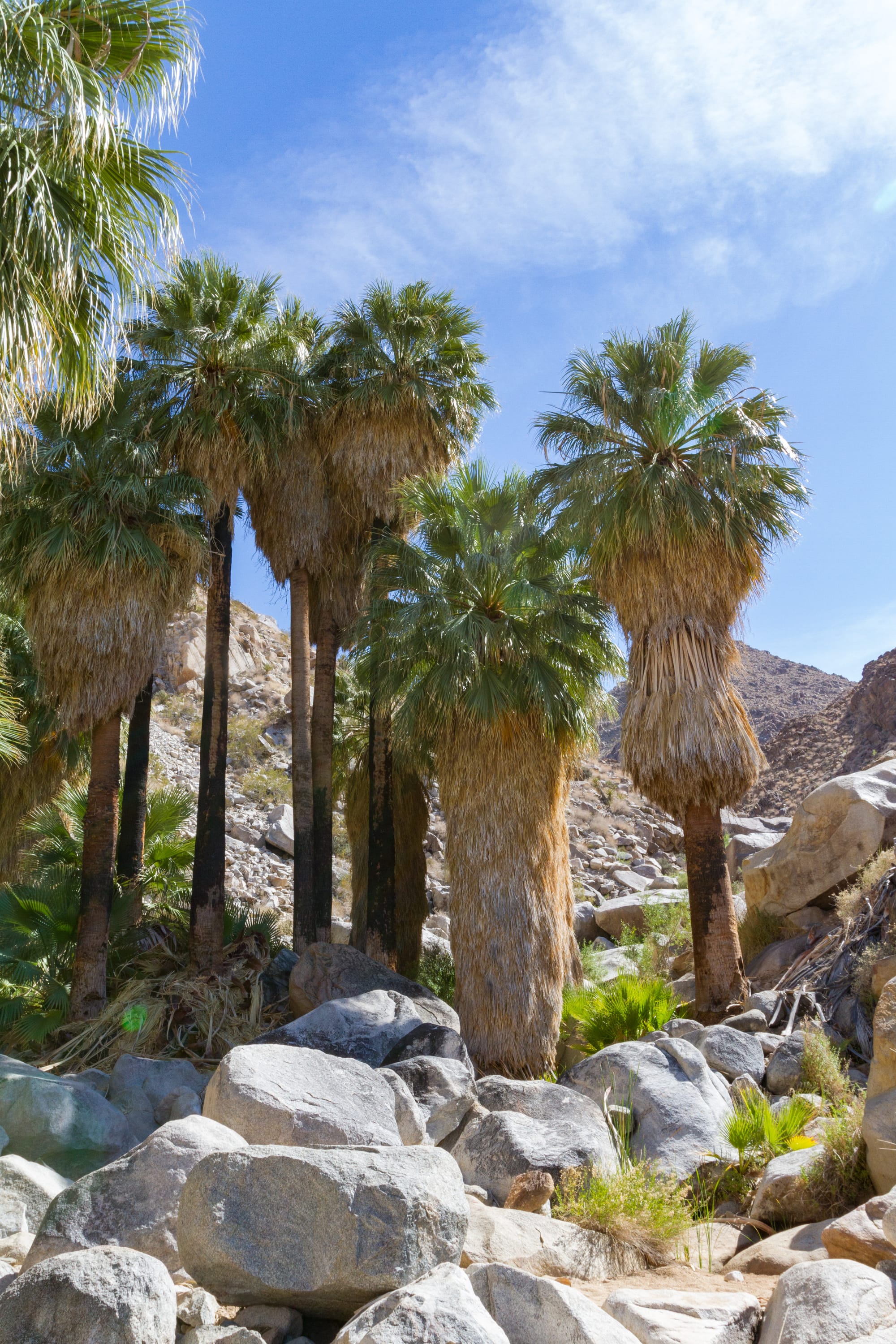
The Fortynine Palms Oasis is a popular and well-traveled hike to a shady palm oasis just outside the town of Twentynine Palms.
The trail was once part of an old Indian trail. The Serrano and Chemehuevi Indians knew this oasis well, ate fruit from the palms, and used the fronds in their shelters, sandals, and baskets.
In 1922, Mrs. Bernice Tucker, who lived in Twentynine Palms, had planned to build a cabin and settle here. She and her children camped at the oasis, but the cabin was never built. However, they built a dam and worked on improving part of the trail into a primitive road. Part of that road is now the road to the parking lot.
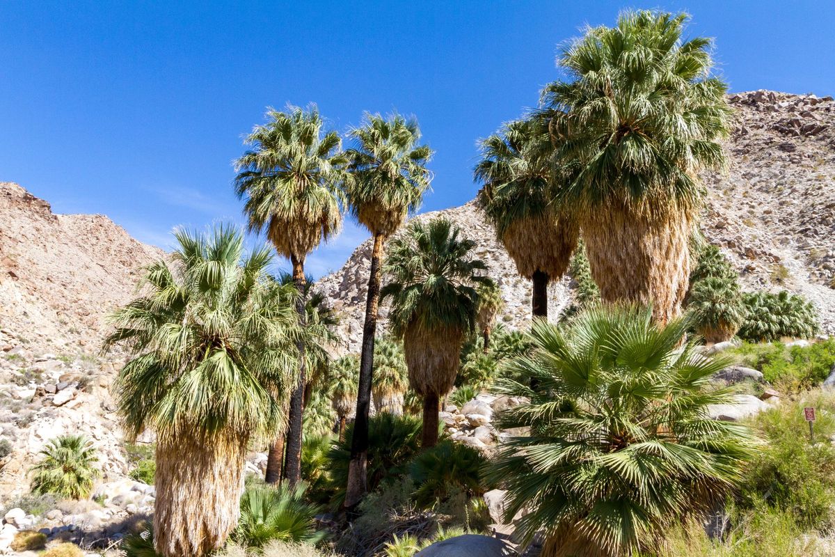
The palm trees here are California fan palms (Washingtonia filifera) and often live to be eighty years or older. Fire has scarred the trunks of the palms many times. Indians occasionally burned out the oasis to clean it and encourage new growth. Modern vandals have started fires here, too. Please be careful with this delicate habitat. There are only a few oases left in the desert with palms like this.
Directions
Getting There
The trailhead is at the well-signed parking lot at the end of Canyon Road off Highway CA 62. Canyon Road is four miles west of Twentynine Palms. Watch for a sign. This area is day use only, so please be out by nightfall. Park rangers lock the gate at night.
The Hike
Hike: Easy 3.1 miles out and back, 660 ft gain round trip. 2 hours
The trail from the parking lot to the oasis is developed and easy to follow. However, don't let the short 3.1-mile round trip fool you - this hike packs quite a punch. It climbs more than 300 feet up and then descends 300 feet back down to the oasis. Remember that you must repeat this to return to the parking lot.
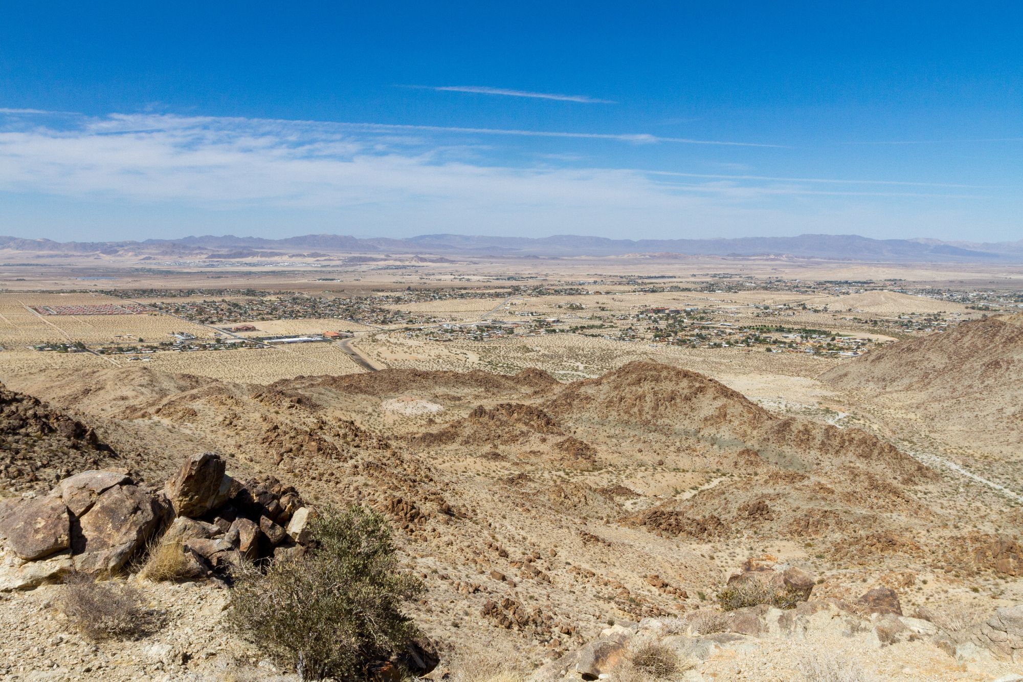
The trail climbs steeply up the rocky hillside from the parking lot kiosk. You'll find some rock-carved steps as the trail keeps a steady grade to the high point. At a switchback a half mile up is a sweeping view of the town of Twentynine Palms and the Marine base beyond. While you are catching your breath, you might wonder why a town called Twentynine Palms has an oasis called Fortynine Palms. The Oasis of Mara at the Visitor Center once had 29 palms, which the town was named after.
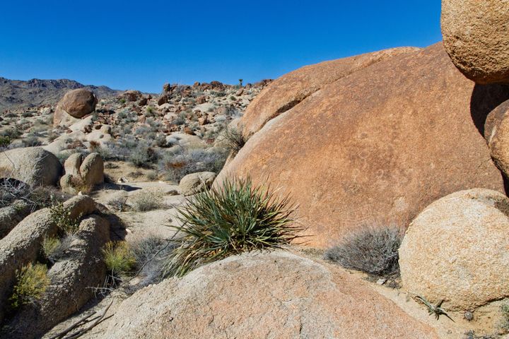
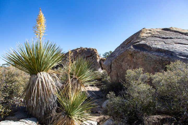
A second and equally pleasant viewpoint comes quickly at 0.67 miles, near the trail's high point. From here, views turn toward the canyon ahead. Keep an eye out for scattered patches of California Barrel cacti (Ferocactus cylindraceus) that dot the slopes as you begin to descend into the canyon from the trail summit.
Most of the trail, so far, has traversed a light-colored granitic rock known as Twentynine Palms quartz monzonite. It is suspected to have been formed by a subducting oceanic plate during the Triassic geologic period. As the trail drops down into Fortynine Palms Canyon, it crosses an area of darker Queen Mountain monzogranite. Across the canyon from the oasis is the noticeably lighter-colored and aptly named Fortynine Palms Oasis monzogranite. These two latter granitic plutons are thought to be of the later Cretaceous period, although the Queen Mountain formation could be older. These two are the same age as the granite in the Sierra Nevada Mountains far to the north, although weathering makes them look vastly different.
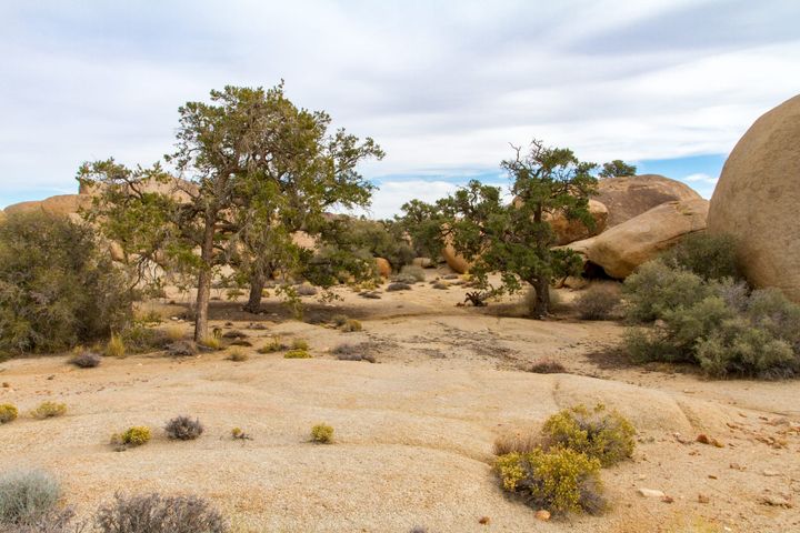
At the oasis, you will find a few pools of water and the welcome shade of California fan palms. There is usually water here, but it shouldn’t be used for drinking. Save it for the wildlife. If you must drink the oasis water, you should also filter it first.
Be sure to check the Park's website for current conditions. The trail is sometimes closed to allow bighorn sheep to access the springs.
Map
GPS Waypoints
- Fortynine Palms Trailhead: 34.11927°, -116.11211°
- Fortynine Palms Oasis: 34.1056°, -116.1052°