GPS Only
These trips have GPS waypoints (but not detailed directions). GPS waypoints are limited to paid subscribers. GPS coordinates are in Degrees unless otherwise stated. WGS84 Datum.
Be sure to scroll down to load all of the posts.
242 posts
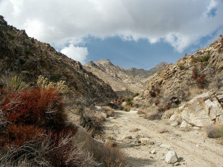
Willis Well Petroglyphs
Willis Well is an interesting place. For centuries, Native Americans camped in the spring (really just a seep). Numerous Desert Archaic petroglyphs cover the boulders near the spring. They are mostly abstract designs. Their meanings were lost in antiquity.
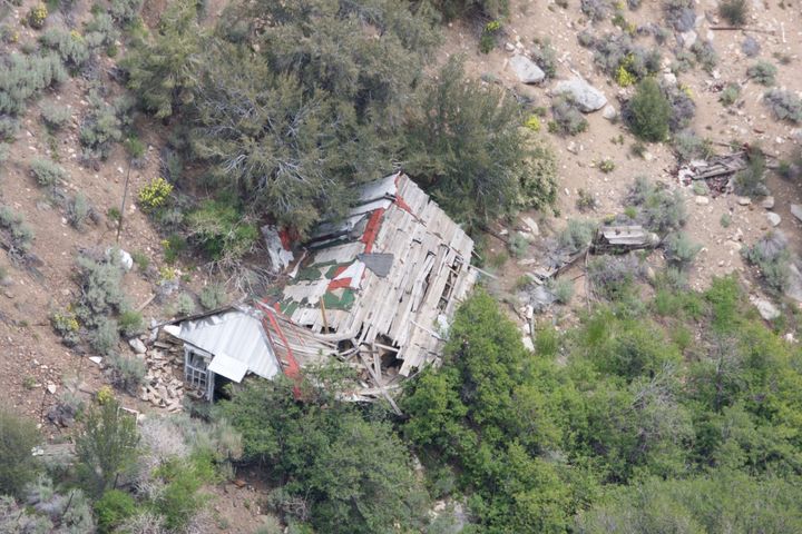
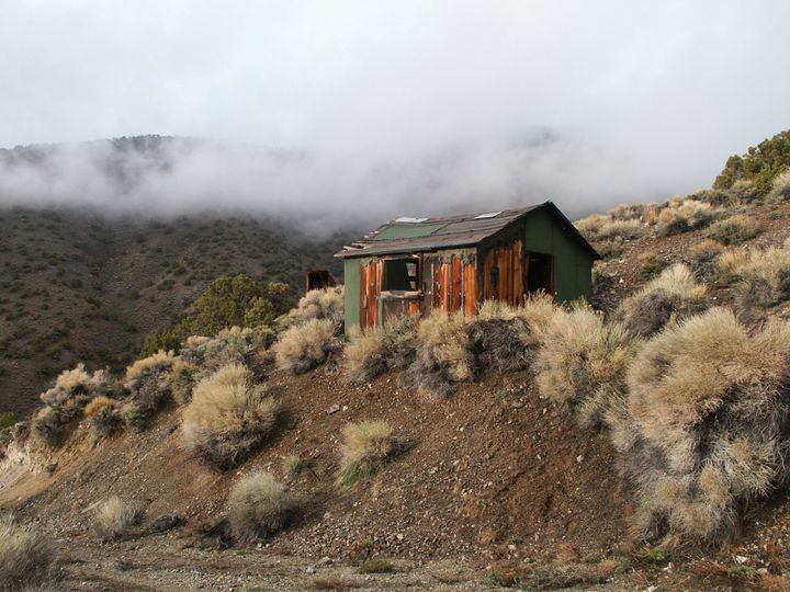
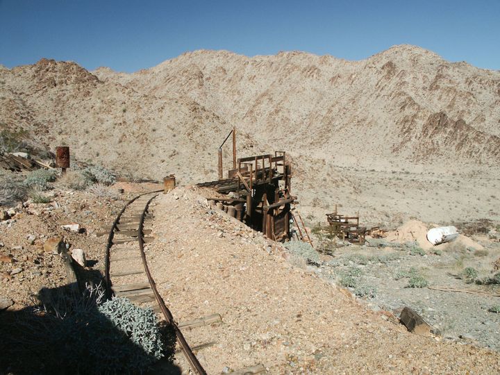
Montague Mine Cabin
In 2011, we took a rough 4WD trip up to the top of the Sweetwater Mountains to see the Montague Mine Cabin. The mines in the area were active in the 1880s, but there isn't much left of them today. The cabin is in better condition but is
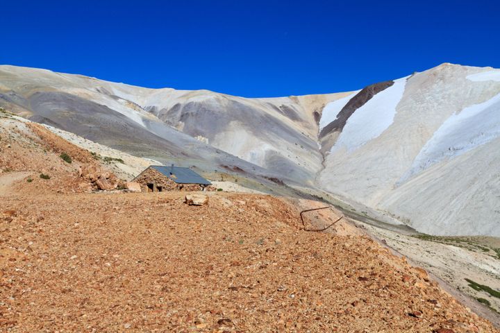
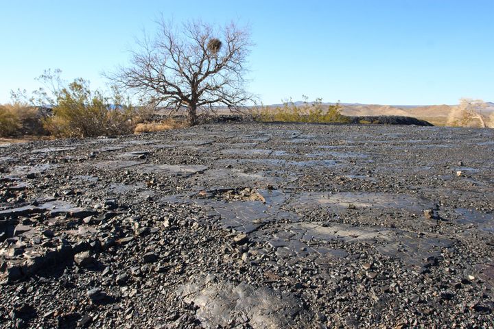
Long Shot Mine
Back in 2003, Alysia and I met up with my dad, Brad, and friends to hunt for a remote old mine out in the Mojave desert. Several quartz veins here worked for gold as late as the 1950s. The mines aren’t deep but don’t seem to be played
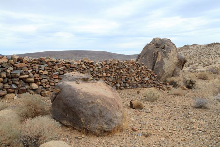
Rosalie (Valley Wells)
Just off Interstate 15, in the shadow of Clark Mountain, lie the scattered ruins of Rosalie, also known as Valley Wells.
Rosalie's tale began in 1898 when the Ivanpah Smelting Company of Los Angeles recognized the potential of nearby copper deposits. They sank two wells at a site
Moser Mine
In 2004, We met up with our friends Dan, Annie, and Micah to explore this old mine in the southern part of Joshua Tree. We spent most of the day hiking to this old mine camp. We were surprised to find a few old cabins, the mill remains, and an