GPS Only
These trips have GPS waypoints (but not detailed directions). GPS waypoints are limited to paid subscribers. GPS coordinates are in Degrees unless otherwise stated. WGS84 Datum.
Be sure to scroll down to load all of the posts.
243 posts
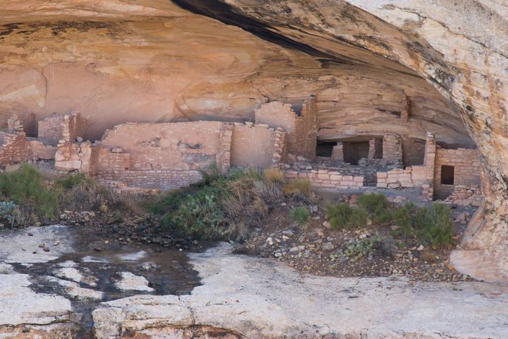
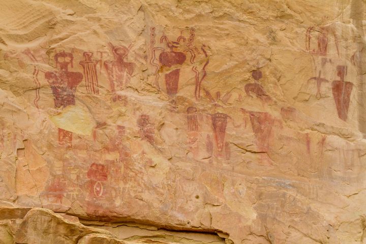
Butler Wash Ruins
Park Canyon Millsite
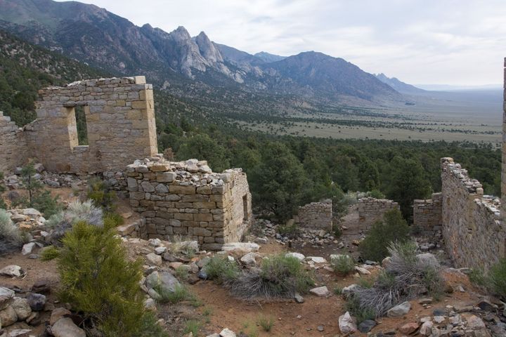
Mountain View Mill and Arrastra
Don Alvadore Mine
The Don Alvadore Mine is a single adit and stope 500 feet up on a cliff above Lundy Canyon. The old trail to the mine is overgrown and hard to follow in places these days.
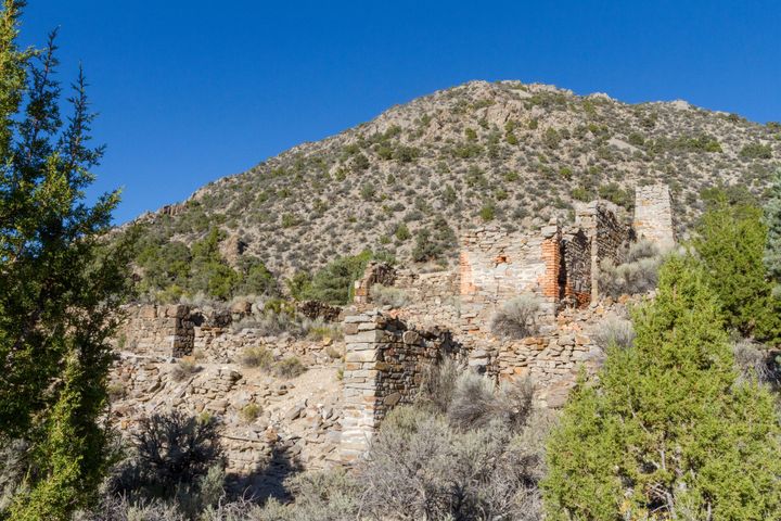
Delamar Mine
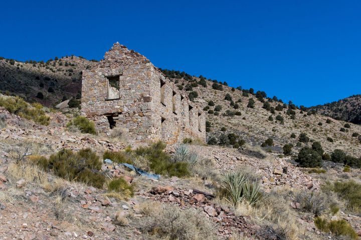
Delamar Ghost Town
The mining camp of Delamar started out as a small tent camp similar to Helene, just a few miles to the north and only a few months later. It was centered around the April Fool, Monitor, Gold Cup, Hog Pen, and a few other small mines. Captain Joseph De Lamar