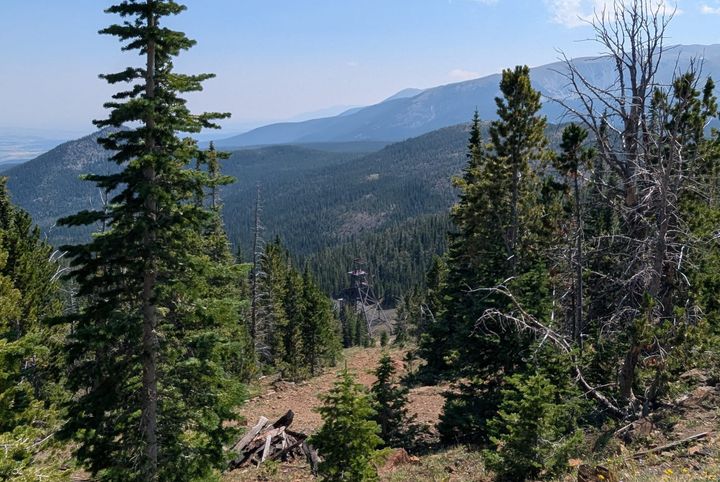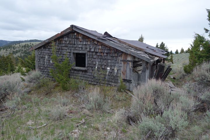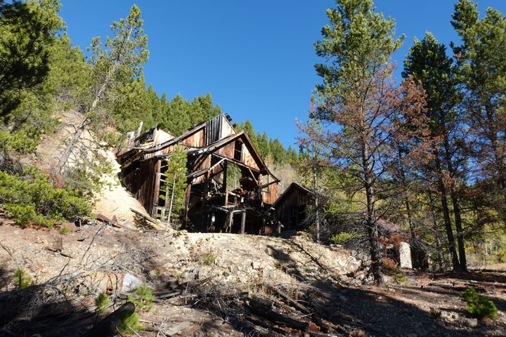
The Big Tizer Wildcat is an obscure mine. Located above the creek of its namesake, in Jefferson County, Montana, little information exists about the site. According to an April 18, 1936 issue of The Boulder Monitor, the only significant source about the operation, the mine was worked for a brief period in the mid-to-late 1930s as the Tizer-Sunrise Mine. A later survey of mineral resources in the Elkhorn Wilderness Study Area, conducted by the U.S. Bureau of Mines in 1978, gives some limited information on the workings, while the mine is otherwise only mentioned in passing in other reports. Today, few ruins remain on site, and no records exist of the full extent of the workings, total production, or when the mine ceased operation.
Site History
The first work done in the vicinity of the Big Tizer Wildcat Mine was undertaken by the Big Tizer Placer Mining Company. Incorporated in 1897, the company had a 160-acre placer claim on Big Tizer Creek, and in 1898, sunk a shallow shaft through the bedrock just above the creek to determine the quality of the gravel. A subsequent tunnel near this placer ground later revealed a narrow vein of gold ore.
As a result, Sam Perron (also known as Sam Perrin and born as Anselme Perron in Italy) located a claim at the current site of the Big Tizer Wildcat Mine in 1908, filing his claim as the Sunrise quartz lode the following year. Initially developed as a cut in the ground, the claim showed promising results, and the Sunrise No. 2 and Trail lodes were later located. Described as a “colorful character” by The Boulder Monitor in his March 18, 1950 obituary, Perron had been a resident of the now (semi) ghost town of Elkhorn since 1902. An accomplished hunter, taxidermist, and prospector, Perron pursued all three until his death.
The Callahan Gold Mining Company later leased the two Sunrise claims and the Trail claim as the Tizer-Sunrise Mine. Callahan Gold also operated several additional claims as the Golden Age Mine less than a mile north, and ore from the company’s claims was processed in a small stamp mill on Big Tizer Creek, which burned down at the end of 1932. In 1933, the company built a new mill, but it too burned down, after an oil feed line broke above the boiler, killing fireman George Pitts and severely wounding mill hand Tom Rogers. Not long after, the Callahan Gold Mining Company forfeited its leases, and the Tizer-Sunrise Mine was taken over in June 1935 by William Monroe Edwards and Walter Hanson Pind.
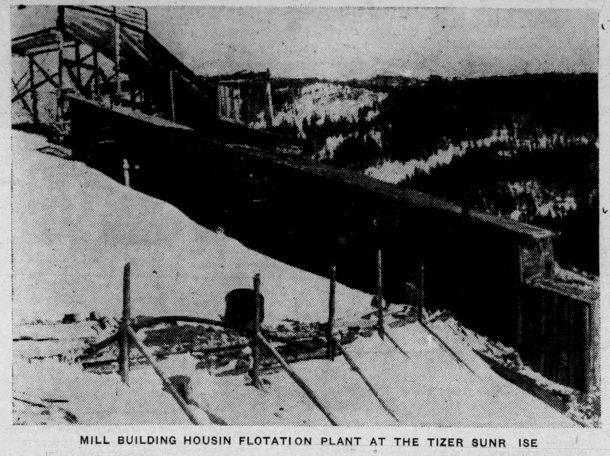
Previously, Edwards and Pind both lived and worked in Sunburst, Montana, an oil boom town in the far north of the state, and the two acquired Tizer-Sunrise as independent operators. Since he had milling experience, Edwards supervised construction of a new 20-ton capacity flotation mill at the mine, just above Big Tizer Creek, which was completed by the end of 1935. Heavy snow stalled work at the Tizer-Sunrise Mill during the winter of 1935-1936, but it was again operational by April 1936. The aforementioned April 18, 1936 issue of The Boulder Monitor describes the mill thus:
“The Tizer Sunrise mill [consists] of [a] jaw crusher, automatic ore feeder, 20 ton actual milling capacity, ball mill, rake classifier, automatic re-agent feeders, laundries, three cell flotation unit, and thick[e]ners.”
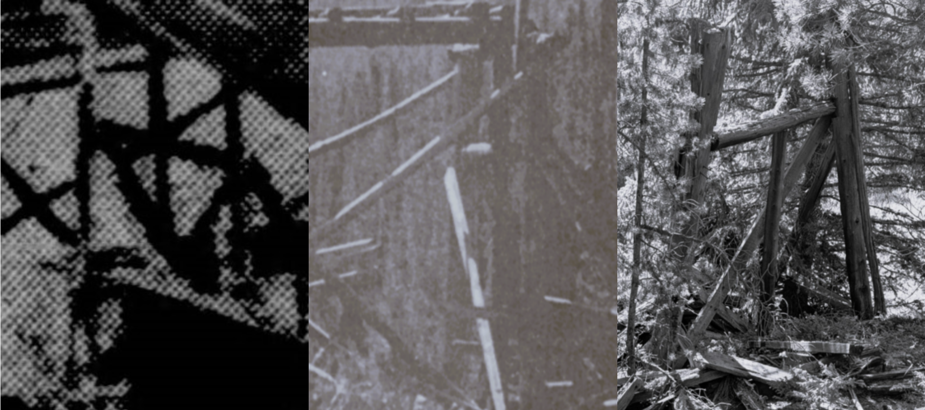
This article also includes a picture of the mill, shown below. A month later, the article was reprinted in the Montana Oil and Mining Journal, but with a different picture showing a shorter (and possibly earlier) version of the mill.
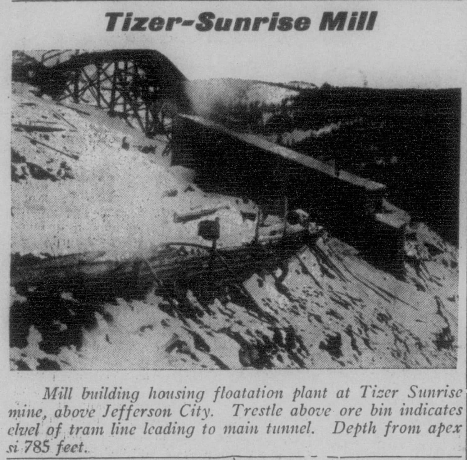
In the meantime, the Golden Age Mining Company was incorporated and acquired Callahan’s former Golden Age Mine. Soon after, in 1936, the company built a new mill about a mile north of the Tizer-Sunrise Mill, with about twice the milling capacity; this mill still stands at the Golden Age Mine.
After 1936, no further mentions of activity at Tizer-Sunrise appear in any records. In fact, between 1937 and 1950, the Golden Age Mine is regularly noted as the only mine to ship any ore from the Tizer-Wilson Creek district in the U.S. Bureau of Mines Minerals Yearbooks for 1937-1950. This points to the possibility that Tizer-Sunrise was unsuccessful and/or was entirely superseded by the more successful and higher capacity Golden Age operation.
Curiously, the previously quoted April 1936 article states that “Tizer-Sunrise” had been a familiar name in the area “[f]or over a quarter of a century,” despite the name “Tizer-Sunrise” only appearing in this article and one later reprint. However, this could be due to a few factors: Tizer-Sunrise may have been primarily known via word of mouth, records could be lost, or the paper could have been exaggerating. It is likely a combination of all three.
Edwards, Pind, & The End of The Mine
Although there is no clear date for the end of the mine, W. Monroe Edwards and W. Hanson Pind worked together as late as 1938, listed in a court case versus G. H. Garnett in October 1938 by The Boulder Monitor; however, the paper does not specify the nature of the case. Two years later, Edwards began ranching near Vaughn, Montana, and continued for the next two decades, never returning to his oil or mining ventures, according to his February 23, 1961 obituary in The Great Falls Leader.
Pind (born Lauritz Valdemar Hansen in Denmark), by contrast, becomes enigmatic after 1938. That year, he was delinquent on taxes for two properties in Sunburst, and the same properties were foreclosed on in 1940. Relatives in Denmark suspected that Pind moved from Sunburst to either Butte, Montana, or Spokane, Washington, as they contacted the Danish Consulate to find his whereabouts the previous year. Possibly to avoid legal or financial troubles, Pind seemingly disappeared by the 1940s. His Danish relatives again tried to find him, contacting the FBI and Spokane police via the Danish police nearly a decade later in 1948.
While it is uncertain if his relatives found him in the intervening decades, W. Hanson Pind died in Seattle, Washington, in June 1974, and the funeral notice in the Seattle Post-Intelligencer lists no one in attendance, no relatives, and no obituary. Pind was buried in the Willamette National Cemetery in Oregon, as he served in World War I, and as late as 1984 in Montana and 1994 in Washington, he still had unclaimed bank deposits in the respective states. In all likelihood, his relatives never found him. Due to Edwards’s move to ranching in 1940 and Pind’s disappearance around the same time, Tizer-Sunrise likely closed around 1937-1939, yielding little profit.
Maps, Studies, & Later Photographs
The former Tizer-Sunrise Mine surfaces in the decades after 1936 under a different name, identifiable as the same mine by the location and ruins. Its first appearance on a map is the 1950 U.S. Geological Survey 15-minute map of Clancy, Montana, where it is labelled as the “Big Tizer Wildcat Mine,” with one north-westerly striking adit on Big Tizer Creek. Besides being the first map to show the mine, it is also the first time the “Big Tizer Wildcat” name was applied to the site. All sources continue to use this name post-1950.
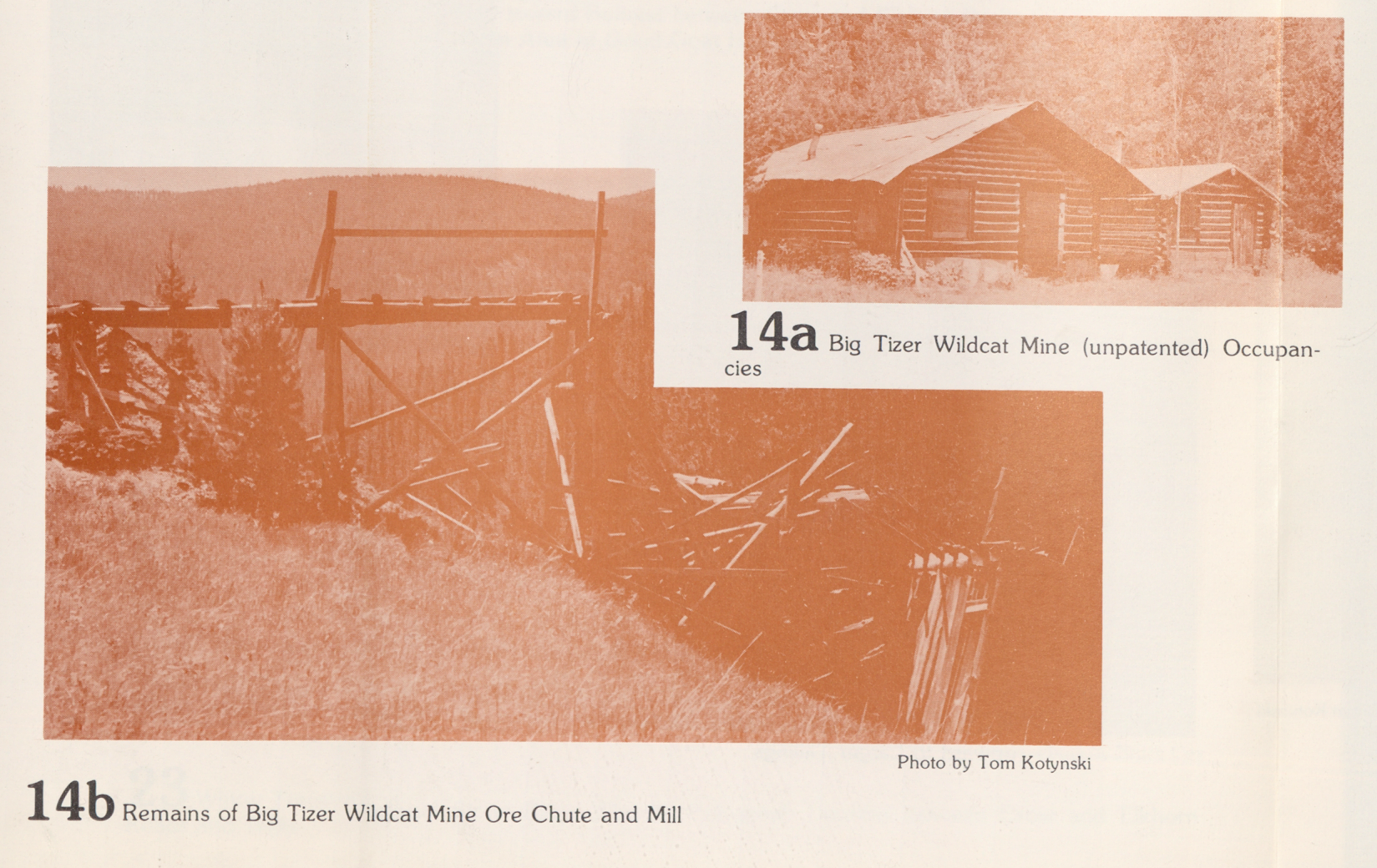
The mine later appears in a 1976 article by Thomas Kotynski for the Great Falls Tribune about recreation in the Elkhorn Mountains. An included picture, taken by Kotynski, shows the ruins of the Tizer-Sunrise Mill, labelled the Big Tizer Wildcat Mine, helping link the two names together as referring to the same site. Interestingly, while the ore trestle appears unchanged (albeit in ruin), the mill has a slanted roof, unlike in the 1936 photographs, where it is shown with a flat roof. This alteration is not surprising, as the original flat roof would have been ill-equipped for heavy snowfall; this alteration also shows that work continued past spring 1936.
Two years later, Kotynski’s photograph was used in a U.S. Forest Service report on the Elkhorn Wilderness Study Area, where it appears in higher quality. Additionally, a few cabins near the mine are also shown in the report. No further information is given, however, and the cabins have since disappeared from the site.
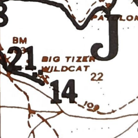
In conjunction with the Forest Service report, the U.S. Bureau of Mines also studied the area’s mineral resources, listing the mine as the “Big Tizer-Wildcat Prospect” in the resulting 1978 report. The report notes two adits (one 300 feet long and stoped to the surface and the other caved and possibly 400 feet long), four prospect pits, and the ruins of the mill. Because of the absence of any records, the surveyors estimated the mine produced about 1,000 total tons of ore based on the stopes and mill.
While it remains unclear why the name switched from Tizer-Sunrise to Big Tizer Wildcat, there are a few possibilities. Two miles to the southwest, on Little Tizer Creek, John Passini located the claims for the lodes of Wildcat, Line, and Wildcat No. 2 in 1930, 1932, and 1933, respectively. These claims became the basis for the seemingly unrelated but similarly named Little Tizer Wildcat Mine, which, like Big Tizer Wildcat, first appears on the 1950 15-minute map of Clancy.
Perhaps, between 1936 and 1950, a “Wildcat” claim was located at Tizer-Sunrise. Alternatively, the U.S. Geological Survey, lacking information on the mine, simply named it Big Tizer Wildcat, relating to its location, the nearby mine on Little Tizer Creek, or to the fact that it was poorly documented/unofficial; i.e., a “wildcat mine.” The latter theory seems the most likely, since Edwards and Pind worked the property as independent operators, without official or corporate status.
Remains
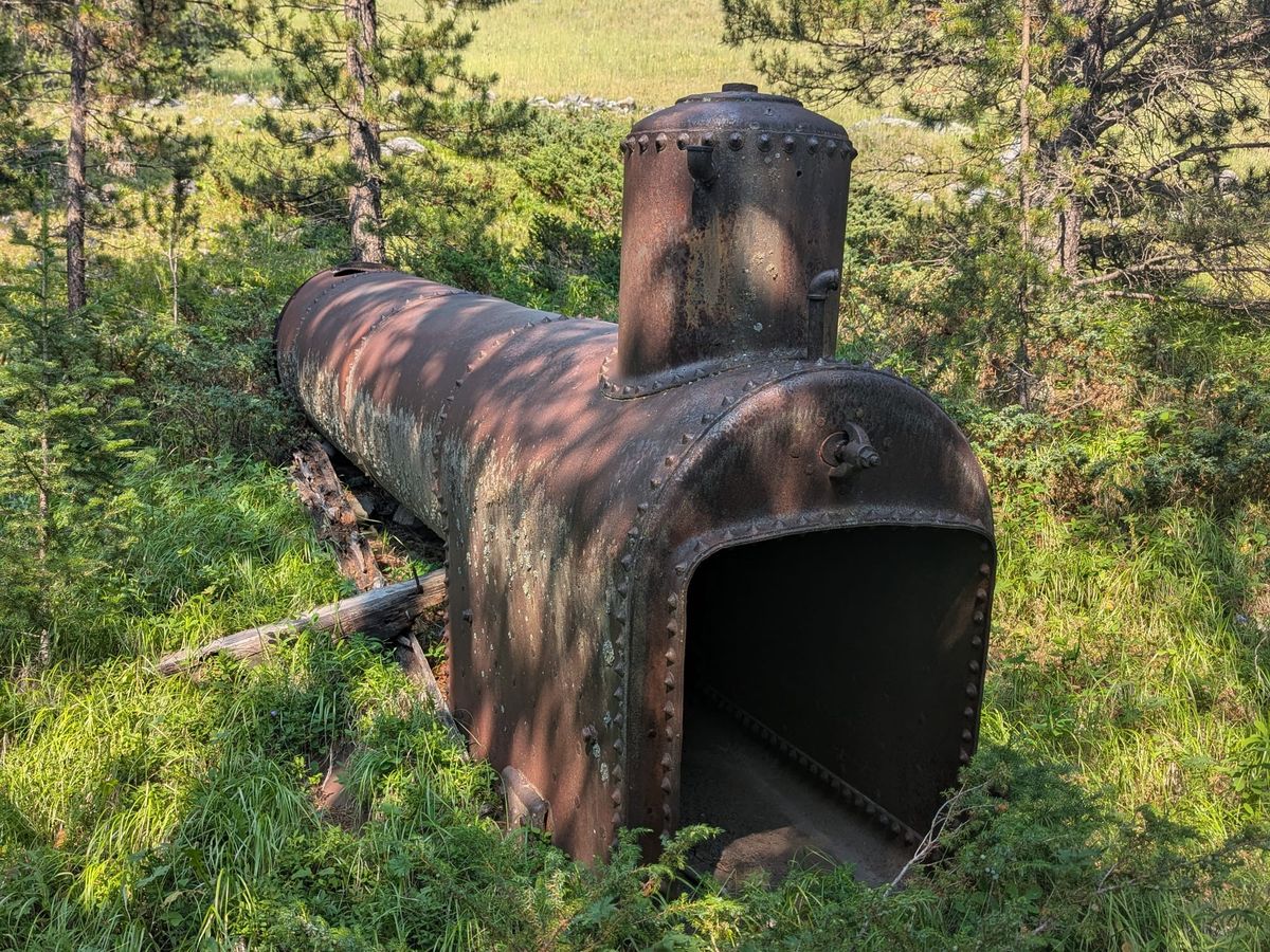
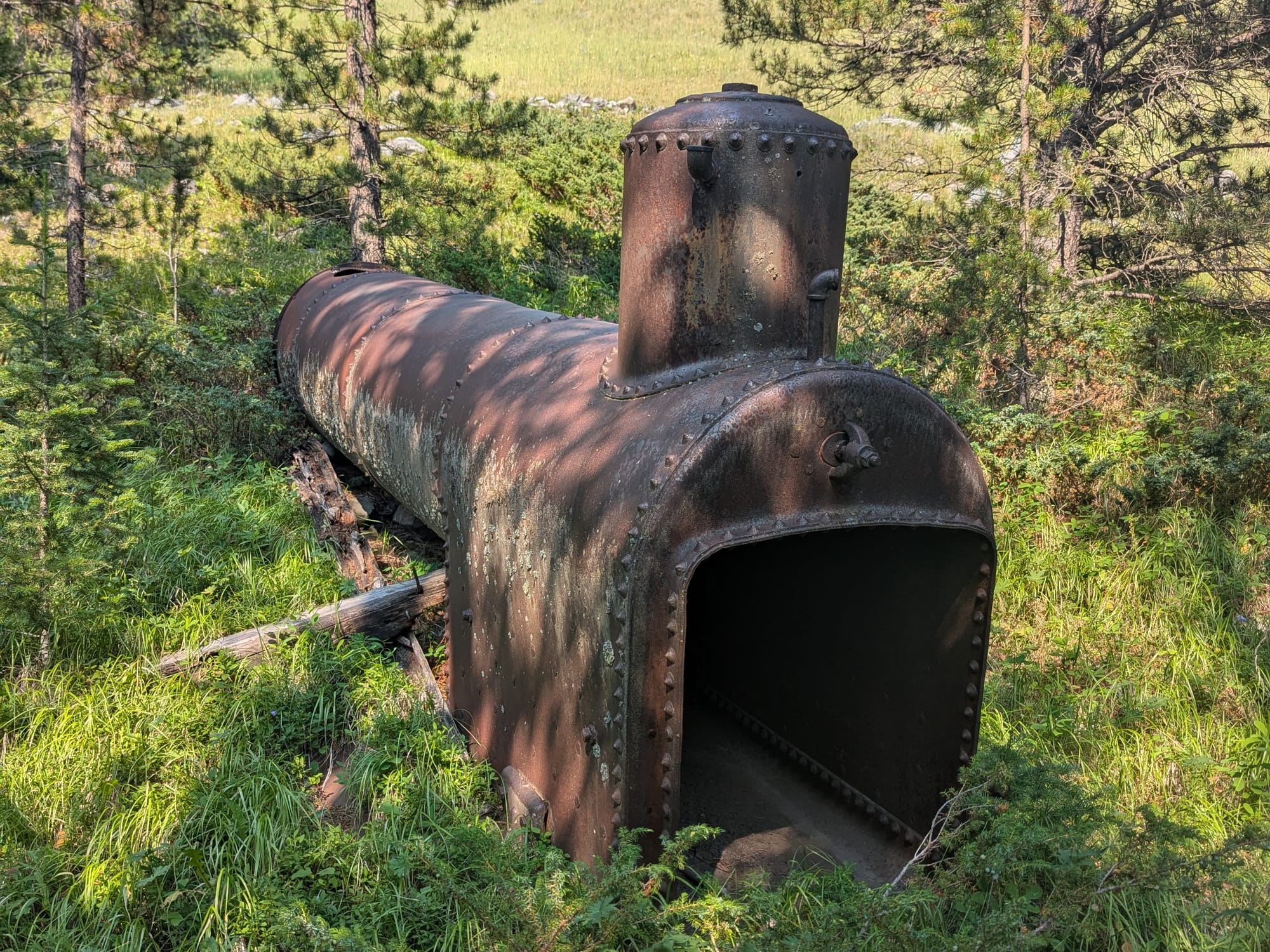
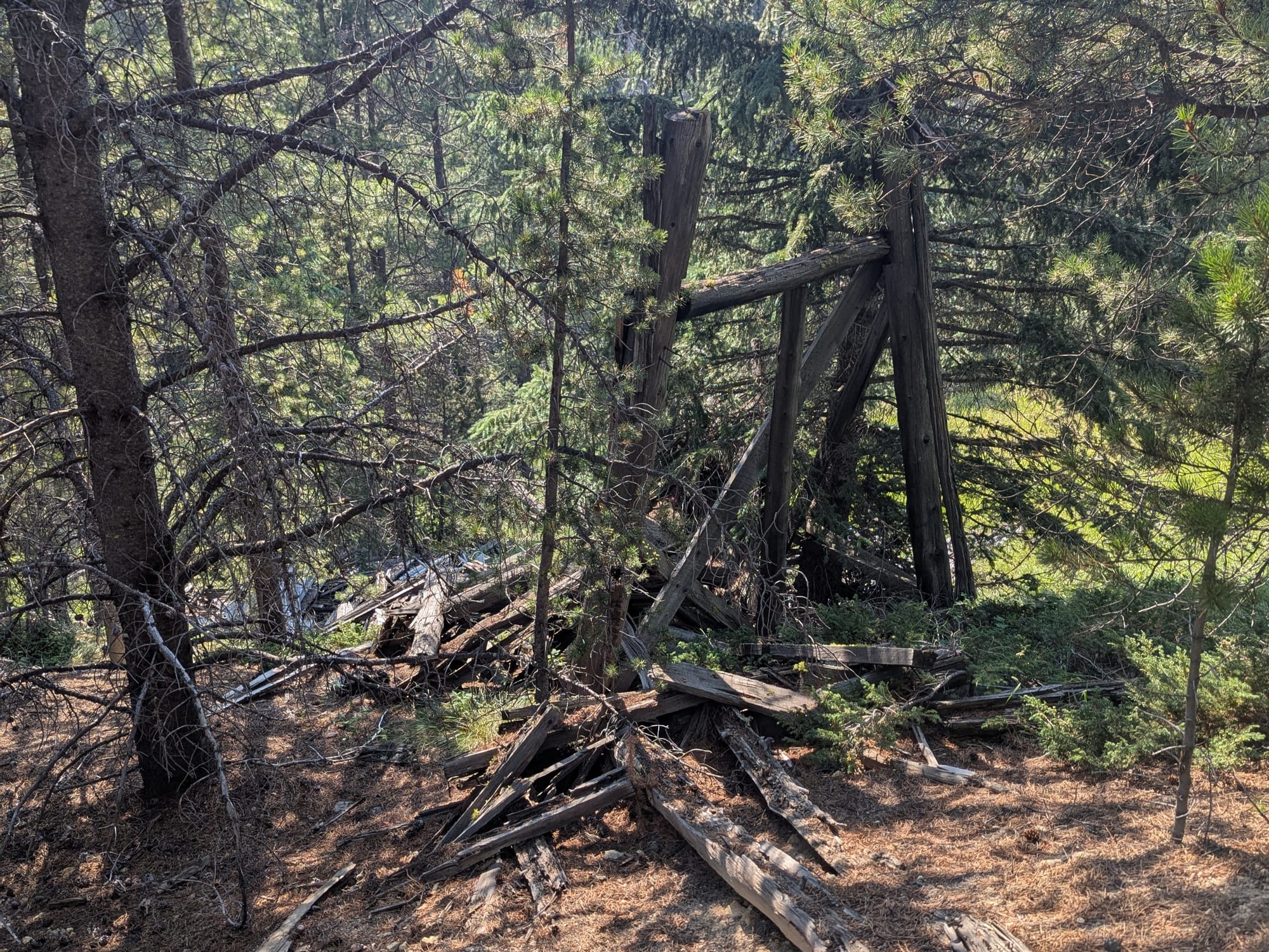
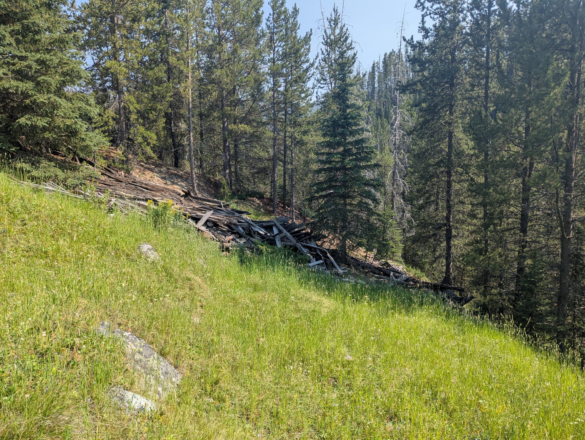
Very little remains at the site today, and both the workings and mill have collapsed. The star of the ruins is the fire-tube boiler, the only remaining piece of equipment. Most of the other ruins consist of the timbers that once made up the ore trestle and small mill. One support from the ore trestle still stands, partially propped up by a tree. Based on the three-legged design, crossbeam, and shape of the struts, it is identifiable as one of the supports near the end of the trestle in the 1936 and 1976/78 images.
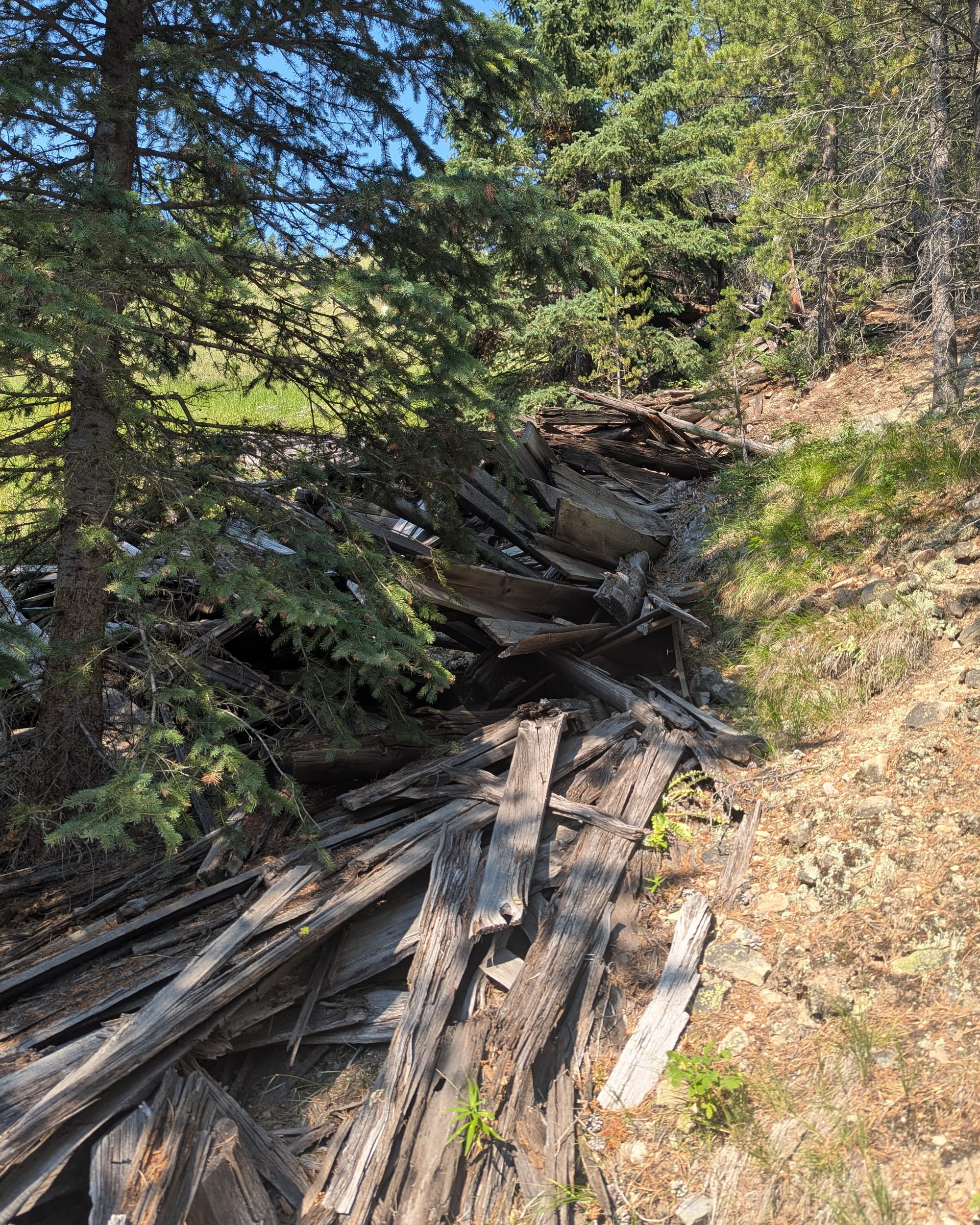
Near a depression that is likely a caved portion of the workings, a small structure, less than six-by-six feet across, sits partially buried in brush and earth. It is hard to tell what it is, but it may be a small ore bin.
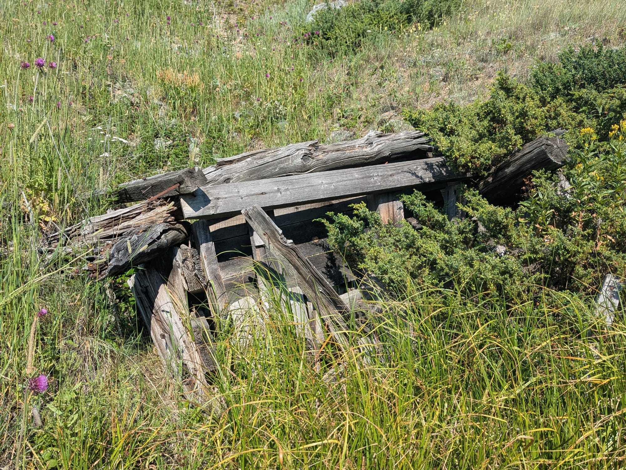
A heavily overgrown old road leads from the main trail down to the mine; this road once passed by the miners’ cabins. Long grass covers much of the site, and the last timbers of the mill and trestle probably don’t have long before they too disappear. For those like W. Hanson Pind who slipped through the cracks, these few forest timbers are among the last physical marks that they left behind.