Three tunnels pierce the mountainside at the head of Keystone Canyon, in the New York Mountains, one above another, each shorter than the one below. This is the Copper Queen Mine, which the Geological Survey's 1956 report called the Queen. Hardly anyone knows the place. The lowest tunnel runs 300 feet into the hill, the middle one 232, and the top one 94. When the geologist D. F. Hewett walked this ground in the 1920s he found "no record of production," and when the Bureau of Mines came back some sixty years later the best it could say was that there "may have been some." The miners were chasing a vein of quartz and fluorite along the contact between granite and dolomite, and they found it. There was just never enough of it.
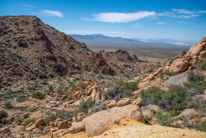
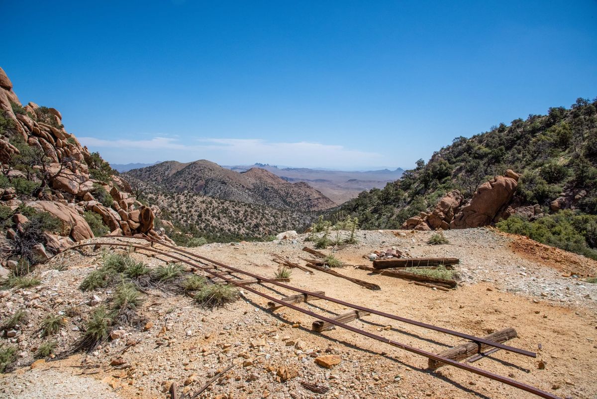
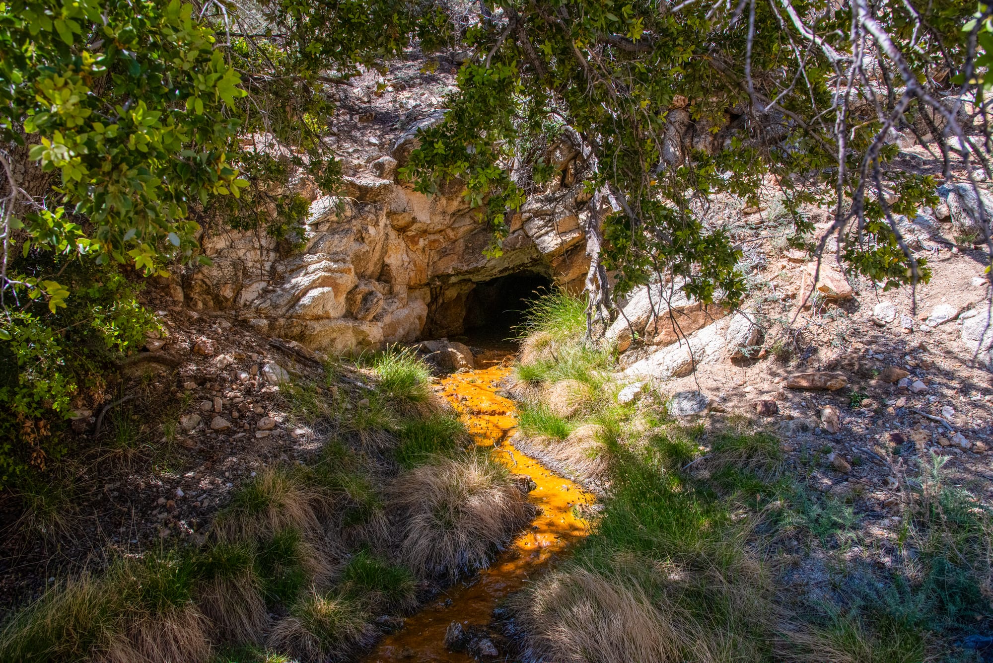
Honestly though, probably the main attraction is the canyon itself. Pinyon pine and canyon live oak shade much of Keystone Canyon, and an old road runs most of the way up it, so the walking is easy and the grade gentle until the last half mile. Where the old road ends, you get a flooded adit seeping rust-orange water, a platform of rails and timbers, a dump scattered with copper-green pebbles, and a long view east across Lanfair Valley to the Castle Mountains.
Two more adits are cut into the slope above that platform. These are for ardent adit lovers in good shape. The climb up to them is on steep, loose ground; everything else worth seeing is on the lower platform.
History
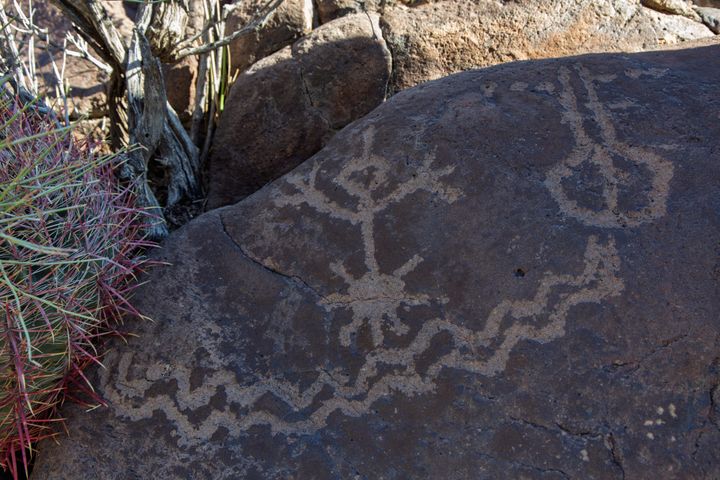
Prospectors were working the New York Mountains by 1861, and the New York mining district was organized in 1870. Eight silver mines and four copper mines were active in the 1870s and 1880s, and one modern account calls one of them the Keystone. The only Keystone in the Manvel news of the 1890s was Isaac Blake's, across the Nevada line at Goodsprings; nothing I found ties a Keystone mine to this canyon for sure, which carried the name by 1899 all the same. Long before any of that, people came to these mountains in early autumn for pinyon nuts and game, and sometimes for turquoise.
Before the railroad reached Manvel (later called Barnwell) in 1893, the camps in Keystone, Sagamore, and Caruthers canyons were small communities of their own, only about two miles apart and linked by pack-mule trails. (See Sagamore Mine Camp Ruin for the district's biggest mine.)
The Copper Queen's story probably starts in the fall of 1899, with Manvel booming on new gold strikes along this slope. A Los Angeles mining journal's Manvel correspondent reported the Mineral King and Queen as new copper discoveries southwest of the Homeward Bound, a lead-silver tunnel that sounds like the Bronze Mine, half a mile north of here. By January 1900 Gus Hamstadt and his partners had a winze going down on the Mineral Queen's copper ore "with the lights burning all night long." Nobody at the time placed the claim in Keystone Canyon, so I would call the connection a strong "maybe" rather than proven.
Whoever dug here first, what they found did not last. When D. F. Hewett mapped this country for the Geological Survey in the 1920s, he found two tunnels, 250 and 325 feet long, driven south through the granite and across the contact into the older Goodsprings dolomite, where they struck a vein of quartz and fluorite up to twelve feet wide, carrying a little pyrite and chalcopyrite. The spot was no accident: where granite pushes into carbonate rock, the contact is where the metals concentrate, and the east side of the New York Mountains is dotted with small mines on these contacts, the Bronze among them (see Bronze Mine (New York Mountains)). What this contact never delivered was enough ore.
By the early 1950s the state listed the property as the Copper Queen, held by the Paramount Mining Company of Burbank: "copper-tungsten-zinc," three tunnels, "small production, if any." In 1990 the Bureau of Mines measured the three adits at 300, 232, and 94 feet, sampled the lower dump at 1.40 percent zinc, 0.35 percent copper, and better than one percent fluorine, and noted that Homestake Mining had looked the fluorite over and kept the results in an unpublished report. Mineral Queen, most likely, to the men who first dug it; Queen to Hewett; Copper Queen to the state, the Bureau, and now this post: three names in half a century for one modest hole in the mountain.
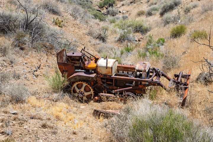
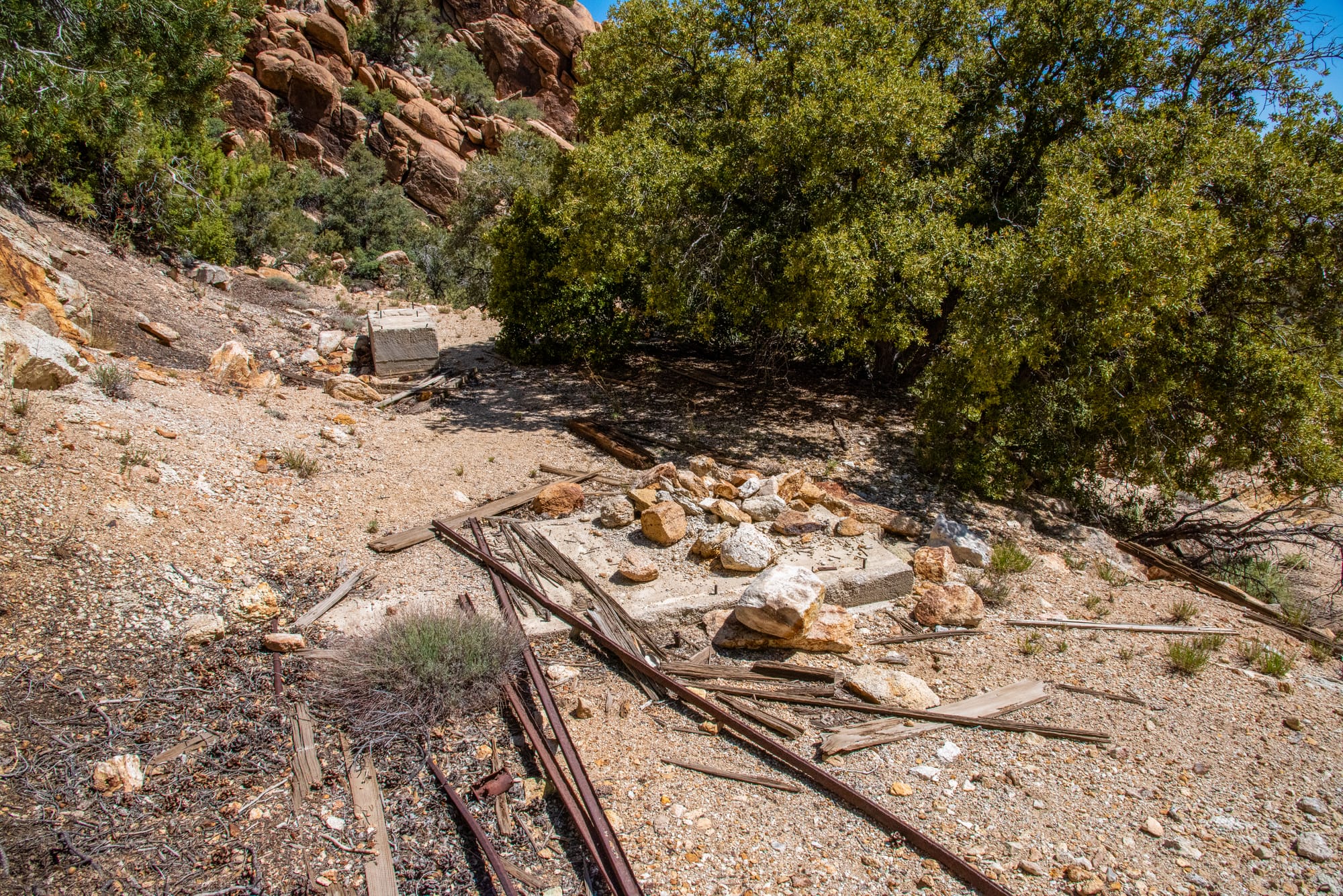
I found no record of what machinery stood at the mine site; the timber foundations, a length of heavy iron pipe, and a raised rock-walled pad are all that is left of it.