Fried Liver Wash is one of those hikes in Joshua Tree that really tests your appreciation for subtle desert landscapes. The canyon itself is pretty unremarkable - just a long stretch of typical desert scenery. And when I say long, I mean it. This is a 15.4-mile one-way trek, which might be enjoyable if there were a clear destination or standout features along the way. But Fried Liver Wash is more of a corridor through the backcountry. That said, if you're after solitude, you'll certainly find it here. Plus, there's an interesting mill ruin near the start that's worth a look.
I did this hike for one reason: it's Fried Liver Wash. Fried Liver Wash! The name alone is intriguing enough to warrant exploration. Why is it named that? What could be found in its depths? Could there be hidden mining artifacts? Ancient rock art? Or, dare I hope, some liver-related mystery? Maybe!
Spoiler alert - Not much. But I did uncover the reason for the name.
Directions
Getting There
This is a one-way shuttle hike. You will need a car (or be picked up) at the Turkey Flat (Pinto Basin) Backcountry Board on Pinto Basin Road. While not technically difficult, I rate it as moderate due to its length. Be prepared and plan your hike for winter or spring. The trail cuts through the remote Hexie Mountains and drops into Pinto Basin — you're unlikely to encounter anyone else out there.
The trailhead is at the Pleasant Valley Backcountry Board. To get there, go south on Geology Tour Road off Park Blvd.
The Road
Road: 6.9 miles, High Clearance
Drive down the graded dirt Geology Tour road 6.9 miles to the Pleasant Valley Backcountry board and park there. Note the road is marked one-way past Paac Kü̱vü̱hü̱’k (formerly known as Squaw Tank) and can be rough around the loop, so high-clearance vehicles are recommended.
The Hike
Hike: Very Strenuous 15.4 miles shuttle, 50 ft gain. 6 to 8 hours
The trail isn’t obvious from the trailhead; walk east past the backcountry board across the sandy flat. You should pick up the old road to the Hexahedron Mine that lies at the foot of the Hexie Mountains and along the northern edge of the dry lake. If you don’t find it immediately, don’t worry, just continue east across the flats. You should come across it if you stay close to the hills. It is a flat 2.7 miles out to the site of an old mine camp at the foot of the mountain. In June 2023, the 1,080-acre Geology Fire burned parts of the Pleasant Valley floor. The fire is suspected to have been human-caused.
As you get close to the old mine camp, you will notice a small hill detached (by the Blue Cut Fault) from the mountains directly ahead. Stay in the wash to the right of this hill. This is actually the beginning of Fried Liver Wash.
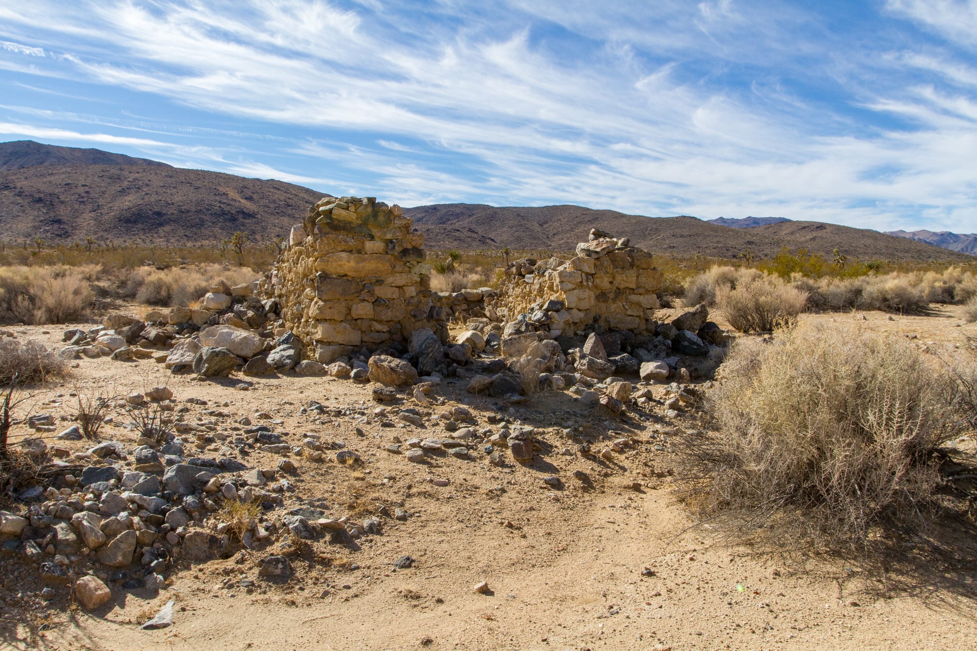
At around 3.2 miles from the trailhead and along the wash, you will come to an old cabin ruin and millsite. I suspect these were both associated with the Hexahedron Mine. On the hillside is what appears to be a flat area and tailings from a mill. This was likely the location of the Hexie Mill for the mine. The stone cabin could have been a little bunkhouse for mill workers. A tin can dump is just upstream from the cabin (see my notes on Dating Historical Sites).
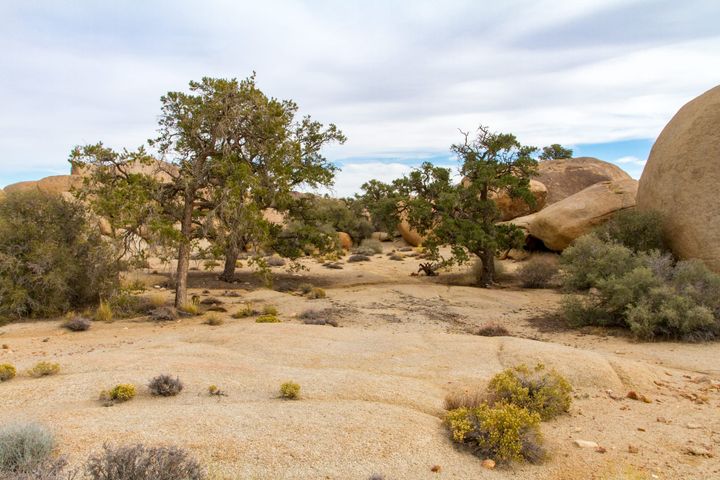
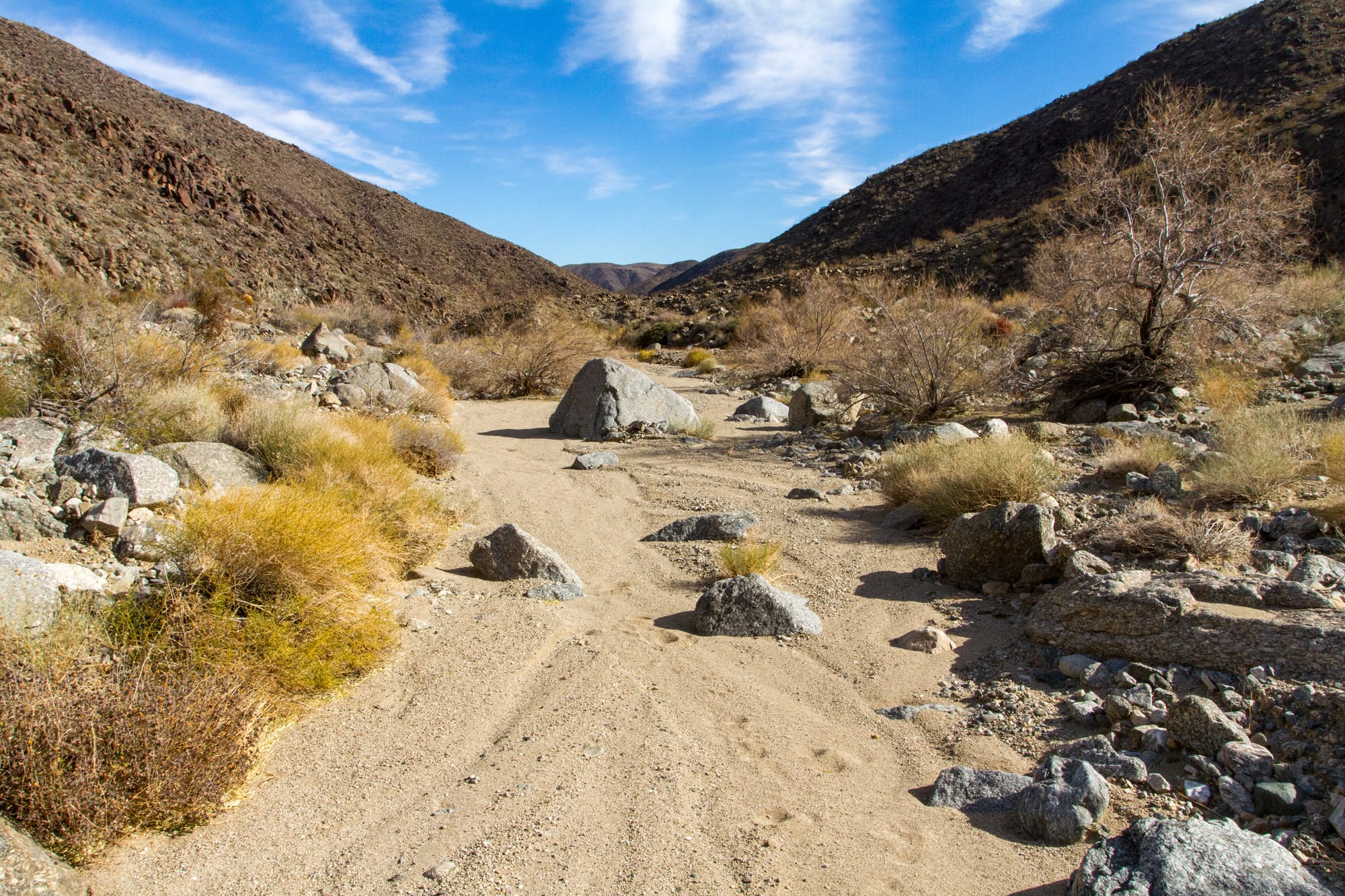
After you've poked around the ruins, follow the wash downstream. In about a mile, it enters the hills and becomes a canyon. So far, the vegetation has been typical of the Mojave Desert. As you go through the canyon, it slowly changes to what is more typical of the lower Colorado Desert.
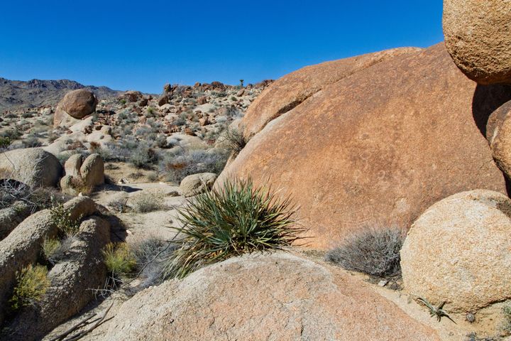
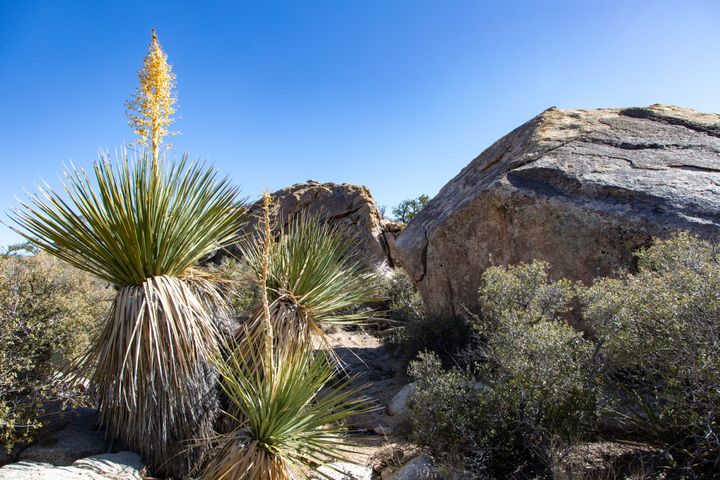
There's not much chance of getting lost once you are in the canyon. The wash cuts a serpentine path through the ancient geologic heart of the Hexie Mountains. Mesozoic granite and Precambrian metamorphic gneiss rock layers form the canyon walls. With each turn, you'll think (hope?) the view will open up to the vast Pinto Basin. Find a good spot under a rare mesquite or smoke tree and have some lunch. While you are taking a break and debating why you are out here, I'll mention that through my research, I discovered that Fried Liver Wash was named by old-timers who thought the flat, dark metamorphic rocks here looked like fried livers.
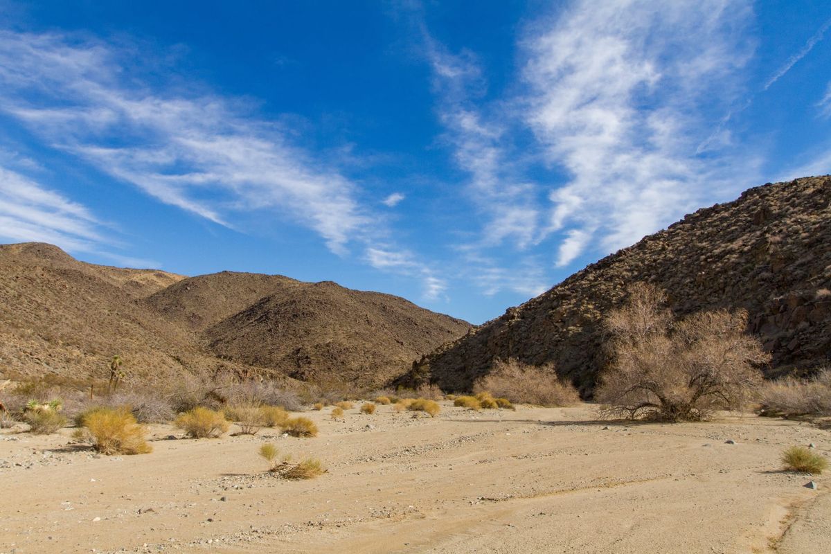
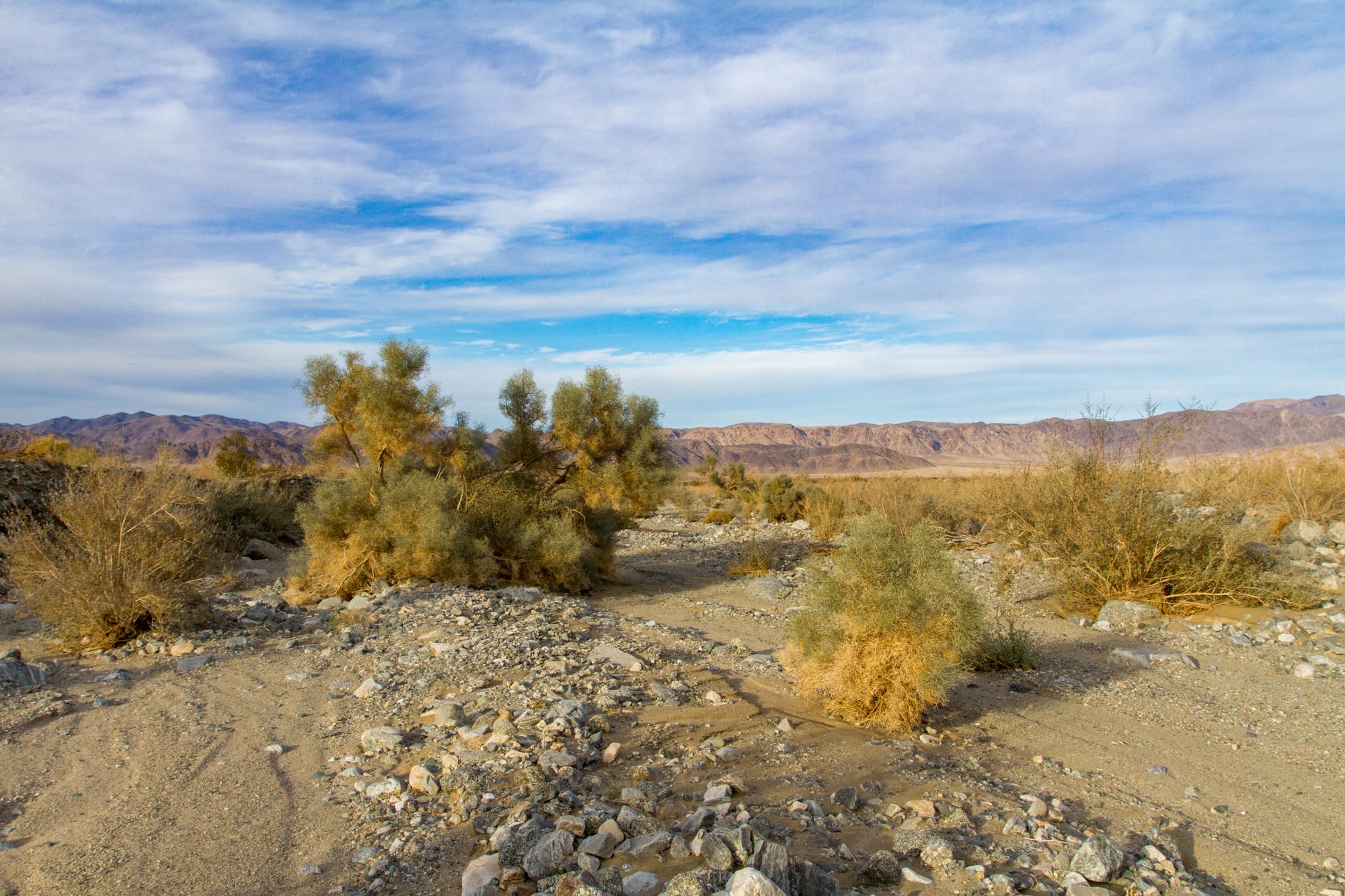
After you've been hiking for twelve miles, it finally happens: the canyon opens up, and the wide expanse of the Pinto Basin comes into view. It is a three-mile-long cross-country hike across alluvial cobble, dodging smoke trees and cacti to the Turkey Flat Backcountry Board parking lot.
If you plan to backpack this hike, you will need a Backpacking Permit. I would camp somewhere just before you enter the canyon or in the canyon itself. I would caution you by saying there are only one or two decent spots in the canyon to camp that are not in the wash itself. Remember, there's no water available along this route, so carry plenty.
Map
GPS Waypoints
- Pleasant Valley Trailhead: 33.92355°, -116.05418°
- Old Millsite: 33.9138°, -116.00348°
- Stone ruin: 33.91246°, -116.00402°
- Canyon Campsite: 33.89788°, -115.95033°
- Turkey Flat Trailhead: 33.90174°, -115.83493°