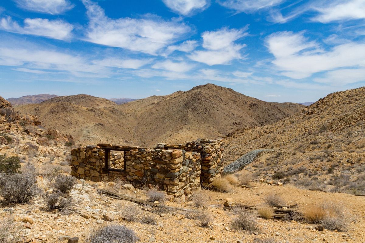
Sometime before 1894, Al Tingman ("The Father of Indio") and Ed Holland (of Lost Horse Mine fame) staked claims on some rich gold ore outcrops high above Pleasant Valley. They sold the mine to Bill and John Garrison, who formed the Hexahedron Mining Company. The Company dug a well but found little water. They also built a five-stamp mill called the Hexie mill, which wasn’t very successful either, probably due to the lack of water. This caused most of the ore from the mine to be hauled to the mill at the New El Dorado Mine on the other side of the mountain. A road once connected them through Fried Liver Wash. The Hexie stamp mill was dismantled by 1929.
At the trailhead on the hillside are the remains of the Gold Coin Mine, of which not much is known. It was worked intermittently and was first operated in the early 1900s by the German-American Mining and Milling Company. Water was hauled from Pinyon Well (to the south). By 1929, the mine was being worked again and was owned by F. C. Longnecker of Los Angeles. The mine never produced much and had closed down by 1933. It had some minor prospects and a 100-foot shaft.
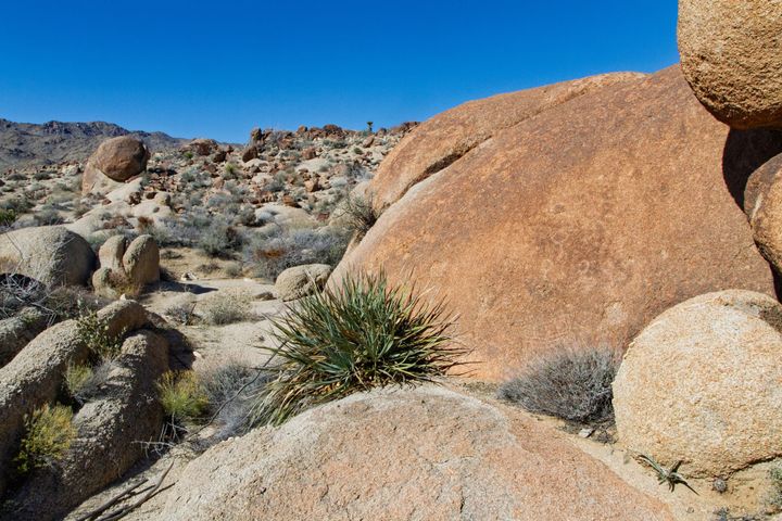
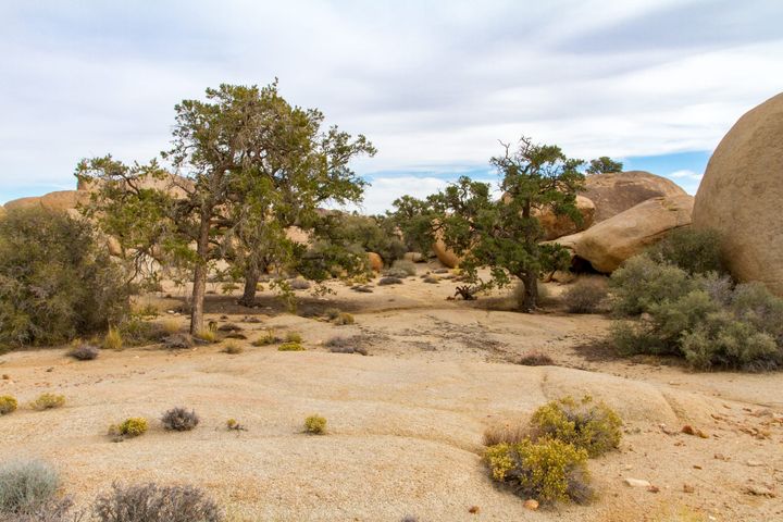
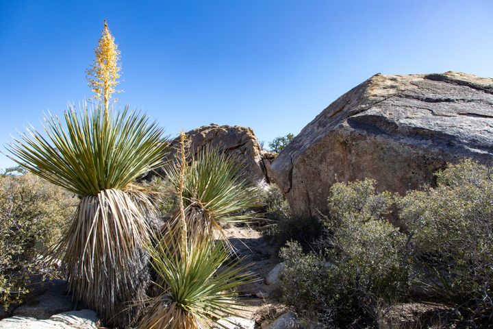
In June 2023, the Geology Fire burned parts of the Pleasant Valley floor, between the trailhead and where the trail begins to climb up the mountain. The burned area starts about 0.8 miles from the trailhead. The fire is suspected to have been human-caused.