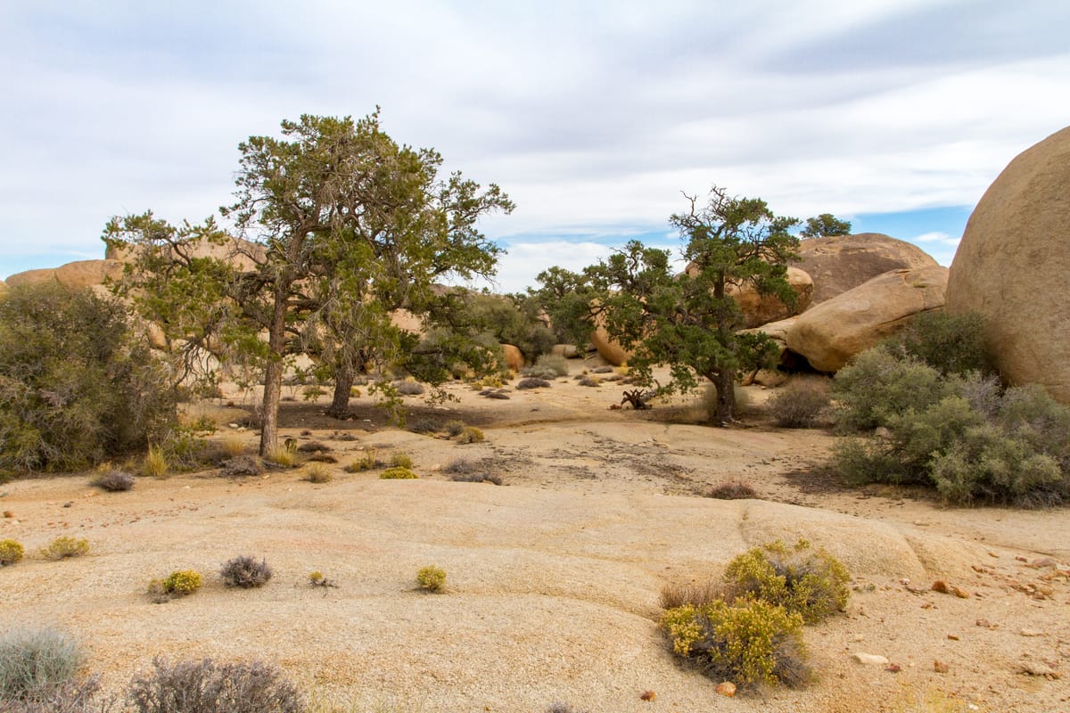
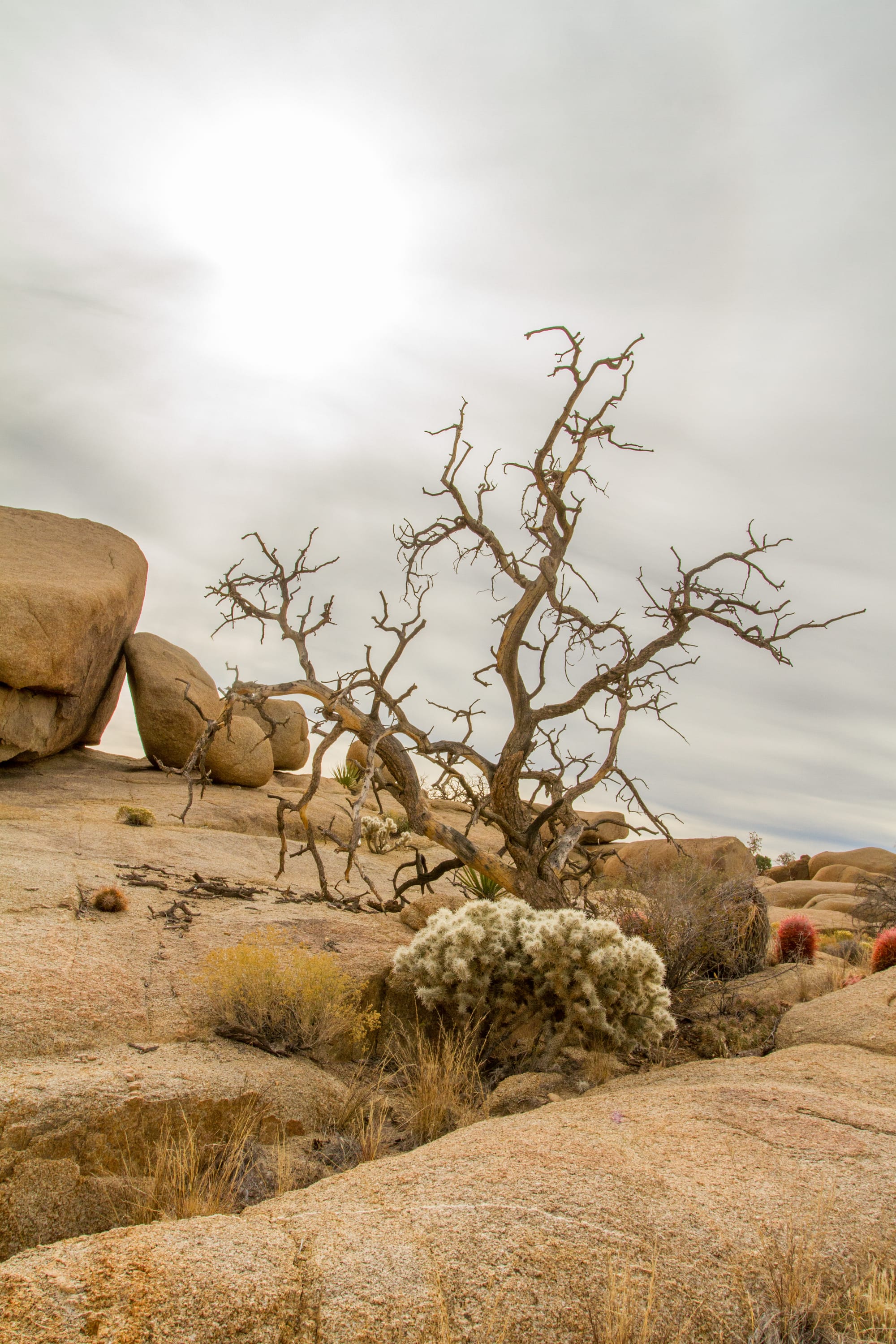
Pine City was never a city. Instead, it's a peaceful collection of pinyon pines and junipers scattered among granite boulder formations at 4,200 feet elevation in Joshua Tree National Park. This unusual concentration of drought-resistant conifers in the otherwise sparse desert landscape likely inspired early miners to name it. Their own settlement dreams, however, proved considerably less durable than the trees. The pines seem quite pleased with their real estate choices, having outlasted whatever human ambitions once existed here.
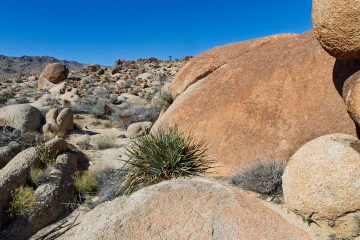
This tranquil spot sits in a hidden pocket of the Wonderland of Rocks, where the higher elevation and sheltered granite alcoves allow these conifers to thrive. Stark White Tank monzogranite boulders dominate the landscape. Their weathered formations also provide shelter for bighorn sheep that visit during summer months. For this reason, the immediate area around Pine City is designated as day-use only to protect them.
History
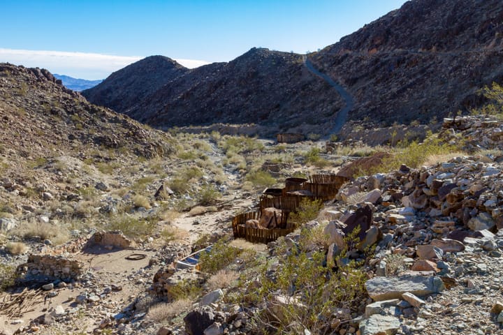
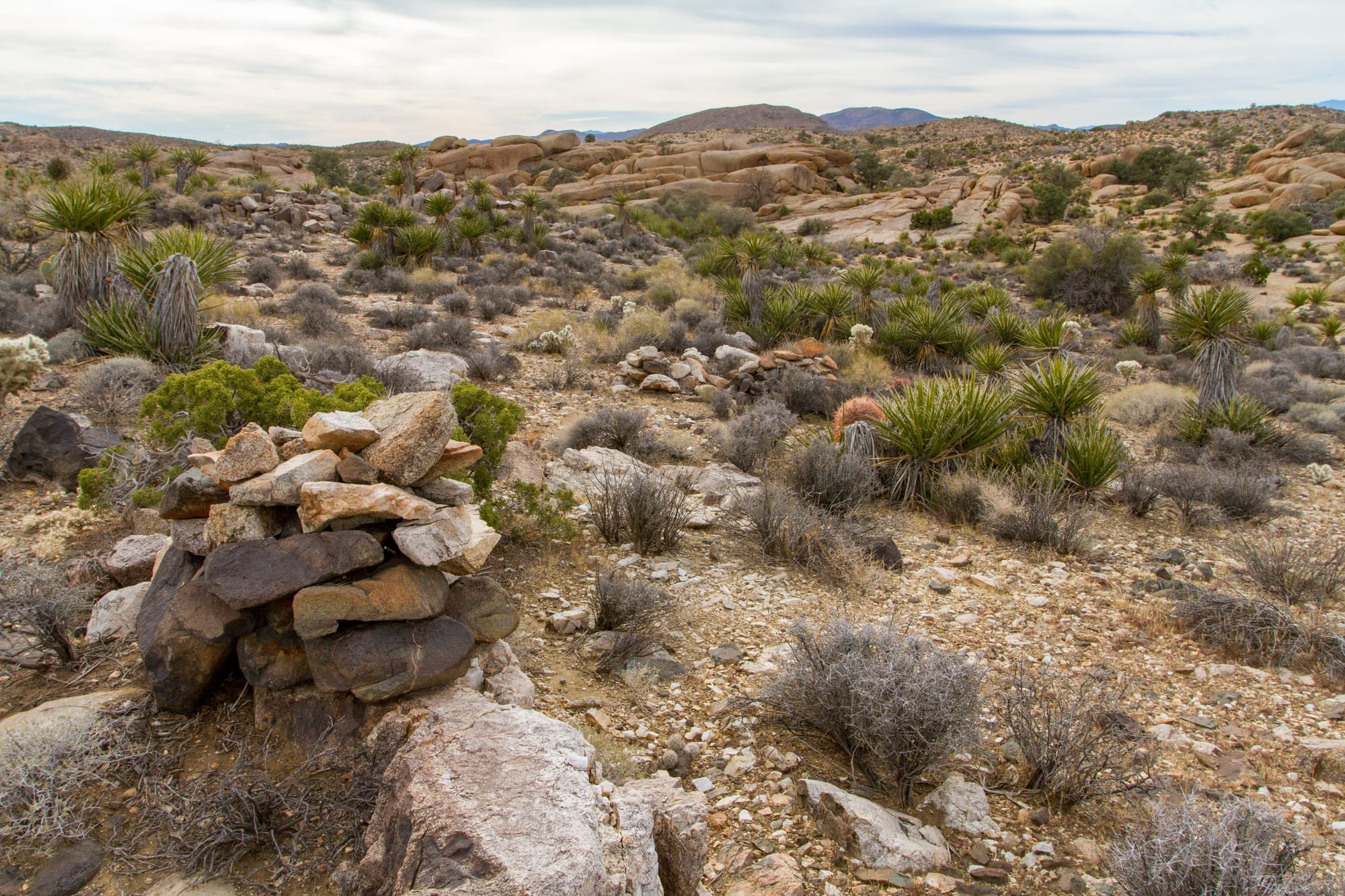
Historical information about Pine City is about as sparse as the remains. The few collapsed mine shafts scattered among the rocks (now gated for safety) suggest some optimistic souls once thought they'd strike it rich here – spoiler alert: they didn't. Unlike the nearby Desert Queen Mine, which was actually a good producer, Pine City is more of a mining footnote than a chapter.
Local lore suggests that one of the McHaney brothers, cattle rustlers who operated in the area in the late 1800s and early 1900s, may have had a hideout among the boulders around Pine City. The McHaneys were notorious figures in the region's early history, and the natural granite alcoves here would have made perfect hideouts. See the Desert Queen Mine for more on them.
Standing amid the pines and boulders today, it's hard to imagine much human activity ever took place here. Whatever cabins or structures once stood have long since disappeared, returning this spot to the quiet solitude that makes it special now. Only the occasional glint of an old rusted can or the smooth-worn path of the trail hints at the people who once passed this way.
Pine City views
Directions
Getting There
The trailhead for Pine City is at the same location as the Desert Queen Mine trailhead. From the intersection of Park Boulevard and Geology Tour Road (1.6 miles west of Jumbo Rocks Campground), turn north onto the graded dirt Desert Queen Mine Road.
The Road
Road: 1.3 miles, Graded
Follow Desert Queen Mine Road 1.3 miles to its end at the Desert Queen Mine and Pine City Backcountry Board. The dirt parking area has space for about six cars and features a vault toilet but no water. The road is usually well-maintained and accessible to all vehicles, though it can become impassable after heavy rain.
The Hike
Hike: Easy 4 miles out and back, 266 ft gain round trip. 2 hours
From the trailhead, follow the old mining road that heads north from the parking area. The trail is well-defined and easy to follow as it crosses open Joshua tree woodland. The path maintains a gentle grade across the high Mojave Desert plateau with minimal elevation change, making this an enjoyable hike for almost anyone.
At about 0.7 miles, you'll cross the remains of the Old Queen Valley Historic Road, though it's now mostly overgrown and difficult to spot. Continue on the main trail as it heads toward the rocky outcrops visible ahead. After 1.4 miles, you'll pass a faint trail junction on your right that leads to Pine Spring, about 0.7 miles away. This side trail is seldom used and can be hard to follow.
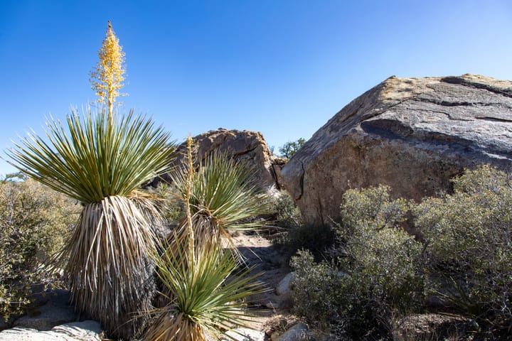
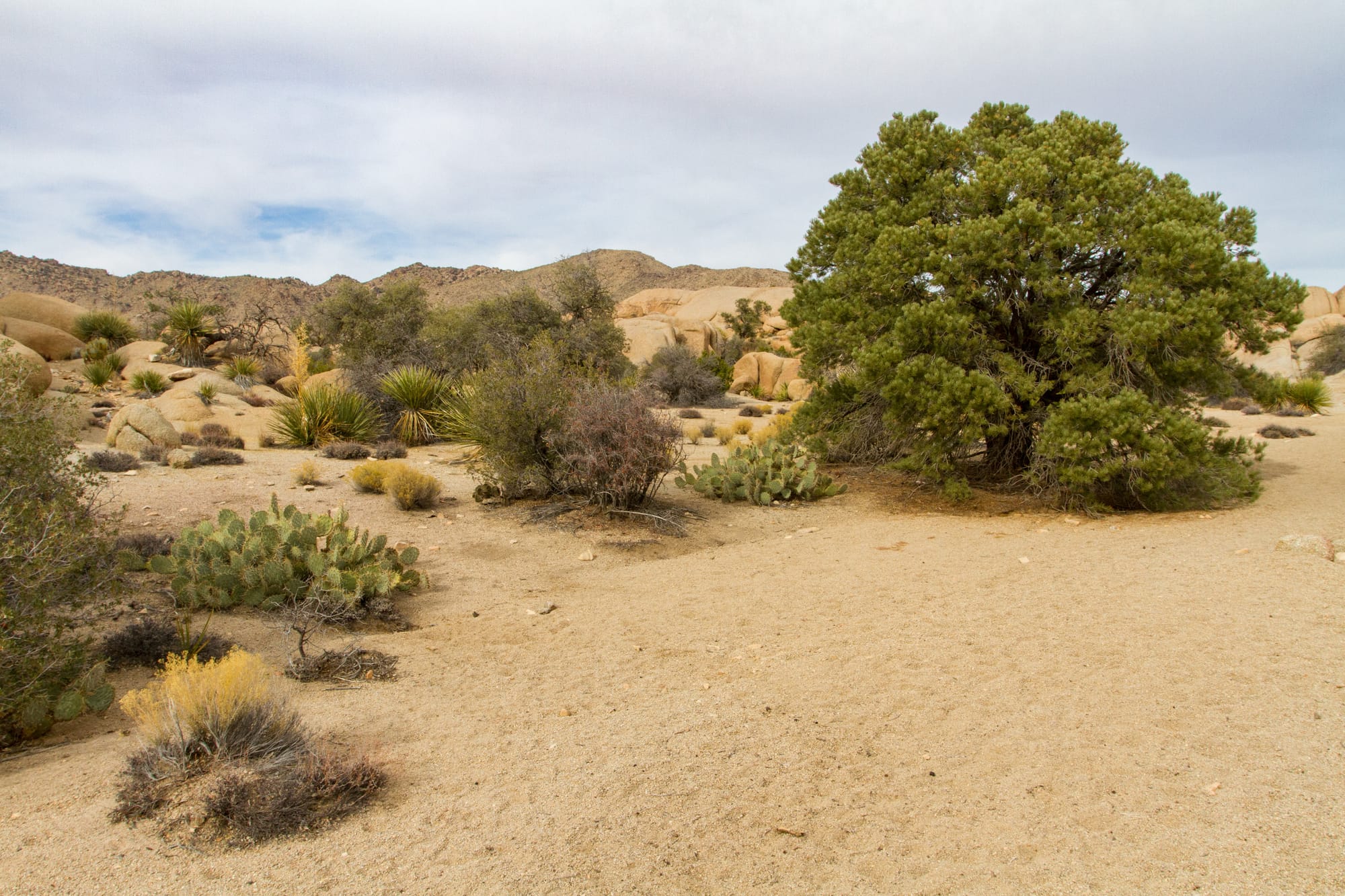
Just beyond this junction, at 1.5 miles from the trailhead, you'll arrive at Pine City. The area is marked by its distinctive grove of pinyon pines (Pinus monophylla) and junipers (Juniperus californica) nestled among impressive granite boulders. Take some time to explore this peaceful area, where the cool shade under the pines provides a welcome respite. Look for evidence of the area's mining past, including a few gated mine shafts scattered among the rocks.
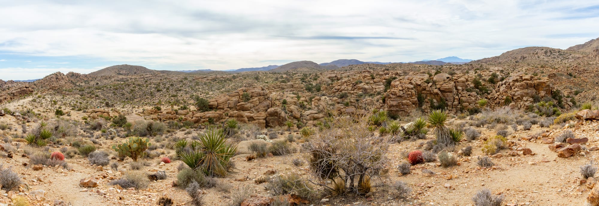
To continue to the overlook, follow the trail as it curves around the western side of Pine City and continues north. You'll pass some old mine tailings on your left. At 2 miles from the start, you'll reach a trail junction. The path to the right drops steeply into Pine City Canyon (a challenging route for experienced hikers), but for the overlook, take the left fork and follow it a short distance to the high point.
From this vantage point at 2.2 miles from the trailhead, you'll be rewarded with expansive views into Pine City Canyon below. The prominent peak to the west is 5,677-foot Queen Mountain, one of the highest points in the park. To the east is Peak 4769, and looking back south, you can see Peak 4822. The view also takes in Ryan Mountain to the southeast, while on clear days, you might spot the distant granite spire of San Jacinto Mountain far to the southeast.
Looking northeast down the canyon, you can see parts of the Twentynine Palms Marine Base with the Bullion Mountains beyond. The Sheep Hole Mountains are visible to the east, and the distant Old Woman Mountains can be seen on the horizon on clear days.
This overlook makes a perfect turnaround point. Return the way you came, taking time to enjoy the unique desert scenery and perhaps stop for a rest among the pines of Pine City.
For those interested in backcountry camping, there are several secluded spots south of Pine City where overnight stays are permitted. Remember that camping is not allowed in the day-use area around Pine City itself. Be sure to register at the backcountry board at the trailhead before heading out, and note that fires are not permitted in the backcountry.
Map
GPS Waypoints
- Pine City Trailhead: 34.0237°, -116.0777°
- Pine City: 34.04297°, -116.06911°
- Pine City Canyon Overlook: 34.04831°, -116.0679°