Ryan Mountain, rising above the boulder-strewn plains of Lost Horse and Queen Valleys, is one of the best and most popular hikes in Joshua Tree National Park. It is a signature hike. The mountain offers fantastic panoramic views only available elsewhere in the park by long, cross-country hikes.
The mountain was named after the Ryan brothers, who built Ryan Ranch at its base.
Directions
Getting There
The Ryan Mountain trailhead paved parking lot is well-signed along Park Blvd. It is 1.5 miles east of Ryan Campground and 4.7 miles west of Jumbo Rocks Campground. The trailhead is easily identifiable by the imposing granite formation of Ryan Mountain itself. You can't miss it.
The Hike
Hike: Moderate 2.9 miles out and back, 1,055 ft gain round trip. 2 hours
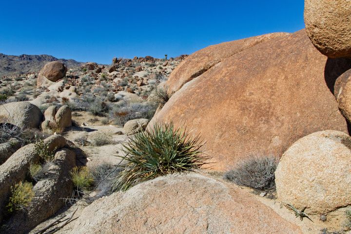
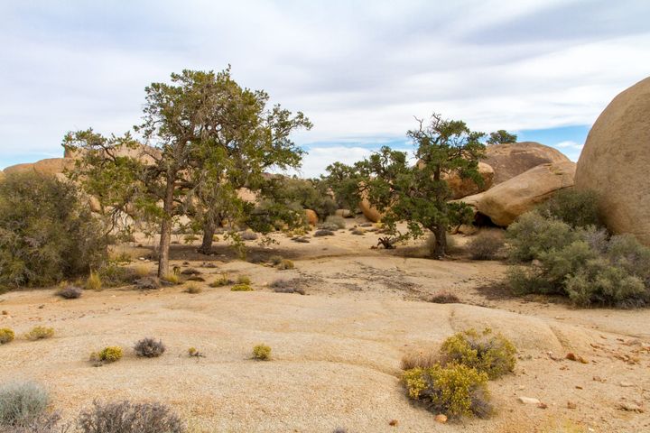
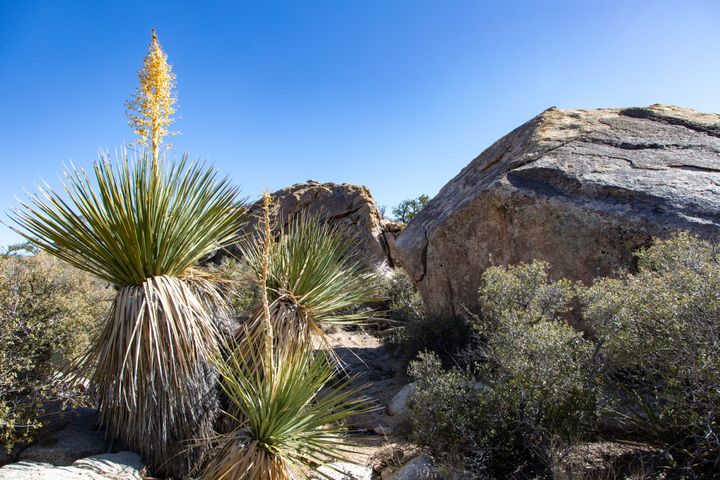
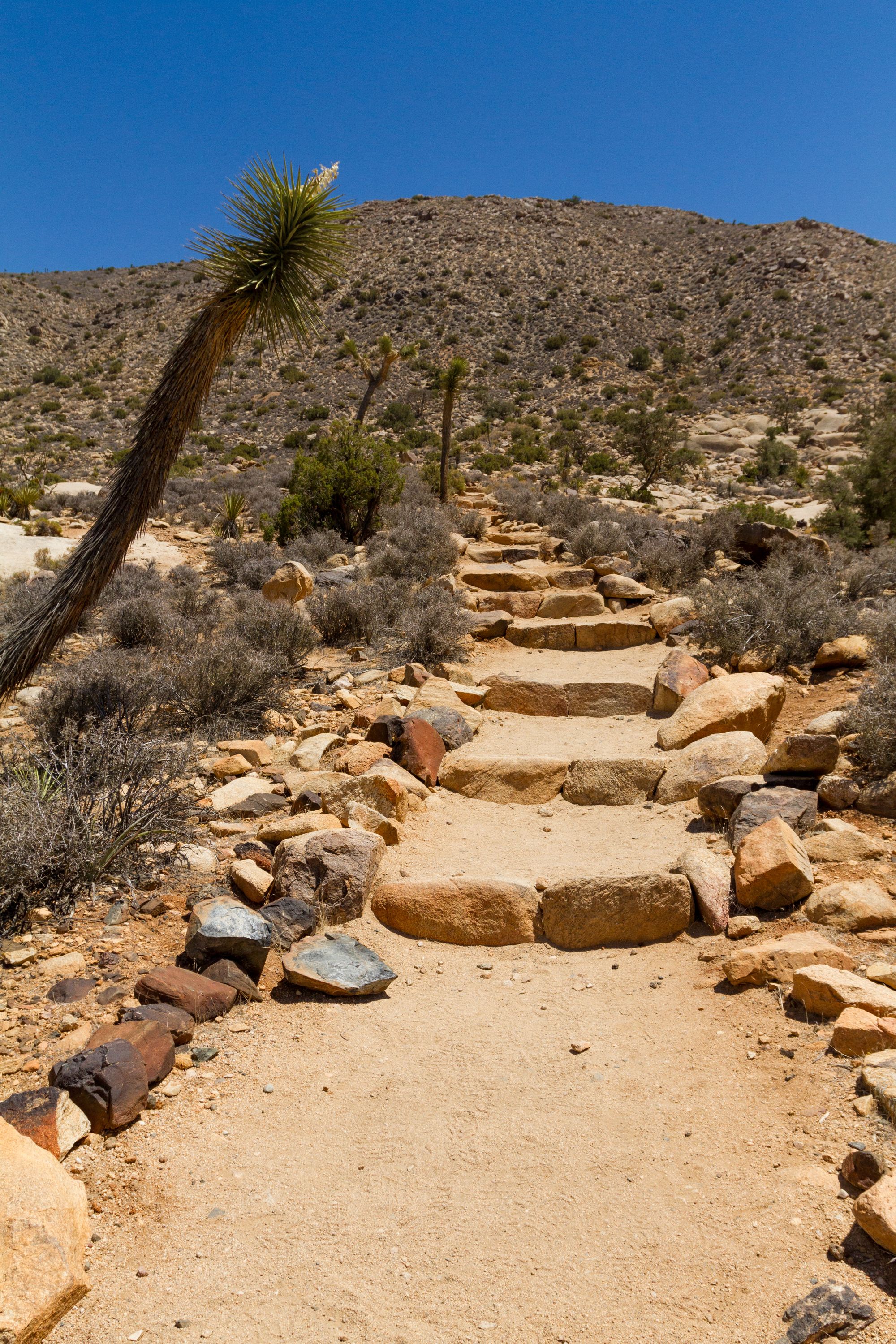
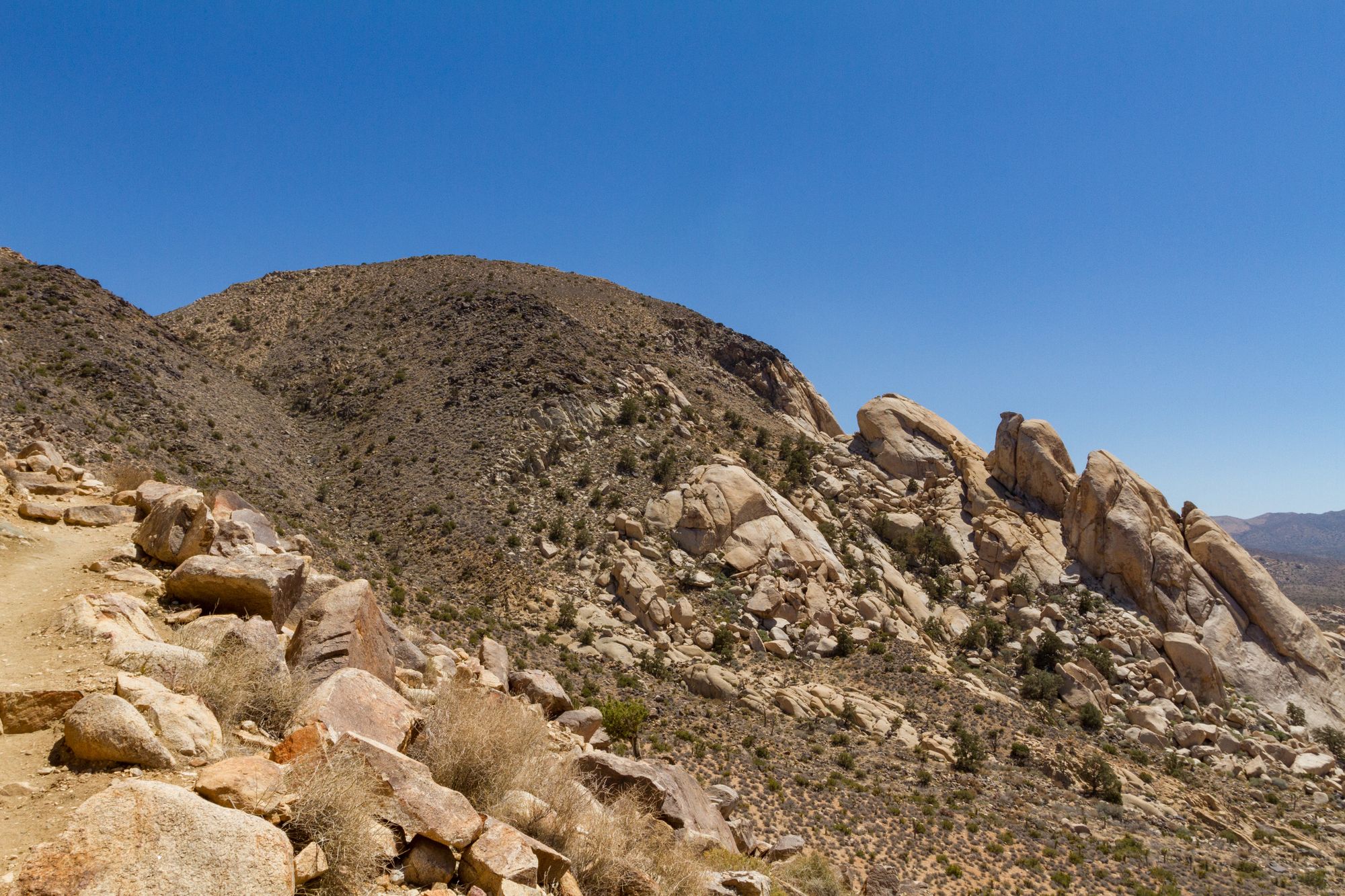
The trail begins by passing between a couple of outcrops of White Tank granite and then quickly gains the Precambrian metamorphic slopes of Ryan Mountain. As you make the steady, relentless ascent, the diverse flora of pinyon pine, juniper, and yuccas provides a scenic backdrop, rewarding your efforts with increasingly spectacular views with every step.
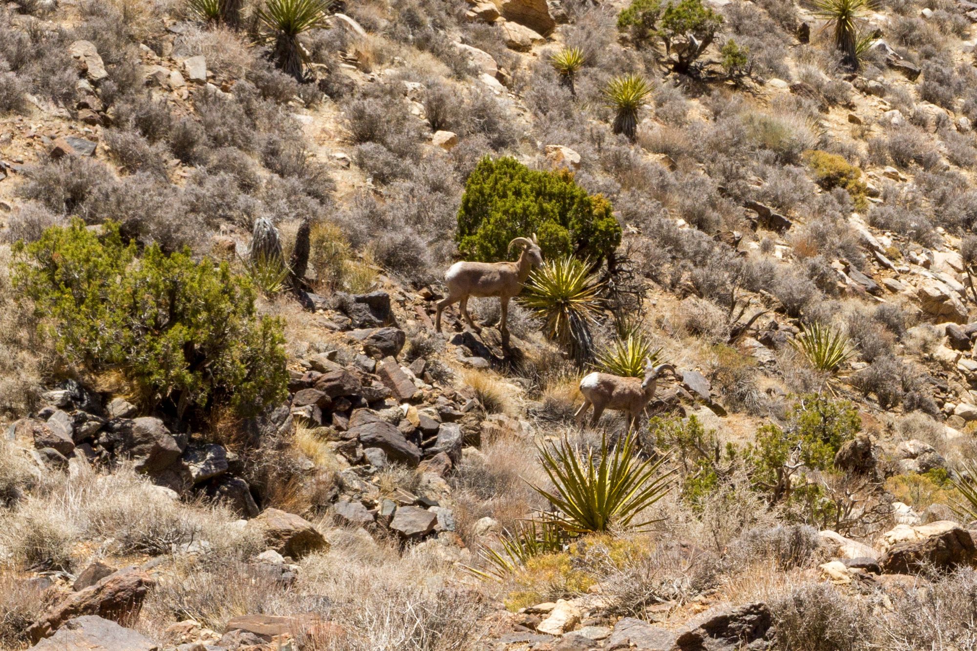
Keep a sharp eye on the hillside above and below you as you hike up. Sometimes, Desert bighorn sheep (Ovis canadensis nelsoni) are spotted along the trail. They blend in so well with their surroundings that they might as well be invisible. The NPS reports that only a few hundred live inside the park. To protect these rare and magnificent creatures, maintain a respectful distance and enjoy the privilege of observing them in their natural habitat.
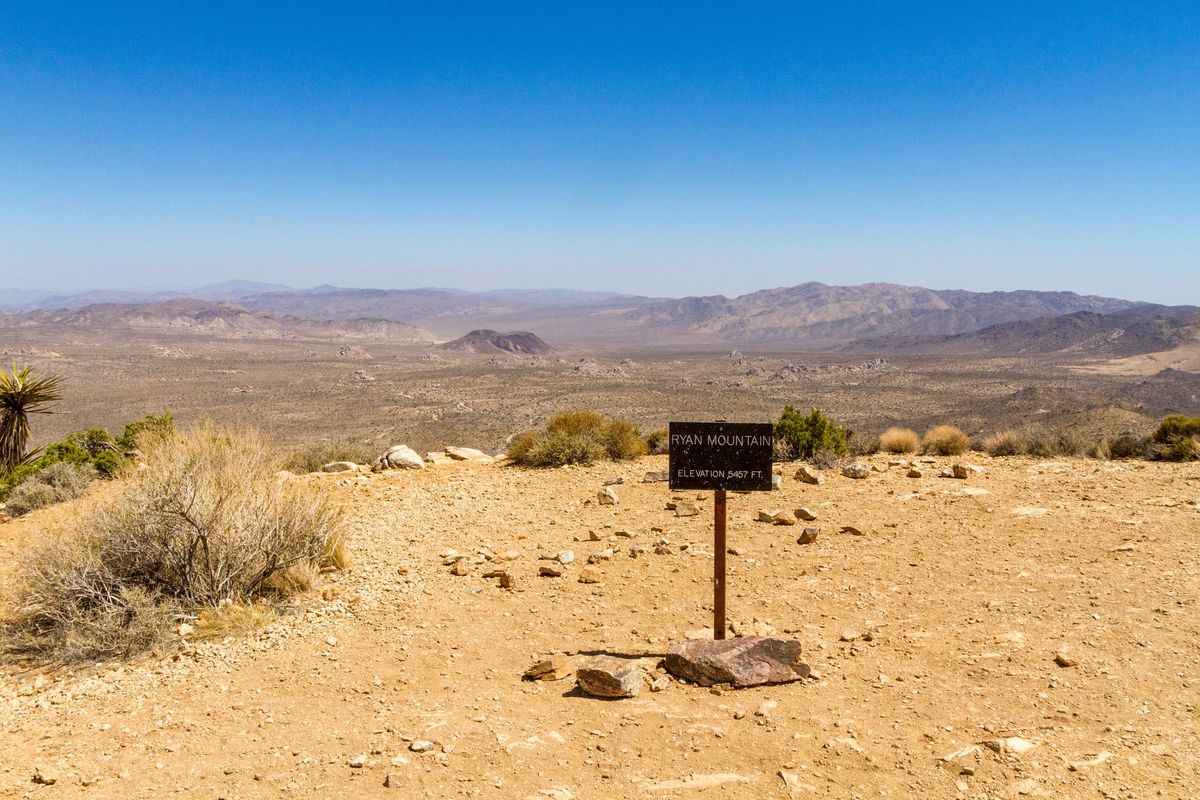
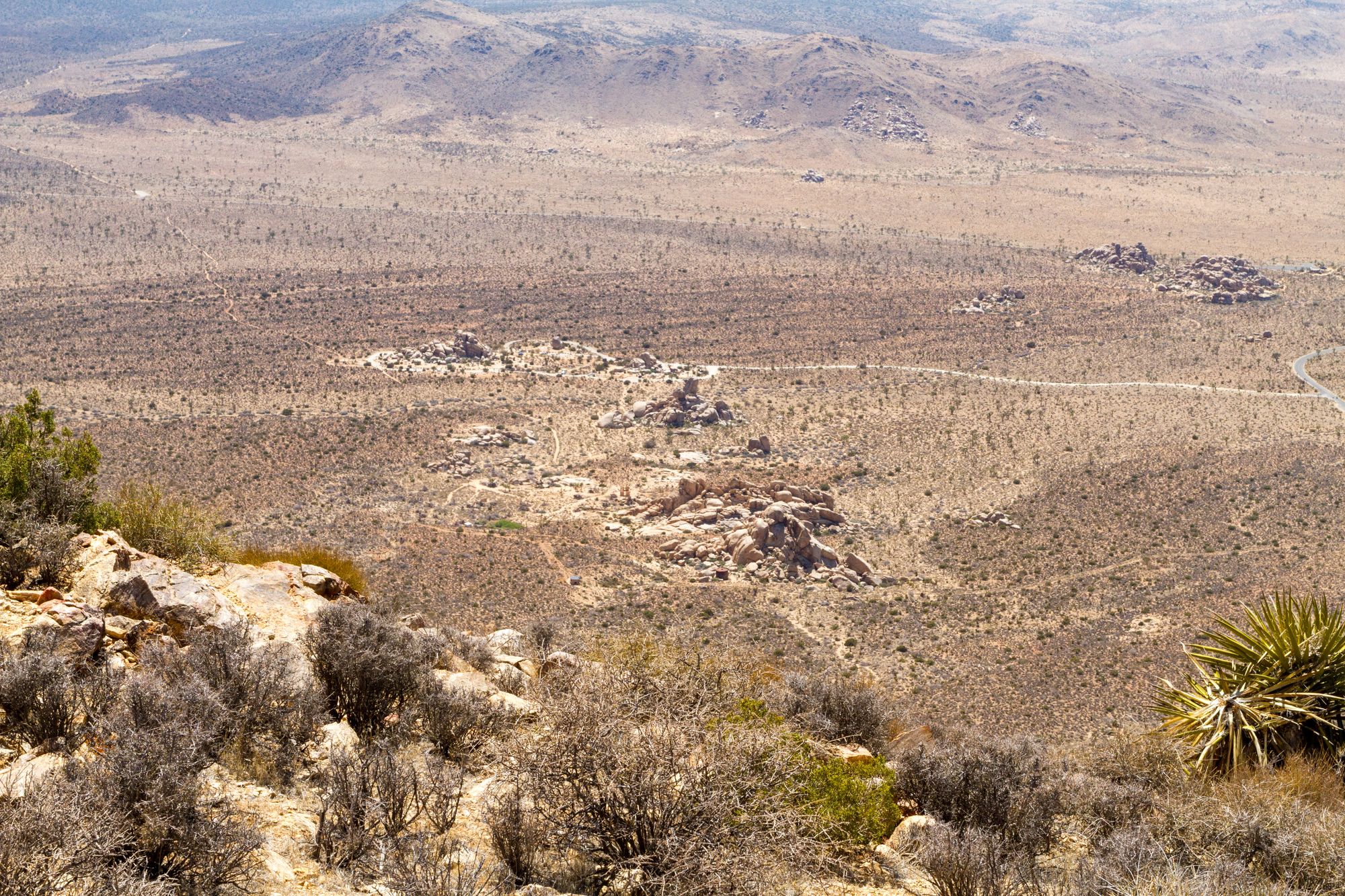
At 0.9 miles in, you will come to a small valley. The broad summit is a short 0.5 mile away. From this 5,457-foot peak, the panoramic vista stretches across Lost Horse, Queen, Pleasant, and Hidden Valleys, with the majestic peaks of 10,804-foot San Jacinto and 11,499-foot San Gorgonio piercing the horizon on clear days.
Map
GPS Waypoints
- Ryan Mountain Trailhead: 34.00254°, -116.13593°
- Ryan Mountain Summit: 33.986°, -116.1346°