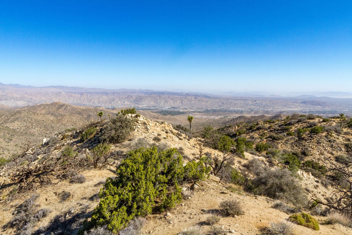
Warren Peak is an unassuming peak in the quiet northwest corner of Joshua Tree National Park. At 5,103 feet, it is only the 10th highest peak in the park, but from its summit the extraordinary panoramic view takes in Mount San Gorgonio, the Coachella Valley, Mount San Jacinto, as well as the shimmering Salton Sea. Besides the views, I like this hike because it is easily accessible from the busy Black Rock Campground, yet the hike to the summit feels surprisingly remote.
Directions
Getting There
At the intersection of highways CA-62 and CA-247 in Yucca Valley, take Joshua Lane south. It curves around through residential neighborhoods for five miles until it reaches Black Rock Campground. Follow the signs. Park on the left near the entrance at a trailhead kiosk sign. There is only room for a couple of cars. This makes an excellent hike from the Black Rock campground.
The Hike
Hike: Moderate 5.7 miles out and back, 1,144 ft gain round trip. 3 hours
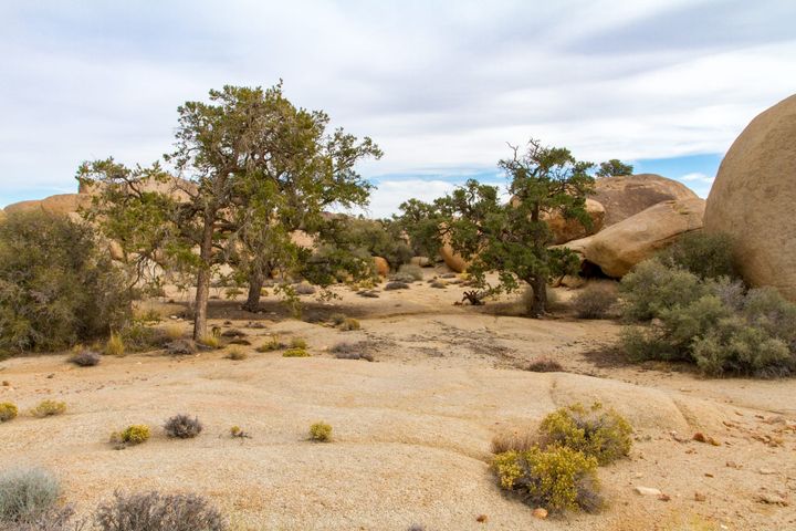
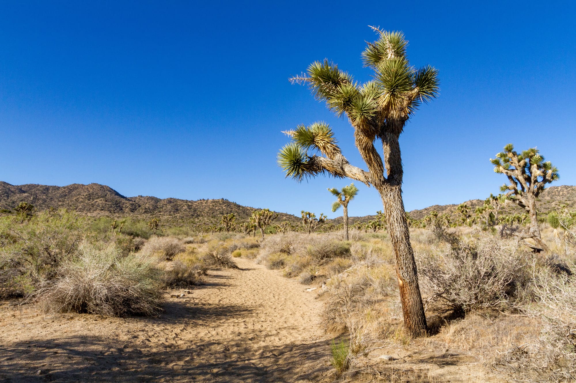
From the trailhead kiosk, follow the trail east into the wash. Our route turns right, upstream, and into the sandy wash of Black Rock Canyon. This is a pleasant countryside of Joshua tree woodland and pinyon pine-covered hills. Walking up the wash, you will almost immediately see a large metamorphic boulder in the middle of the wash at a trail junction. This is the start of the California Riding and Hiking Trail. This 37-mile trail cuts through the heart of the park and ends near the North Entrance of the park at Twentynine Palms.
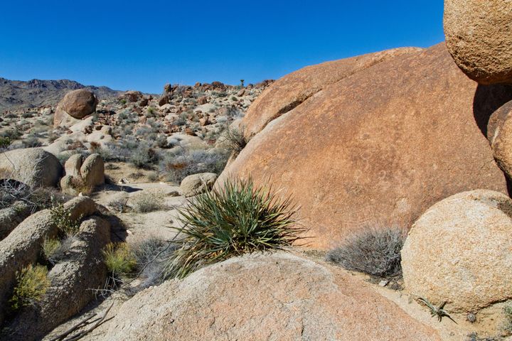
Our trail continues directly ahead and up the wash. At 0.7 miles up the wash, we come to another side trail; this time, it is the Short Loop Trail, and in another 0.1 miles, we reach the turn-off for the Burnt Hill Trail. Skip both of these and stay in the wash. At exactly 1 mile in, there is a prominent rock outcrop on the left. This is a nice example of metamorphic gneiss. The pressures and temperatures required to fold the layers in the rocks are amazing. It is possibly of Precambrian origins.
On the trail
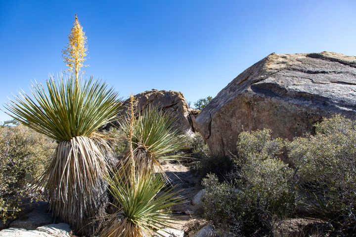
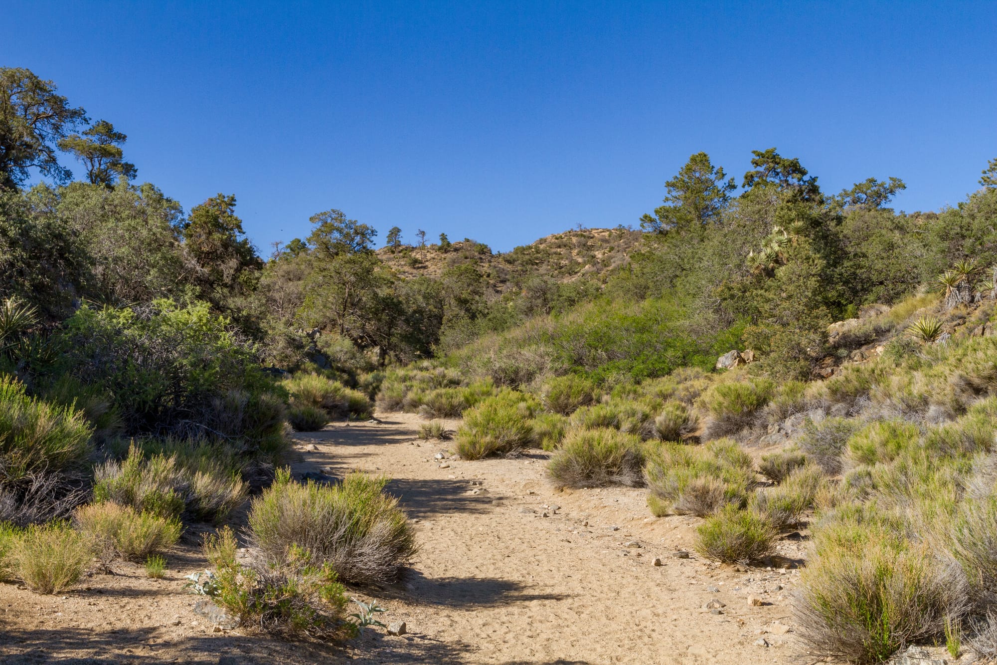
At 1.6 miles from the trailhead, you'll notice the canyon begins to narrow and the vegetation thickens. Black Rock Spring emerges on your right. Mesquite (Prosopis glandulosa) and even oaks (Quercus ssp.) cluster around the small amount of water here. When I hiked by in April, I startled some Gambel’s Quail (Callipepia gambelii).
Just 0.2 miles beyond, we come to another trail junction. The sign says “Panorama Loop / Morongo View Trail”. You could take the left fork. It will add 2.2 miles of rolling hills and scenic views to your trip. We want to take the right fork, however. Also, there is a trail post here marked “WP” for Warren Peak. Our trail continues its steady climb in the canyon, and at 2.1 miles in, we come to a side wash where the Panorama Loop rejoins our trail. Stay right. Our trail has turned decidedly westward. In 0.4 miles, a short side trail heads over to Warren’s View. Stay right again. From here, Warren Peak is clearly in view and directly ahead. The grade increases, and the trail is rocky in sections, but the final 0.4 miles to the top is easy.
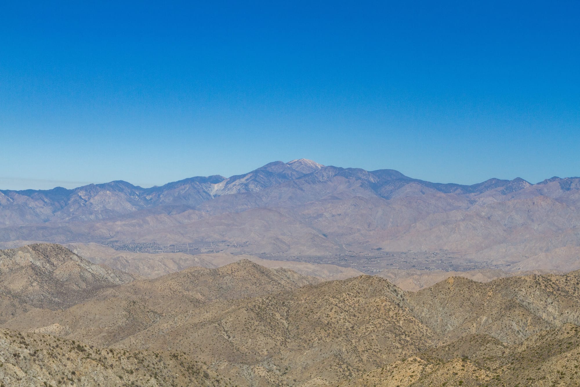
5,103-foot Warren Peak feels higher than it actually is. The peak has spectacular views in all directions. The entire north face of Mount San Jacinto is visible and seems closer than the 23 miles away that it actually is. The lofty summit of Mount San Gorgonio is off to the west. Yucca Valley (originally known as Warren’s Well) is off to the north. The Granite Mountains of the southern Mojave National Preserve are to the northwest. Eureka Peak and the rest of the Little San Bernardino Mountains stretch off to the east.
Alternate hike
If you don’t have time for Warren Peak, you could also try a shorter alternate in the South Park Peak Loop trail. The trail climbs an easy 319 ft to the small South Park Peak and has a terrific overview of Yucca Valley. It should only take a half hour to hike. The trailhead is 0.7 miles west of the Black Rock Campground at a small picnic area.
Map
GPS Waypoints
- Black Rock Trailhead: 34.0753°, -116.3879°
- Warren Peak: 34.0551°, -116.4072°