Hidden Valley has a hidden secret: its outlaw past. The history of this area dates back to the mid-1870s when ranchers discovered it had good spring grazing and winter feed for their sheep and cattle. Around this time, a group known as the "McHaney Gang" began utilizing certain areas of what is now Joshua Tree National Park. Led by Bill McHaney, this local cattle rustling ring operated a lucrative scheme. They would steal cattle from ranges in southern Arizona, drive them westward into California, and conceal them in Wonderland of Rocks and the surrounding area. The stolen cattle would then be sold in southern California markets. They would then steal horses from California and sell them in Arizona.
While the McHaneys didn't use Hidden Valley, they took advantage of similar terrain in the surrounding area. The gang built corrals inside box canyons, and the entrances to these valleys were hidden from view. The remote location made a great hideout. By the late 1800s, the use of the area for stock rustling was declining. This was likely due to the formation of Riverside County in 1893, which brought law enforcement closer and pressure from legitimate cattlemen. (See the Desert Queen Mine and Barker Dam for more on the McHaneys and ranchers.)
It wasn't until the 1920s or '30s (sources vary on the exact date) that Hidden Valley was made accessible. Bill Keys blasted an entrance into this natural corral to allow his cattle to graze there.
Directions
Getting There
The trailhead is easy to find in the Hidden Valley Picnic Area of Joshua Tree National Park. As you drive into the paved parking lot, it is on the right, near the restroom.
The Hike
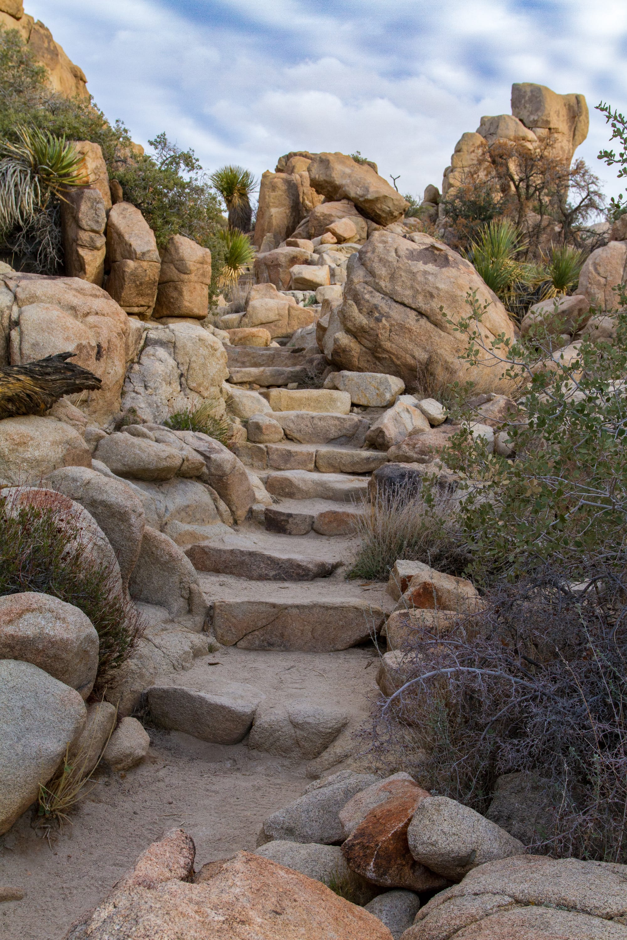
Hike: Easy 1 mile loop, 120 ft gain round trip. 30 minutes
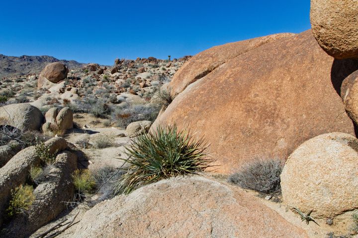
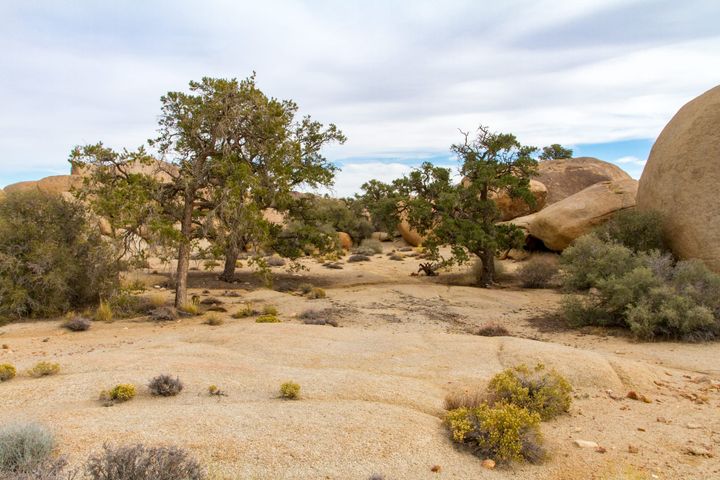
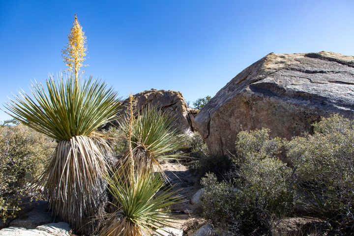
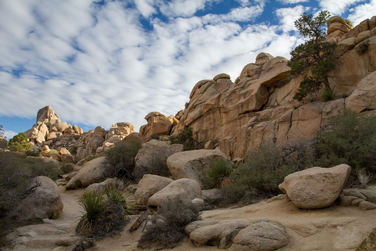
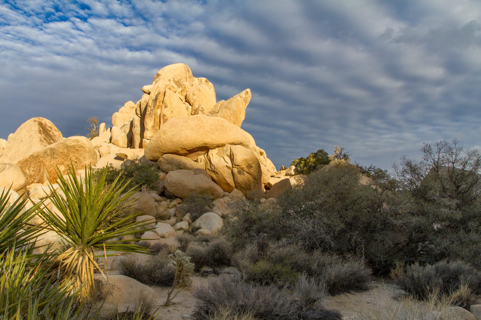
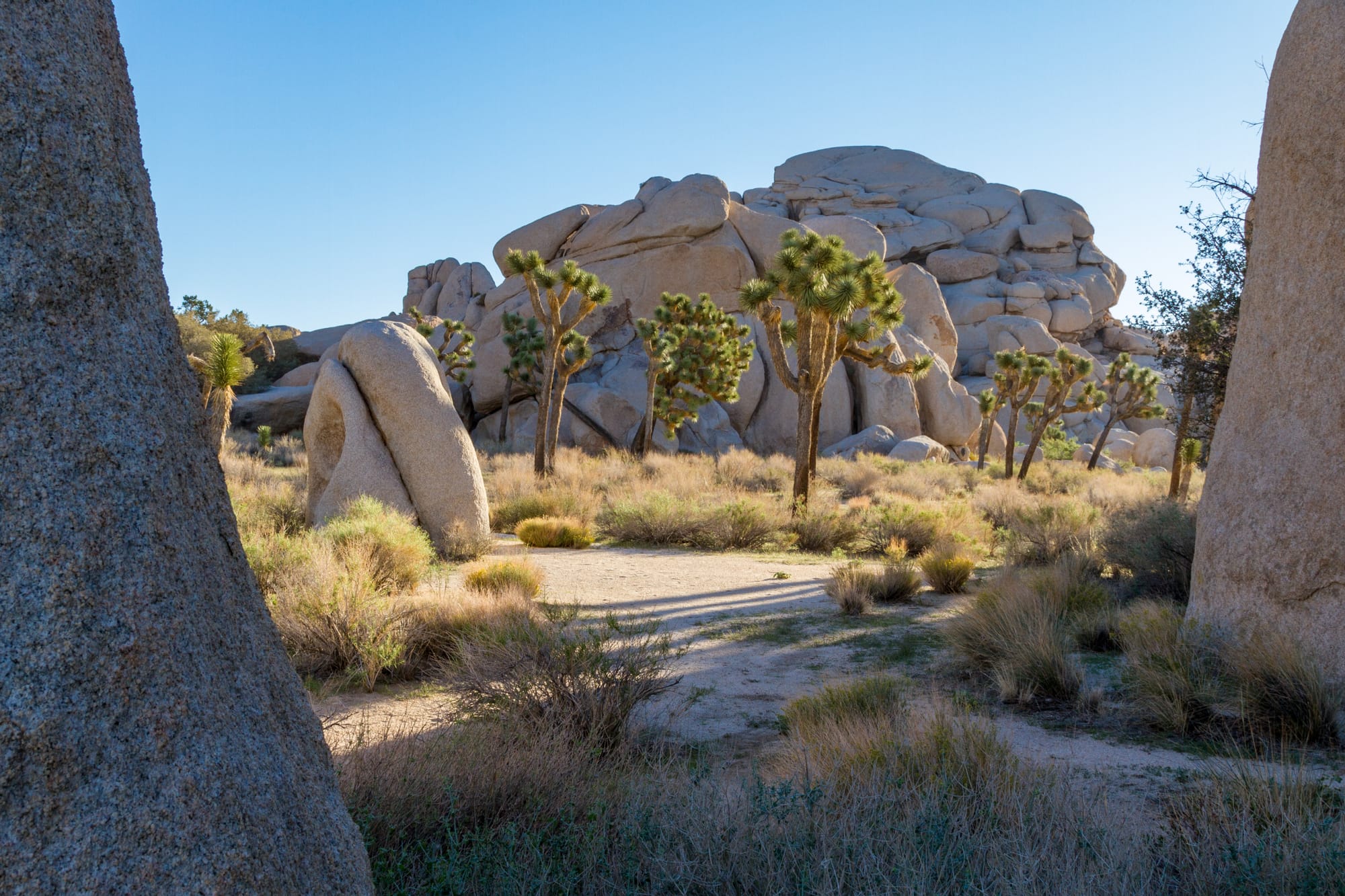
This short loop is more of a nature trail than a hike, but don't let that deter you. It's a great introduction to Joshua Tree's unique landscape and is perfect for families. As you stroll through the valley, watch for rock climbers scaling the surrounding walls. While you're unlikely to find solitude here, Hidden Valley offers a quick way to marvel at a slice of Joshua Tree's Wonderland of Rocks and history.
Map
GPS Waypoints
- Hidden Valley Trailhead: 34.0124°, -116.1681°