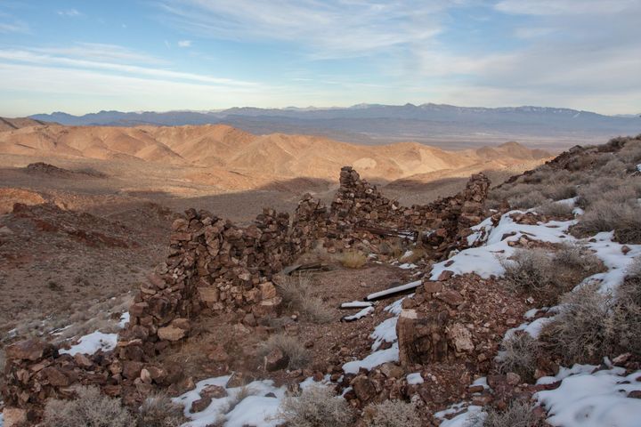
GPS Only
These trips have GPS waypoints (but not detailed directions). GPS waypoints are limited to paid subscribers. GPS coordinates are in Degrees unless otherwise stated. WGS84 Datum.
Be sure to scroll down to load all of the posts.
234 posts
Jake’s Cabin
We’ve been going to Jake’s Cabin for over twenty years. It is a great place to camp out in the middle of nowhere. The cabin is part of an old prospecting camp. A tin can dump is scattered nearby, and a small shaft is hidden down the wash.
Mule Tail Mine
The Mule Tail was one of Shorty Harris’ mines, and the rush to the Goldbelt District started in the early 1900s. It is a small mine, and only a single ore car and lonely adit remain out in this desolate corner of Death Valley National Park.
Terese Petroglyphs
Deep in the El Paso Mountains, at the site of a fossil spring, is an extensive Coso Native American village site. We found rock circles, grinding slicks, mortars, manos with metates, and petroglyphs spread out across a wide area.
Panamint Treasure Mine
Finding this great little gem of a mine is a bit of a hike. The mine was worked as early as the 1890s and again in the 1930s. The miners walked away from the mine in 1941 when World War II broke out, and a presidential order closed many “non-essential”
Ryan Mining Camp
In 2013, I joined a Searles Valley Historical Society field trip to see the well-preserved borax mining camp of Ryan in Death Valley. Having never been in the mining camp before, I jumped at the chance to visit.
Francis Marion Smith founded the Pacific Coast Borax Company in 1890. He
Rebecca Prospect Cabin
I’d known about this cabin and mine for a while, but it took a couple of years to get out there to it. It was once a minor cinnabar operation with a small open pit, but the area has some older prospects, and I wanted to see if rumors