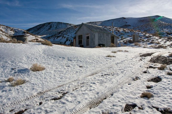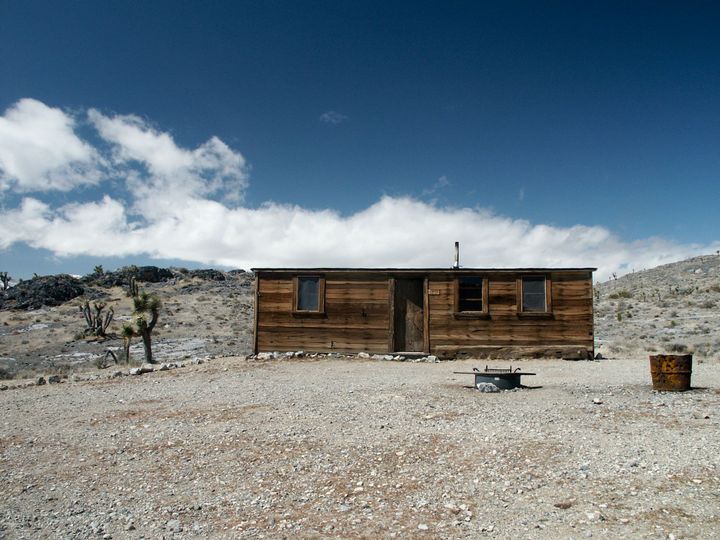
Rebecca Prospect Cabin
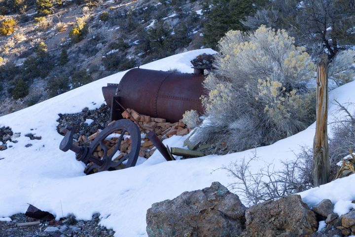
I’d known about this cabin and mine for a while, but it took a couple of years to get out there to it. It was once a minor cinnabar operation with a small open pit, but the area has some older prospects, and I wanted to see if rumors