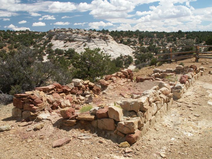
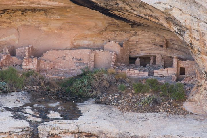
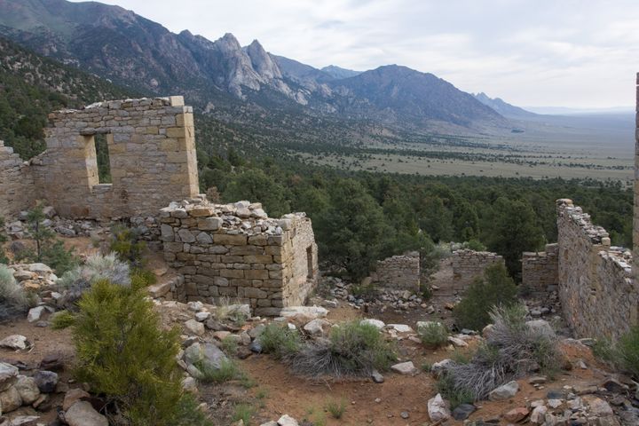
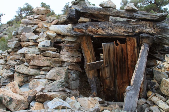
GPS Only
These trips have GPS waypoints (but not detailed directions). GPS waypoints are limited to paid subscribers. GPS coordinates are in Degrees unless otherwise stated. WGS84 Datum.
Be sure to scroll down to load all of the posts.
234 posts
Don Alvadore Mine
The Don Alvadore Mine is a single adit and stope 500 feet up on a cliff above Lundy Canyon. The old trail to the mine is overgrown and hard to follow in places these days.
Delamar Mine
Delamar Ghost Town
The mining camp of Delamar started out as a small tent camp similar to Helene, just a few miles to the north and only a few months later. It was centered around the April Fool, Monitor, Gold Cup, Hog Pen, and a few other small mines. Captain Joseph De Lamar
Magnolia Mine (Helene)
Howe's Tank Petroglyphs
I made two trips in search of the petroglyphs at Howe’s Tank. I was close on the first trip but ran out of time just a few ways from the site. I went out a week later with Howe’s Tank as my main goal and found it after