GPS Only
These trips have GPS waypoints (but not detailed directions). GPS waypoints are limited to paid subscribers. GPS coordinates are in Degrees unless otherwise stated. WGS84 Datum.
Be sure to scroll down to load all of the posts.
242 posts
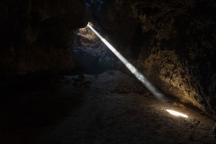
Mojave Lava Tube
Out in the volcanic cinder cones, a few miles east of Baker in the Mojave National Preserve, and hidden among fields of broken basalt and cinder, is the Mojave Lava Tube. Over the course of the last seven million years (during the Pleistocene and Pliocene epochs) and perhaps as recently
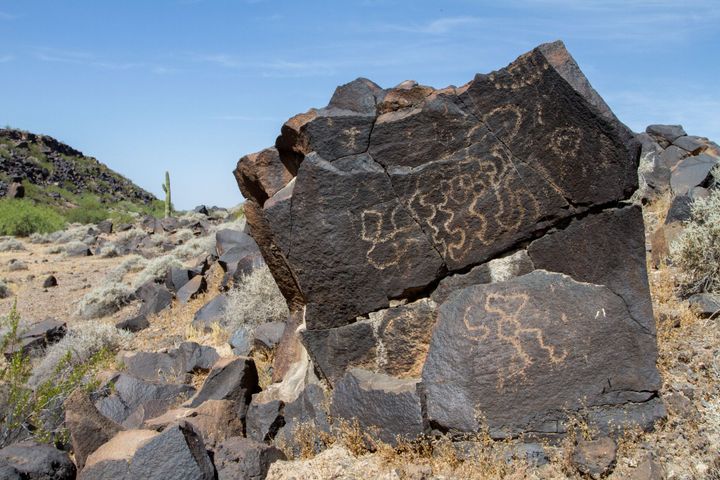
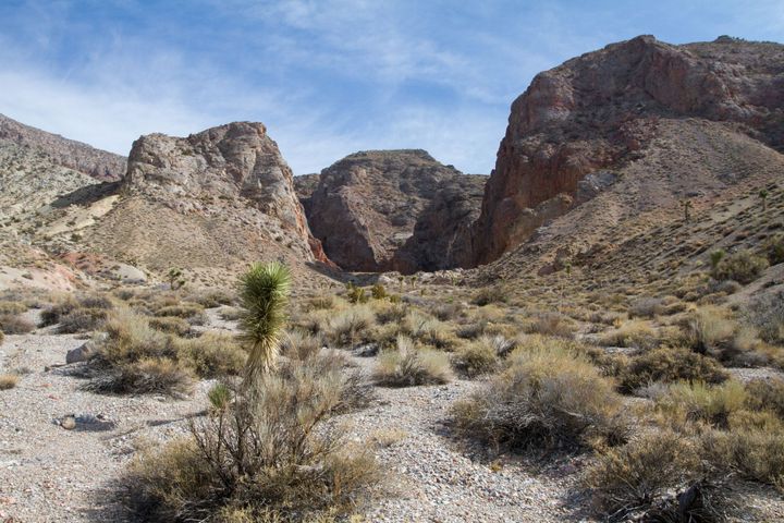
Quail Point Petroglyphs
I met up with a few friends to explore a lesser-visited petroglyph site in Arizona. We didn’t know what we would find. We discovered Quail Point has hundreds of petroglyphs and was certainly worth the trip.
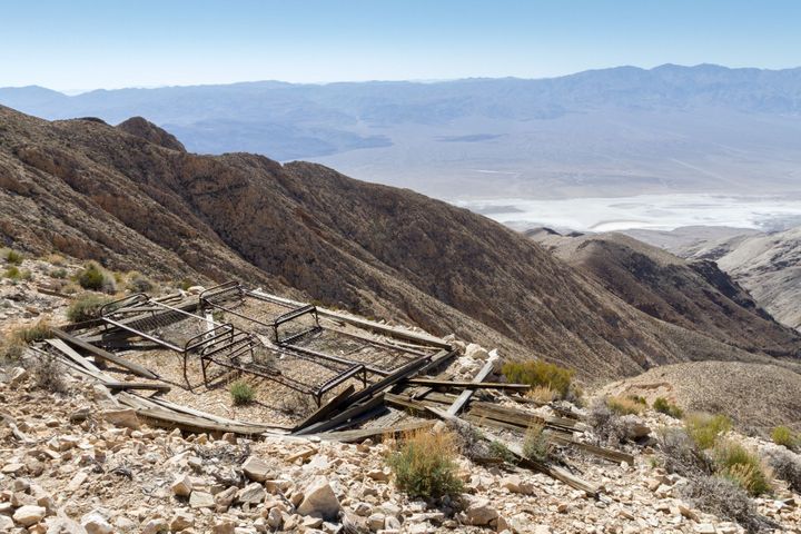
Honolulu Mine
The old Honolulu mine lies on a ridge high in the Panamint Mountains of Death Valley National Park. The mine was first discovered in 1907 by John Thorndike (sometimes misspelled Thorndyke), who worked for silver, lead, and zinc.
Marble Bath Pictographs
There is a place way out in the backcountry of Death Valley National Park called Marble Bath. Actually, it is two places.
Why there are two Marble Baths is a bit of a story. The real Marble Bath is a narrow marble canyon that contains some potholes (also called tinajas

Shenandoah Mine

Oro Copia Mine
The Oro Copia (also known as the Dos Palmas) is an old mine in the heart of the Orocopia Mountains. It was discovered in 1892 by Edward Fish, his son G. B. Fish, and C. O. Barker (of Joshua Tree Dam fame). The ore body was reported to be quite